
Camping near Apache Junction, Arizona
Camping near Apache Junction, Arizona includes 4 public campgrounds on record, 2 reservable and 2 first-come. Most (3 of 4) are run by the U.S. Forest Service. The nearest, Lost Dutchman State Park, is 6.1 miles from Apache Junction in a straight line, and all 4 are within 15 miles. 2 are free, and 3 stay open all year. Another 6 public campgrounds filed under nearby towns are within 30 miles of Apache Junction.

noindex Fewer than 5 campgrounds here clear the indexable bar yet, so this page stays noindex.
Camping near Apache Junction at a glance
- Public campgrounds
- 4 (3 National Forest, 1 State Park)
- Getting a site
- 2 reservable and 2 first-come
- Cost
- 2 free; lowest posted fee at Tortilla: "Single Site: $20 per night"
- Distance from Apache Junction
- 6.1 miles (Lost Dutchman State Park) to 14 miles (The Point) in a straight line; 4 within 15 miles
- Elevation
- 1,500 ft (Bagley Flat) to 2,064 ft (Lost Dutchman State Park), 4 of 4 on record
- Season
- 3 open all year, 1 seasonal with posted dates
- Campsites
- 214 across the 3 campgrounds that state a count
- RVs
- 2 take RVs; hookups at Lost Dutchman State Park and Tortilla; longest stated RV length 32 ft (Tortilla)
- Drinking water
- 2 of 4
Distances are straight-line miles from Apache Junction's point in the US Census Bureau Gazetteer (2025), not driving distances. Every other fact comes from each campground's own sourced record, linked from its page.
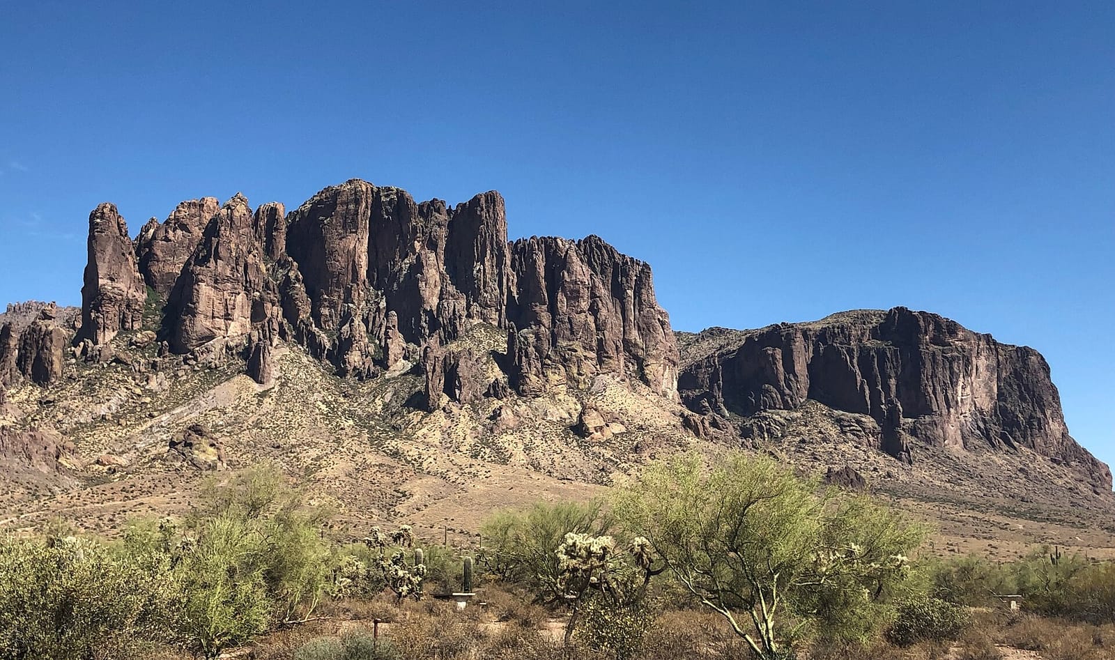 Reservable Lost Dutchman State Park
 - Agency
- State Park
- Sites
- 135
- Season
- Year-round
- Fee
- $50 electric, $35 non-electric, $25 rustic hike-in per night; extra vehicle $15
- Agency
- National Forest
- Sites
- 76
- Season
- October 1 to March 31
- Fee
- Single Site: $20 per night
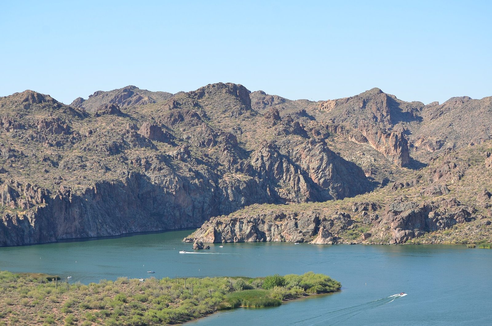 First-come Bagley Flat
 - Agency
- National Forest
- Sites
- Not on record
- Season
- Year-round
- Fee
- Free
- Agency
- National Forest
- Sites
- 3
- Season
- Year-round
- Fee
- Free
More campgrounds within 30 miles of Apache Junction
- Usery Mountain Regional Park Campground, 8 miles from Apache Junction in a straight line , County , reservable ($40/night developed site (2026 rate), plus a $10 reservation fee); listed under camping near Mesa.
- Larry Forbis Group Campground, 12 miles from Apache Junction in a straight line , National Forest , reservable (Group Site: $75 per night); listed under camping near Mesa.
- E.I. Rowland Campground, 24 miles from Apache Junction in a straight line , County , reservable ($40/night developed site (2026 rate), plus a $10 reservation fee); listed under camping near Fountain Hills.
- Ironwood Campground, 24 miles from Apache Junction in a straight line , County , reservable ($25/night semi-developed site (2026 rate), plus a $10 reservation fee); listed under camping near Fountain Hills.
- Apache Lake North Shore Boat Campground, 25 miles from Apache Junction in a straight line , National Forest , first-come (free); listed under camping near Tonto Basin.
- Burnt Corral Campground, 26 miles from Apache Junction in a straight line , National Forest , reservable (Single Site: $20 per night); listed under camping near Tonto Basin.
Things to do near Apache Junction
Public land and water within 30 miles of Apache Junction, the public land its campgrounds sit in, and landmarks at those campgrounds, nearest first.
- Superstition Mountains trails, at Lost Dutchman State Park (6.1 miles from Apache Junction): Trails from the campground lead into the Superstition Mountains and the Tonto National Forest, plus four miles of park mountain bike singletrack.
- Canyon Lake fishing, a fishing water whose mapped point is 13 miles from Apache Junction; stocking record and species on fishypedia.com.
- Saguaro Lake fishing, a fishing water whose mapped point is 13 miles from Apache Junction; stocking record and species on fishypedia.com.
- Saguaro Lake, a swimming hole whose mapped point is 13 miles from Apache Junction; swimming details on swimholesmap.com.
- Tonto National Forest, 3 of the 4 campgrounds here sit inside this national forest, the nearest Tortilla at 13 miles from Apache Junction; publiclandsdb.com has its dispersed-camping rule, ranger offices, and boundary.
- Superstition Wilderness, a wilderness area whose mapped point is 17 miles from Apache Junction; its permit and camping rules and boundary on publiclandsdb.com.
- Four Peaks Wilderness, a wilderness area whose mapped point is 19 miles from Apache Junction; its permit and camping rules and boundary on publiclandsdb.com.
- Apache Lake fishing, a fishing water whose mapped point is 21 miles from Apache Junction; stocking record and species on fishypedia.com.
- McFarland State Historic Park, a state park whose mapped point is 26 miles from Apache Junction; its hours, entrance fee, and boundary on publiclandsdb.com.
- Casa Grande Ruins National Monument, a National Park Service unit whose mapped point is 26 miles from Apache Junction; its entrance fees, current alerts and fire restrictions, and boundary on publiclandsdb.com.
Supplies and emergencies near Apache Junction
Nearest emergency room: Banner Goldfield Medical Center, 2050 W Southern Ave, Apache Junction, AZ, 1.7 miles from Apache Junction , (480) 733-3300. Next nearest: Honorhealth Four Peaks Medical Center, 1301 South Crismon Road, Mesa, AZ, 4.1 miles, (480) 358-6100. Both report emergency services in the CMS Hospital General Information dataset (accessed 2026-09-26) ; the location of Honorhealth Four Peaks Medical Center is from OpenStreetMap, the Census geocoder could not place its address. In an emergency, call 911.
- Groceries
-
- Chevron
- Circle K
- Circle K
- Fuel
-
- Chevron
- Circle K
- Chevron
- Propane
-
- Diamondback Propane
- Matheson Tri-Gas
- Ferrellgas
- RV dump station
-
- E. I. Rowland Campground
- Pharmacy
-
- Walgreens
- Walgreens
- CVS Pharmacy
- Laundromat
-
- Superstition Express Laundry
- The Laundry Place
- Lost Dutchman Laundry
Not mapped in OpenStreetMap within 25 miles of Apache Junction: potable water fill and ice. Stores, fuel, propane, dump stations, water fill, laundromats, and pharmacies are the nearest few mapped within 25 miles, straight-line, © OpenStreetMap contributors (data as of 2026-09-29; this extract under the ODbL). Hours are as mapped; call ahead.
Common questions
Where can I camp around Apache Junction, AZ?
Is there free camping near Apache Junction, AZ?
Where can I camp with an RV near Apache Junction, AZ?
Where can I camp near Apache Junction with drinking water?
Are there year-round campgrounds near Apache Junction, AZ?
Where can I camp near a lake around Apache Junction, AZ?
Where is the nearest emergency room to Apache Junction, AZ?
Every campground in the state: camping in Arizona ; by agency: National Forest campgrounds in Arizona and State Park campgrounds in Arizona ; by county: campgrounds in Maricopa and campgrounds in Pinal .