
Camping near Christopher Creek, Arizona
Camping near Christopher Creek, Arizona includes 5 public campgrounds on record, 4 first-come. All are run by the U.S. Forest Service. The nearest, Fr 9350, is 1.9 miles from Christopher Creek in a straight line, and all 5 are within 15 miles. 4 are free. Another 35 public campgrounds filed under nearby towns are within 30 miles of Christopher Creek.

Camping near Christopher Creek at a glance
- Public campgrounds
- 5 (5 National Forest)
- Getting a site
- 4 first-come
- Cost
- 4 free
- Distance from Christopher Creek
- 1.9 miles (Fr 9350) to 4.9 miles (Fr 169 Campground) in a straight line; 5 within 15 miles
- Elevation
- 7,577 ft (Fr 195) to 7,828 ft (Promontory Pit Road), 5 of 5 on record
- Season
- 4 seasonal with posted dates
- Drinking water
- 1 of 5
Distances are straight-line miles from Christopher Creek's point in the US Census Bureau Gazetteer (2025), not driving distances. Every other fact comes from each campground's own sourced record, linked from its page.
- Agency
- National Forest
- Sites
- Not on record
- Season
- May to November
- Fee
- Free
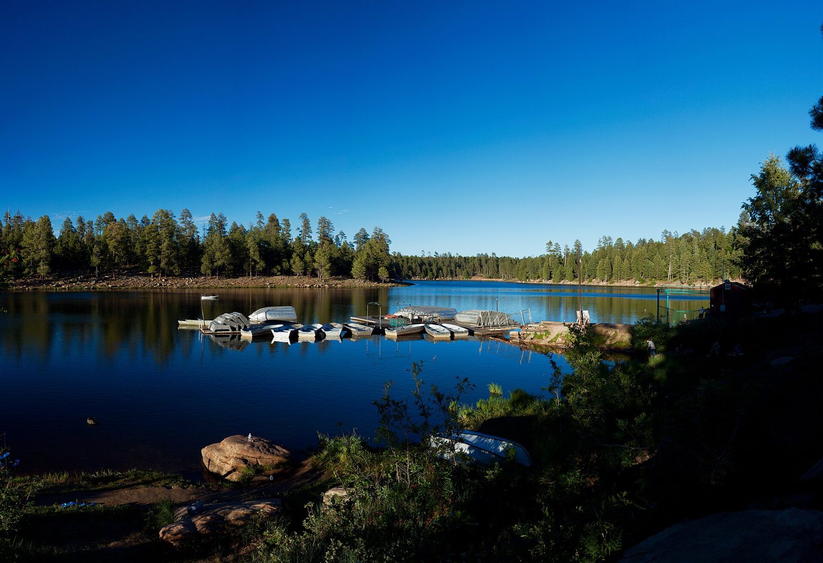 First-come Fr 195
 - Agency
- National Forest
- Sites
- Not on record
- Season
- May 1 to November
- Fee
- Free
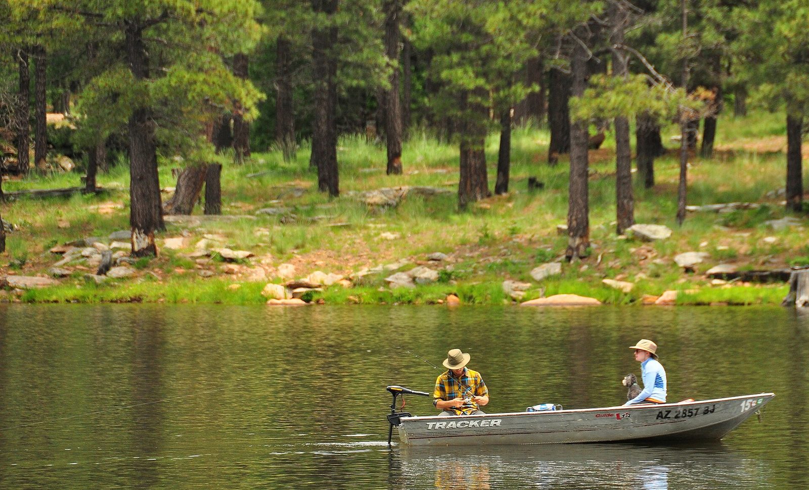 First-come Woods Canyon Group Campground
 - Agency
- National Forest
- Sites
- Not on record
- Season
- May 1 to Mid-October
- Fee
- Group site non-electric $275 per night, includes 120 people and 30 vehicles; $25/night family sites when not reserved
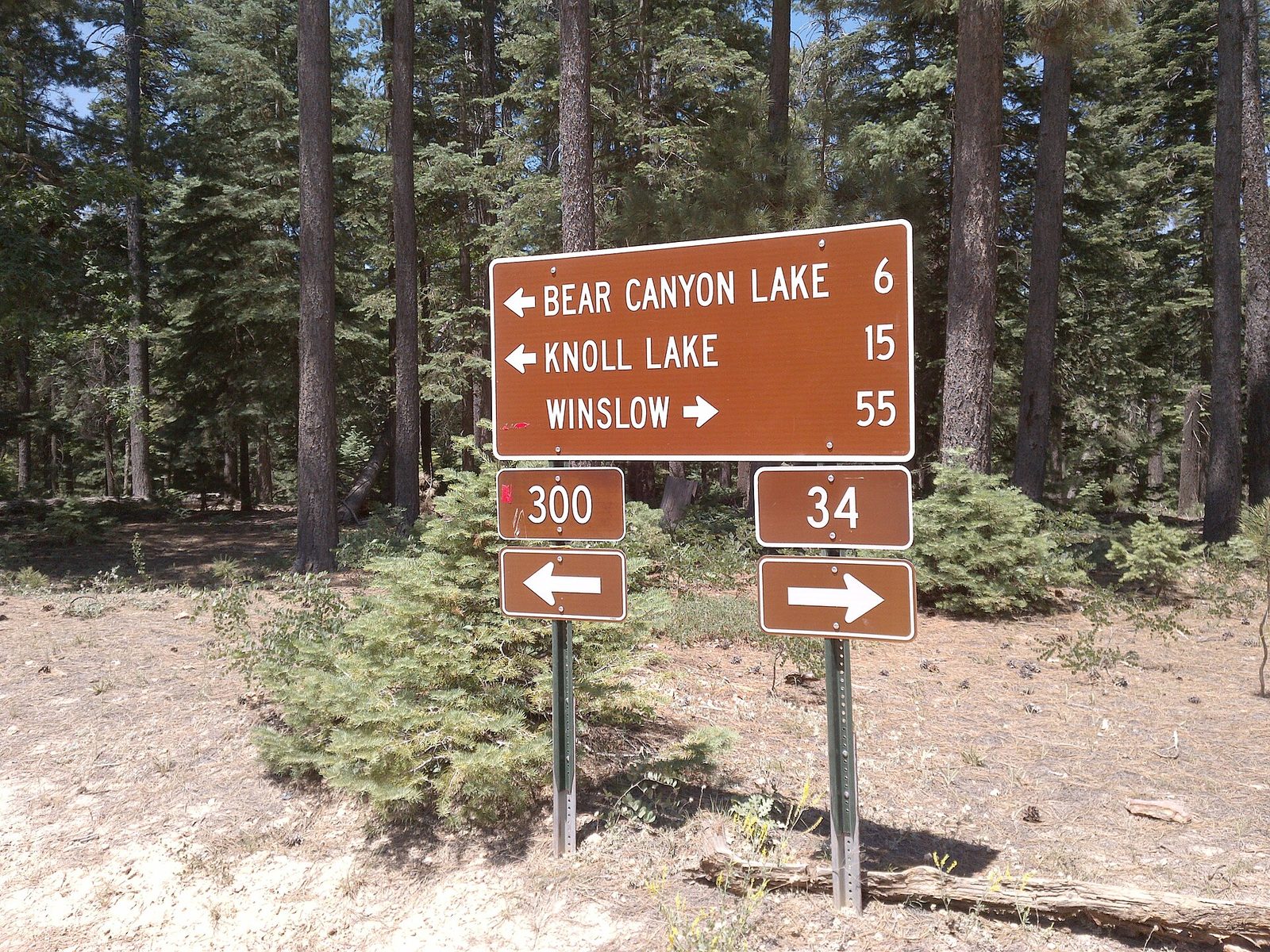 First-come Promontory Pit Road
 - Agency
- National Forest
- Sites
- Not on record
- Season
- Not on record
- Fee
- Free
- Agency
- National Forest
- Sites
- Not on record
- Season
- May 1 to November
- Fee
- Free
No campgrounds match.
More campgrounds within 30 miles of Christopher Creek
- Sharp Creek Campground, 1.3 miles from Christopher Creek in a straight line , National Forest , reservable (Single Site: $29 per night; Group Site: $150 per night); listed under camping near Star Valley.
- Sharp Creek Group, 1.3 miles from Christopher Creek in a straight line , National Forest , reservable (Group Site: $150 per night); listed under camping near Star Valley.
- Christopher Creek Campground, 1.9 miles from Christopher Creek in a straight line , National Forest , reservable (Overnight Use:); listed under camping near Star Valley.
- Christopher Creek Group, 1.9 miles from Christopher Creek in a straight line , National Forest , reservable (Group site: $80 per night); listed under camping near Star Valley.
- Mogollon Campground, 2.9 miles from Christopher Creek in a straight line , National Forest , reservable (Single Site: $18 per night); listed under camping near Payson.
- Aspen Campground, 3.5 miles from Christopher Creek in a straight line , National Forest , reservable (Single Site: $35 per night); listed under camping near Payson.
- Crook Campground, 3.7 miles from Christopher Creek in a straight line , National Forest , reservable (Single Site: $25 per night); listed under camping near Payson.
- Spillway Group Campground, 3.9 miles from Christopher Creek in a straight line , National Forest , first-come (Group site non-electric $185 per night, includes 25 people and six vehicles); listed under camping near Payson.
- Spillway Campground, 4.1 miles from Christopher Creek in a straight line , National Forest , reservable (Single Site: $36 per night; $12 per additional vehicle); listed under camping near Payson.
- Lower Tonto Creek, 5 miles from Christopher Creek in a straight line , National Forest , reservable (Single Site: $20 per night); listed under camping near Star Valley.
- Upper Tonto Creek, 5.1 miles from Christopher Creek in a straight line , National Forest , reservable (Single Site: $20 per night); listed under camping near Star Valley.
- Rim Campground, 5.7 miles from Christopher Creek in a straight line , National Forest , reservable (Single Site: $18 per night; $12 per additional vehicle); listed under camping near Payson.
- Ponderosa Campground, 6.3 miles from Christopher Creek in a straight line , National Forest , reservable (Single Site: $22 per night; Group Site: $100 per night); listed under camping near Star Valley.
- Ponderosa Group, 6.3 miles from Christopher Creek in a straight line , National Forest , reservable (Group Site: $100 per night); listed under camping near Star Valley.
- Sinkhole Campground, 7 miles from Christopher Creek in a straight line , National Forest , reservable (Single Site: $25 per night; $12 per additional vehicle); listed under camping near Payson.
- Haigler Canyon, 7.4 miles from Christopher Creek in a straight line , National Forest , first-come (free); listed under camping near Young.
- Fr 171, 8.2 miles from Christopher Creek in a straight line , National Forest , first-come (free); listed under camping near Forest Lakes.
- Knoll Lake, 8.8 miles from Christopher Creek in a straight line , National Forest , first-come (Single Site: $20 per night (up to 8 people and 2 vehicles)); listed under camping near Payson.
- Colcord Ridge, 10 miles from Christopher Creek in a straight line , National Forest , first-come (free); listed under camping near Payson.
- Canyon Point Campground, 11 miles from Christopher Creek in a straight line , National Forest , reservable (Single Site: $38 per night (up to 8 people and 1 vehicle)); listed under camping near Payson.
- Airplane Flat, 12 miles from Christopher Creek in a straight line , National Forest , first-come (free); listed under camping near Payson.
- Upper Canyon Creek, 12 miles from Christopher Creek in a straight line , National Forest , first-come (free); listed under camping near Payson.
- Black Canyon Rim Campground, 15 miles from Christopher Creek in a straight line , National Forest , reservable (Single Site: $20 per night (up to 8 people and 1 vehicle)); listed under camping near Forest Lakes.
- Chevelon Canyon Lake Campground, 16 miles from Christopher Creek in a straight line , National Forest , first-come (free); listed under camping near Heber-Overgaard.
- Gentry Campground, 17 miles from Christopher Creek in a straight line , National Forest , reservable (Single Site $18 per night; Group Site $90 per night (up to 50 people and 6 vehicles)); listed under camping near Payson.
- Houston Mesa Group, 18 miles from Christopher Creek in a straight line , National Forest , reservable (Group Site with electric hook-up: $170 per night); listed under camping near Payson.
- Houston Mesa Campground, 18 miles from Christopher Creek in a straight line , National Forest , reservable (Single Site: $29 per night); listed under camping near Payson.
- Kehl Springs, 19 miles from Christopher Creek in a straight line , National Forest , first-come (Single Site: $8 per night); listed under camping near Washington Park.
- Rock Crossing, 21 miles from Christopher Creek in a straight line , National Forest , reservable (Single Site: $20 per night (8 people, 2 vehicles); Double Site: $40 (16 people, 4 vehicles)); listed under camping near Blue Ridge.
- Blue Ridge, 22 miles from Christopher Creek in a straight line , National Forest , first-come ($20 per night.); listed under camping near Blue Ridge.
- Moqui Group Campground, 22 miles from Christopher Creek in a straight line , National Forest , reservable (Group Site: $85 per night (up to 50 people)); listed under camping near Blue Ridge.
- Chevelon Crossing Campground, 23 miles from Christopher Creek in a straight line , National Forest , first-come (free); listed under camping near Heber-Overgaard.
- Long Valley Group Campground, 23 miles from Christopher Creek in a straight line , National Forest , reservable (Overnight Use:); listed under camping near Payson.
- Clints Well, 24 miles from Christopher Creek in a straight line , National Forest , first-come (Single Site: $8 per night (up to 8 people and 2 vehicles)); listed under camping near Washington Park.
- Elks Group Campground, 27 miles from Christopher Creek in a straight line , National Forest , reservable (Overnight Use:); listed under camping near Blue Ridge.
Things to do near Christopher Creek
Public land and water within 30 miles of Christopher Creek, the public land its campgrounds sit in, and landmarks at those campgrounds, nearest first.
- Apache-Sitgreaves National Forests, all 5 campgrounds here sit inside this national forest, the nearest Fr 9350 at 1.9 miles from Christopher Creek; publiclandsdb.com has its dispersed-camping rule, ranger offices, and boundary.
- Mogollon Rim, at Fr 9350 (1.9 miles from Christopher Creek): Popular dispersed camping area with rim-side campsites on the edge of the Mogollon Rim; not recommended for families with small children because of the escarpment.
- Trail to Woods Canyon Lake, at Fr 195 (3.2 miles from Christopher Creek): A half-mile trail leads from the camping area to the west shore of Woods Canyon Lake.
- Woods Canyon Lake, at Woods Canyon Group Campground (3.9 miles from Christopher Creek): A scenic 52-acre lake a short walk away, with electric-motor-only boating, fishing and an interpretive nature trail at its north end.
- Hellsgate Wilderness, a wilderness area whose mapped point is 16 miles from Christopher Creek; its permit and camping rules and boundary on publiclandsdb.com.
- Waterwheel Falls, a waterfall whose mapped point is 16 miles from Christopher Creek; details on the falls on swimholesmap.com.
- C.C. Cragin Reservoir water level, a reservoir whose mapped point is 19 miles from Christopher Creek; current water level on reservoirfinder.com.
Supplies and emergencies near Christopher Creek
Nearest emergency room: Little Colorado Medical Center, 1501 N Williamson Ave, Winslow, AZ, 53 miles from Christopher Creek , (928) 289-4691. Next nearest: Cobre Valley Regional Medical Center, 5880 South Hospital Drive, Globe, AZ, 64 miles, (928) 402-1122. Both report emergency services in the CMS Hospital General Information dataset (accessed 2026-09-26) ; the location of Cobre Valley Regional Medical Center is from OpenStreetMap, the Census geocoder could not place its address. In an emergency, call 911.
- Groceries
-
- Woods Canyon Store
- Forest Lakes General Store
- Circle K
- Fuel
-
- Circle K
- Speedway
- Speedway
- RV dump station
-
- Aspen Campground
- Woods Canyon Dump Station
- Canyon Point Campground
- Potable water fill
-
- Aspen Campground
- Heber Water Company
- Pharmacy
-
- Walgreens
Not mapped in OpenStreetMap within 25 miles of Christopher Creek: propane, laundromat, and ice. Stores, fuel, propane, dump stations, water fill, laundromats, and pharmacies are the nearest few mapped within 25 miles, straight-line, © OpenStreetMap contributors (data as of 2026-09-29; this extract under the ODbL). Hours are as mapped; call ahead.
Common questions
Where can I camp around Christopher Creek, AZ?
Is there free camping near Christopher Creek, AZ?
Where can I camp near Christopher Creek with drinking water?
When is camping season near Christopher Creek, AZ?
Where is the nearest emergency room to Christopher Creek, AZ?
Every campground in the state: camping in Arizona ; by agency: National Forest campgrounds in Arizona ; by county: campgrounds in Coconino .