
Camping near Gila Bend, Arizona
Camping near Gila Bend, Arizona includes 3 public campgrounds on record, 2 first-come. All are run by the Bureau of Land Management. The nearest, Margies Cove West Campground, is 14 miles from Gila Bend in a straight line, and 1 of 3 is within 15 miles. 2 are free, and 1 stays open all year.
noindex Fewer than 5 campgrounds here clear the indexable bar yet, so this page stays noindex.
Camping near Gila Bend at a glance
- Public campgrounds
- 3 (3 BLM)
- Getting a site
- 2 first-come
- Cost
- 2 free; lowest posted fee at Painted Rock Petroglyph Campground: "$8 per vehicle per night (standard, accessible and group sites)"
- Distance from Gila Bend
- 14 miles (Margies Cove West Campground) to 20 miles (Painted Rock Petroglyph Campground) in a straight line; 1 within 15 miles
- Elevation
- 586 ft (Painted Rock Petroglyph Campground) to 1,529 ft (Estrella Wayside Recreation Area), 3 of 3 on record
- Season
- 1 open all year
- Campsites
- 69 across the 3 campgrounds that state a count
Distances are straight-line miles from Gila Bend's point in the US Census Bureau Gazetteer (2025), not driving distances. Every other fact comes from each campground's own sourced record, linked from its page.
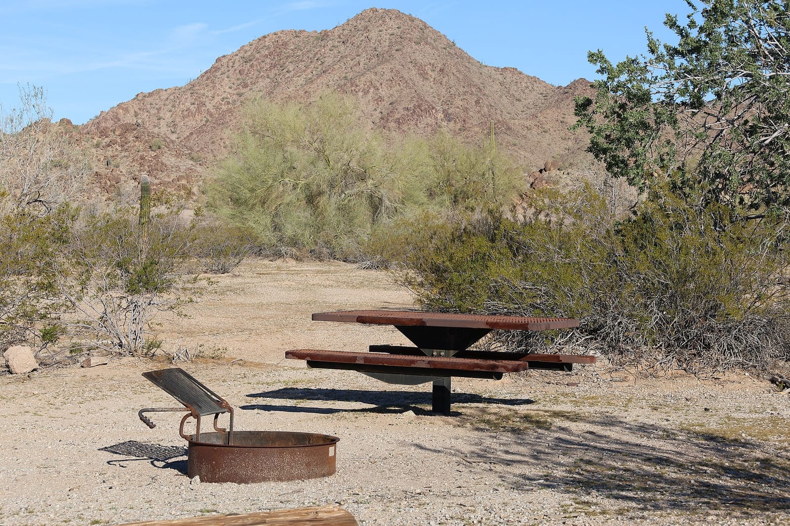 Not on record Margies Cove West Campground
 - Agency
- BLM
- Sites
- 3
- Season
- Not on record
- Fee
- Free
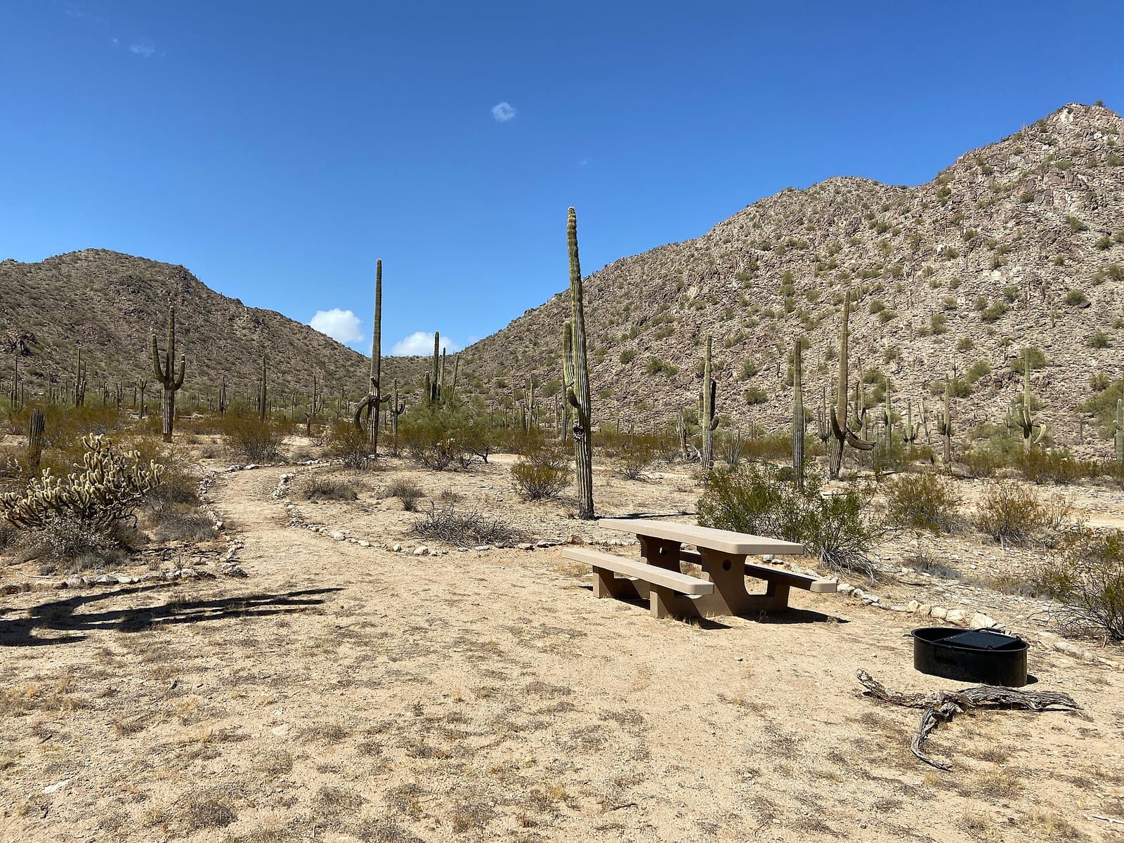 First-come Estrella Wayside Recreation Area
 - Agency
- BLM
- Sites
- 4
- Season
- Year-round
- Fee
- Free
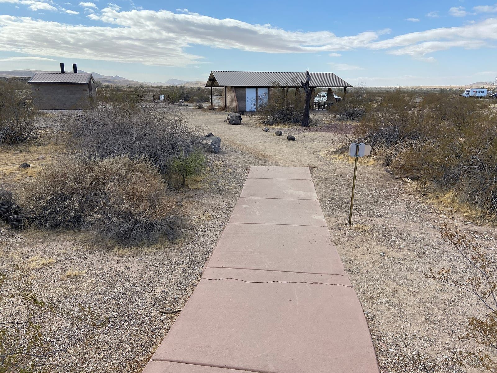 First-come Painted Rock Petroglyph Campground
 - Agency
- BLM
- Sites
- 62
- Season
- Not on record
- Fee
- $8 per vehicle per night (standard, accessible and group sites)
Things to do near Gila Bend
Public land and water within 30 miles of Gila Bend, the public land its campgrounds sit in, and landmarks at those campgrounds, nearest first.
- Sonoran Desert National Monument, 2 of the 3 campgrounds here sit inside this BLM unit, the nearest Margies Cove West Campground at 14 miles from Gila Bend; publiclandsdb.com has its camping rule, field office, and boundary.
- North Maricopa Mountains Wilderness, a wilderness area whose mapped point is 15 miles from Gila Bend; its permit and camping rules and boundary on publiclandsdb.com.
- Woolsey Peak Wilderness, a wilderness area whose mapped point is 16 miles from Gila Bend; its permit and camping rules and boundary on publiclandsdb.com.
- Juan Bautista de Anza National Historic Trail, at Estrella Wayside Recreation Area (17 miles from Gila Bend): Route 8003, about 4.3 miles north of Maricopa Road along route 8002, follows the path of the Juan Bautista de Anza National Historic Trail (high clearance required).
- South Maricopa Mountains Wilderness, a wilderness area whose mapped point is 18 miles from Gila Bend; its permit and camping rules and boundary on publiclandsdb.com.
- Painted Rock petroglyphs, at Painted Rock Petroglyph Campground (20 miles from Gila Bend): Next to the campground, hundreds of figures and designs carved centuries ago by Indigenous peoples cover the basalt boulders of two small hills; a short interpretive trail circles the site.
- Signal Mountain Wilderness, a wilderness area whose mapped point is 22 miles from Gila Bend; its permit and camping rules and boundary on publiclandsdb.com.
Supplies and emergencies near Gila Bend
Nearest emergency room: Abrazo West Campus, 13677 W Mcdowell Rd, Goodyear, AZ, 40 miles from Gila Bend , (623) 882-1970. Next nearest: Banner Estrella Medical Center, 9201 West Thomas Road, Phoenix, AZ, 44 miles, (623) 327-4000. Both report emergency services in the CMS Hospital General Information dataset (accessed 2026-09-26) ; the location of Banner Estrella Medical Center is from OpenStreetMap, the Census geocoder could not place its address. In an emergency, call 911.
- Groceries
-
- Shell
- Gilla Bend Food Market
- Super K
- Fuel
-
- One 9 Fuel Stop
- Shell
- Chevron
- Laundromat
-
- San Lucy Laundromat
Not mapped in OpenStreetMap within 25 miles of Gila Bend: propane, RV dump station, potable water fill, pharmacy, and ice. Stores, fuel, propane, dump stations, water fill, laundromats, and pharmacies are the nearest few mapped within 25 miles, straight-line, © OpenStreetMap contributors (data as of 2026-09-29; this extract under the ODbL). Hours are as mapped; call ahead.
Common questions
Where can I camp around Gila Bend, AZ?
Is there free camping near Gila Bend, AZ?
Are there year-round campgrounds near Gila Bend, AZ?
Where is the nearest emergency room to Gila Bend, AZ?
Every campground in the state: camping in Arizona ; by agency: BLM campgrounds in Arizona ; by county: campgrounds in Maricopa .