
Camping near Littlefield, Arizona
Camping near Littlefield, Arizona includes 1 public campground on record, 1 reservable. All are run by the Bureau of Land Management.
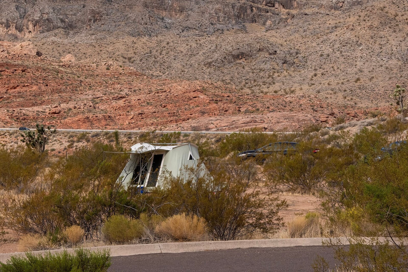
noindex Fewer than 5 campgrounds here clear the indexable bar yet, so this page stays noindex.
Camping near Littlefield at a glance
- Public campgrounds
- 1 (1 BLM)
- Getting a site
- 1 reservable
- Cost
- Lowest posted fee at Virgin River Canyon Recreation Area: "$8/night per site (up to two vehicles); day use $2/vehicle; 50% off with Senior or Access pass"
- Distance from Littlefield
- 9.8 miles in a straight line
- Elevation
- 2,262 ft at Virgin River Canyon Recreation Area (the only one on record)
- Campsites
- 108 across the 1 campground that state a count
- RVs
- 1 take RVs; no hookups on record; longest stated RV length 130 ft (Virgin River Canyon Recreation Area)
- Drinking water
- 1 of 1
Distances are straight-line miles from Littlefield's point in the US Census Bureau Gazetteer (2025), not driving distances. Every other fact comes from each campground's own sourced record, linked from its page.
Things to do near Littlefield
Public land and water within 30 miles of Littlefield, the public land its campgrounds sit in, and landmarks at those campgrounds, nearest first.
- Mesquite Pond fishing, a fishing water whose mapped point is 9.2 miles from Littlefield; stocking record and species on fishypedia.com.
- Virgin River Gorge, at Virgin River Canyon Recreation Area (9.8 miles from Littlefield): The Virgin River drops an average of 70 feet per mile through the gorge, about 10 times steeper than the Colorado River through the Grand Canyon. A 0.1-mile trail from the lower loop reaches the river.
- Beaver Dam Mountains Wilderness, a wilderness area whose mapped point is 11 miles from Littlefield; its permit and camping rules and boundary on publiclandsdb.com.
- Paiute Wilderness, a wilderness area whose mapped point is 12 miles from Littlefield; its permit and camping rules and boundary on publiclandsdb.com.
- Beaver Dam Mountains Wilderness, a wilderness area whose mapped point is 12 miles from Littlefield; its permit and camping rules and boundary on publiclandsdb.com.
- Beaver Dam Wash National Conservation Area, a BLM unit whose mapped point is 12 miles from Littlefield; its camping rule, field office, and boundary on publiclandsdb.com.
- Beaver Dam Wash National Conservation Area, a BLM unit whose mapped point is 15 miles from Littlefield; its camping rule, field office, and boundary on publiclandsdb.com.
- Gunlock Reservoir, a swimming hole whose mapped point is 28 miles from Littlefield; swimming details on swimholesmap.com.
- Sand Hollow Reservoir fishing, a fishing water whose mapped point is 28 miles from Littlefield; stocking record and species on fishypedia.com.
- Gunlock State Park, a state park whose mapped point is 29 miles from Littlefield; its hours, entrance fee, and boundary on publiclandsdb.com.
Supplies and emergencies near Littlefield
Nearest emergency room: Mesa View Regional Hospital, 1299 Bertha Howe Ave, Mesquite, NV, 11 miles from Littlefield , (702) 345-4280. Next nearest: St. George Regional Hospital, 1380 East Medical Center Drive, St George, UT, 27 miles, (435) 251-2100. Both report emergency services in the CMS Hospital General Information dataset (accessed 2026-09-26) ; the location of St. George Regional Hospital is from OpenStreetMap, the Census geocoder could not place its address. In an emergency, call 911.
- Groceries
-
- TA
- Eagles Landing Travel Plaza
- Virgin Valley Food Mart
- Fuel
-
- Sunoco
- Pilot Truck Lanes
- Pilot
- RV dump station
-
- Orchard RV Park
- Desert Skies RV Resort
- CasaBlanca Resort & Casino RV Park
- Potable water fill
-
- Hidden Springs RV Resort
- Pharmacy
-
- Smith's Pharmacy
- Deep Roots Harvest
- Walgreens
Not mapped in OpenStreetMap within 25 miles of Littlefield: propane, laundromat, and ice. Stores, fuel, propane, dump stations, water fill, laundromats, and pharmacies are the nearest few mapped within 25 miles, straight-line, © OpenStreetMap contributors (data as of 2026-09-29; this extract under the ODbL). Hours are as mapped; call ahead.
Common questions
Where can I camp around Littlefield, AZ?
Is there free camping near Littlefield, AZ?
Where can I camp with an RV near Littlefield, AZ?
Where can I go tent camping near Littlefield, AZ?
Where can I camp near Littlefield with drinking water?
Where is the nearest emergency room to Littlefield, AZ?
Every campground in the state: camping in Arizona ; by agency: BLM campgrounds in Arizona ; by county: campgrounds in Mohave .