
Camping near Picacho, Arizona
Camping near Picacho, Arizona includes 1 public campground on record, 1 reservable. All are run by the state park system. 1 stays open all year.
noindex Fewer than 5 campgrounds here clear the indexable bar yet, so this page stays noindex.
Camping near Picacho at a glance
- Public campgrounds
- 1 (1 State Park)
- Getting a site
- 1 reservable
- Cost
- Lowest posted fee at Picacho Peak State Park: "$50/night electric; $25 rustic (October to April 15); extra vehicle $15"
- Distance from Picacho
- 5.9 miles in a straight line
- Elevation
- 1,808 ft at Picacho Peak State Park (the only one on record)
- Season
- 1 open all year
- Campsites
- 78 across the 1 campground that state a count
- RVs
- 1 take RVs; hookups at Picacho Peak State Park
Distances are straight-line miles from Picacho's point in the US Census Bureau Gazetteer (2025), not driving distances. Every other fact comes from each campground's own sourced record, linked from its page.
Things to do near Picacho
Public land and water within 30 miles of Picacho, the public land its campgrounds sit in, and landmarks at those campgrounds, nearest first.
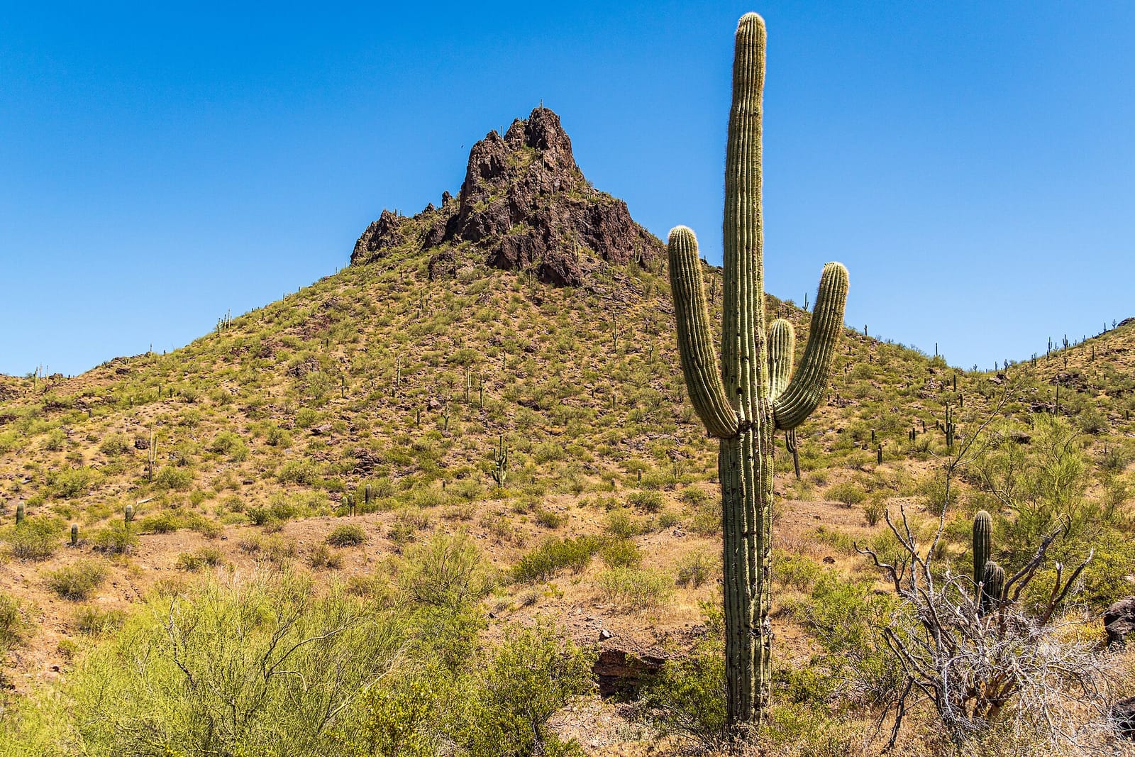
- Hunter Trail to Picacho Peak, at Picacho Peak State Park (5.9 miles from Picacho): The Hunter Trail climbs Picacho Peak from the park, and the park is looking into formal International Dark Sky Park designation.
- Picacho Peak State Park, its campground is 5.9 miles from Picacho; publiclandsdb.com has its hours, entrance fee, and boundary.
- Ironwood Forest National Monument, a BLM unit whose mapped point is 16 miles from Picacho; its camping rule, field office, and boundary on publiclandsdb.com.
- Casa Grande Ruins National Monument, a National Park Service unit whose mapped point is 20 miles from Picacho; its entrance fees, current alerts and fire restrictions, and boundary on publiclandsdb.com.
- McFarland State Historic Park, a state park whose mapped point is 23 miles from Picacho; its hours, entrance fee, and boundary on publiclandsdb.com.
Supplies and emergencies near Picacho
Nearest emergency room: Banner Casa Grande Medical Center, 1800 E Florence Blvd, Casa Grande, AZ, 17 miles from Picacho , (520) 381-6300. Next nearest: Banner Ironwood Medical Center, 37000 N Gantzel Rd, Queen Creek, AZ, 35 miles, (480) 394-4000. Both report emergency services in the CMS Hospital General Information dataset (accessed 2026-09-26) . In an emergency, call 911.
- Groceries
-
- Flying J Store
- Pilot
- Foodtown IGA
- Fuel
-
- Flying J
- Pilot
- Shell
- Pharmacy
-
- Walgreens
- CVS Pharmacy
- Walgreens
- Laundromat
-
- Coolidge Laundry
Not mapped in OpenStreetMap within 25 miles of Picacho: propane, RV dump station, potable water fill, and ice. Stores, fuel, propane, dump stations, water fill, laundromats, and pharmacies are the nearest few mapped within 25 miles, straight-line, © OpenStreetMap contributors (data as of 2026-09-29; this extract under the ODbL). Hours are as mapped; call ahead.
Common questions
Where can I camp around Picacho, AZ?
Is there free camping near Picacho, AZ?
Where can I camp with an RV near Picacho, AZ?
Are there year-round campgrounds near Picacho, AZ?
Where is the nearest emergency room to Picacho, AZ?
Every campground in the state: camping in Arizona ; by agency: State Park campgrounds in Arizona ; by county: campgrounds in Pinal .