
Skillet Creek
Its 2 sites are first-come, first-served (no reservations), and camping is free. Skillet Creek is a National Forest campground near Canyonville, Oregon.
First-come, first-served

- Managed by
- National Forest
Skillet Creek sits inside Umpqua National Forest. Its dispersed-camping rule, ranger offices, and boundary are on publiclandsdb.com.
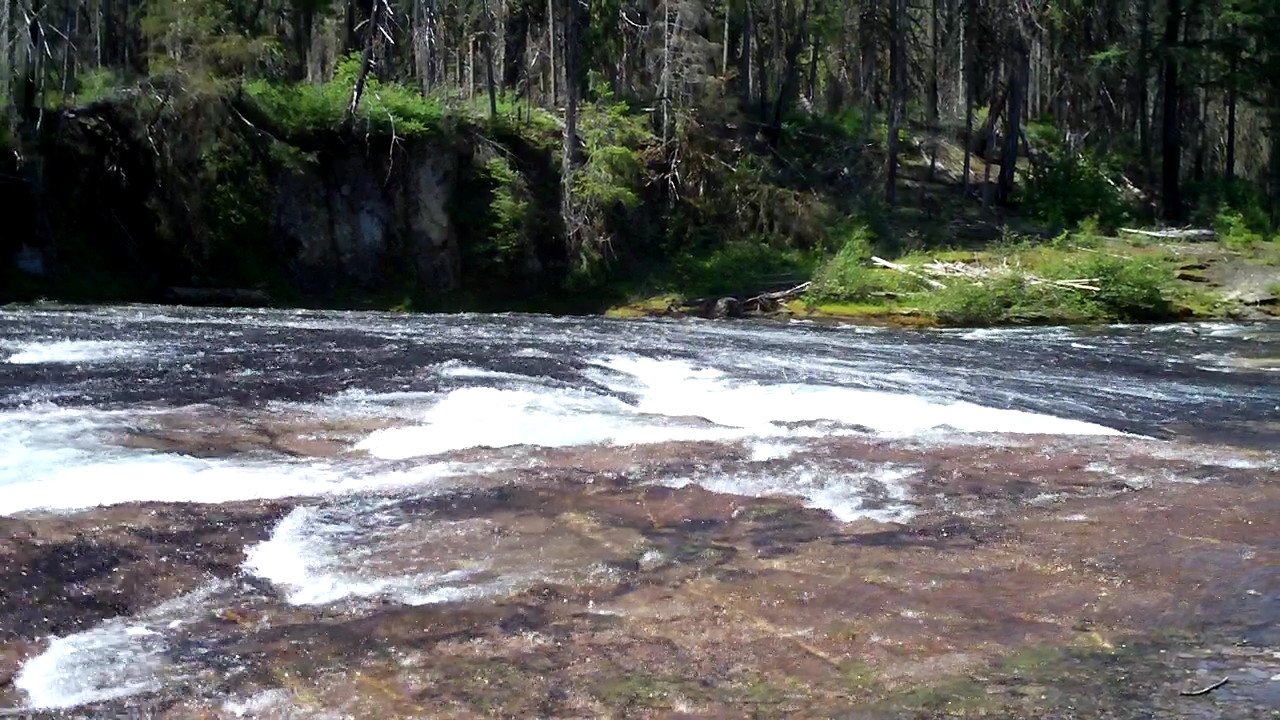
South Umpqua River swimming: Two rustic sites on the upper South Umpqua River with easy river access for swimming, close to the South Umpqua Falls Day Use Area.
Getting a site
- Managed by
- National Forest
- Reservations
- None, first-come
- Fee
- Free
Sites and hookups
- Total sites
- 2
- ✓ Toilets
- ✕ Potable water
On site: Toilets. No potable water.
Source: apps.fs.usda.gov, accessed 2026-09-28
Access and cell service
- Elevation
- 1,878 ft
43.0917, -122.6202 in Douglas. Open in OpenStreetMap. Map © OpenStreetMap contributors.
Common questions
Do you need a reservation at Skillet Creek?
How much does it cost to camp at Skillet Creek?
How many campsites does Skillet Creek have?
Is there drinking water at Skillet Creek?
Is there cell service at Skillet Creek?
Who manages Skillet Creek?
Around Skillet Creek
Hot springs and waterfalls nearby
Nearest to Skillet Creek, in straight-line miles: Toketee Falls (waterfall, 15 miles), Watson Falls (waterfall, 16 miles), and Umpqua Hot Springs (hot spring, 19 miles). Each has its own page on swimholesmap.com.
More campgrounds: camping near Canyonville and campgrounds in Douglas.
Sources
- apps.fs.usda.gov (all, sites, notableFeature), accessed 2026-09-28
- epqs.nationalmap.gov (elevationFt), accessed 2026-09-29
- broadbandmap.fcc.gov (cellCoverage), accessed 2026-09-27