
Shellrock Creek
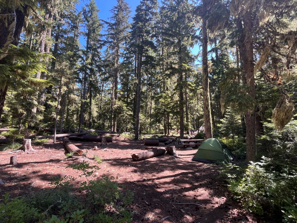
Its sites are first-come, first-served (no reservations), camping costs Single Site: $23 per night; additional vehicle $8 per night, and it is open from May 23 to September 30. Shellrock Creek is a National Forest campground near Estacada, Oregon.
First-come, first-served

- Managed by
- National Forest
- Max RV length
- 16 ft
Shellrock Creek sits inside Mt. Hood National Forest. Its dispersed-camping rule, ranger offices, and boundary are on publiclandsdb.com.
Getting a site
- Managed by
- National Forest
- Reservations
- None, first-come
- Fee
- Single Site: $23 per night; additional vehicle $8 per night
Source: fs.usda.gov, accessed 2026-09-29
Sites and hookups
- Max RV length
- 16 ft
- ✕ Potable water
- ✕ Toilets
No potable water and no toilets.
Source: fs.usda.gov, accessed 2026-09-29
Access and cell service
- Elevation
- 2,317 ft
45.0843, -121.9211 in Clackamas. Open in OpenStreetMap. Map © OpenStreetMap contributors.
Season and winter services
Shellrock Creek is open from May 23 to September 30 , at 2,317 ft.
Sources: epqs.nationalmap.gov, accessed 2026-09-29; fs.usda.gov, accessed 2026-09-29
Common questions
Do you need a reservation at Shellrock Creek?
How much does it cost to camp at Shellrock Creek?
Is there drinking water at Shellrock Creek?
When is Shellrock Creek open?
Is there cell service at Shellrock Creek?
Who manages Shellrock Creek?
Around Shellrock Creek
Public land within 15 miles: Roaring River Wilderness (7.7 miles to its center) , Salmon-Huckleberry Wilderness (11 miles to its center) , and Clackamas Wilderness (13 miles to its center) ; publiclandsdb.com has each unit's camping rules and boundary.
Hot springs and swimming nearby
Nearest to Shellrock Creek, in straight-line miles: Bagby Hot Springs (hot spring, 16 miles), Breitenbush Hot Springs (hot spring, 21 miles), and Opal Creek / Little North Santiam (swimming hole, 23 miles). Each has its own page on swimholesmap.com.
More campgrounds: camping near Estacada and campgrounds in Clackamas.
Sources
- apps.fs.usda.gov (all fields), accessed 2026-09-28
- epqs.nationalmap.gov (elevationFt), accessed 2026-09-29
- broadbandmap.fcc.gov (cellCoverage), accessed 2026-09-27
- fs.usda.gov (season, maxRvLengthFt, fee, toilets, water), accessed 2026-09-29