
Old Miner's Meadow Group Use Area
Its 1 site is reservable through Recreation.gov, and camping costs $100 per night up to 50 people; $2 per additional person per night. Old Miner's Meadow Group Use Area is a BLM campground near Gates, Oregon.
Reservable: Recreation.gov
 1 / 3
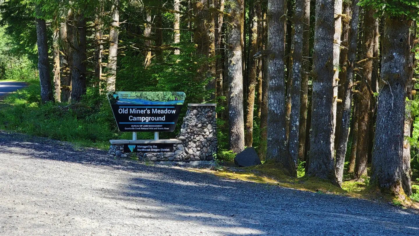
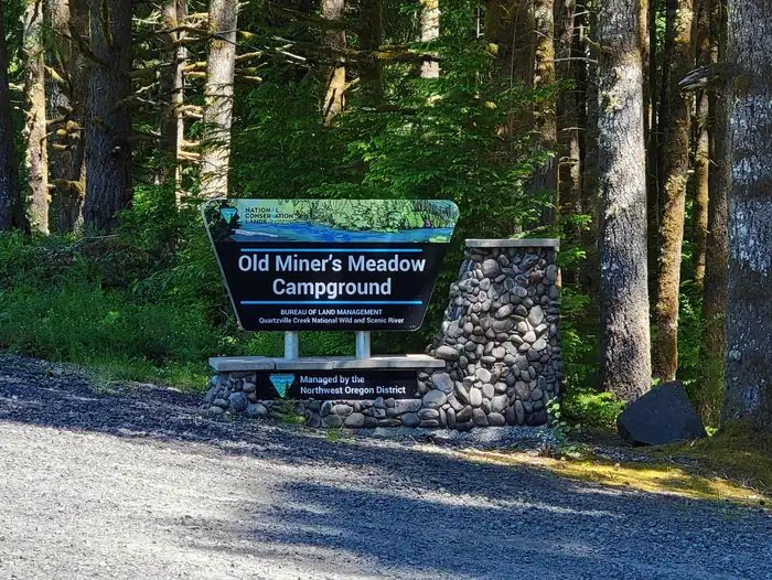
1 / 3Old Miner's Meadow Group Campground portal sign. Photo: Marcella Lang - BLM, via Recreation.gov, Public domain (US federal government work)
- Managed by
- BLM
- Shade
- Some shade
It sits 0.7 miles outside the boundary of Willamette National Forest; its dispersed-camping rule, ranger offices, and boundary are on publiclandsdb.com.
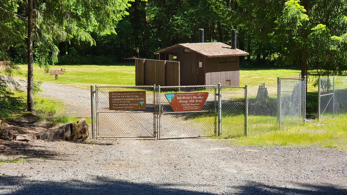
Quartzville Creek Wild and Scenic River: The fenced two-acre meadow sits on Quartzville Creek, a National Wild and Scenic River popular for gold panning and kayaking, upstream of Green Peter Reservoir. (blm.gov)
Getting a site
- Managed by
- BLM
- Reservations
- Recreation.gov Book a site
- Fee
- $100 per night up to 50 people; $2 per additional person per night
- Cancellations
- Standard fees apply and are non-refundable (Recreation.gov rules).
Sources: recreation.gov, accessed 2026-09-29; blm.gov, accessed 2026-09-29
Sites and hookups
- Total sites
- 1
- Group sites
- 1
- Group site capacity
- Up to 50 people
- ✓ Toilets
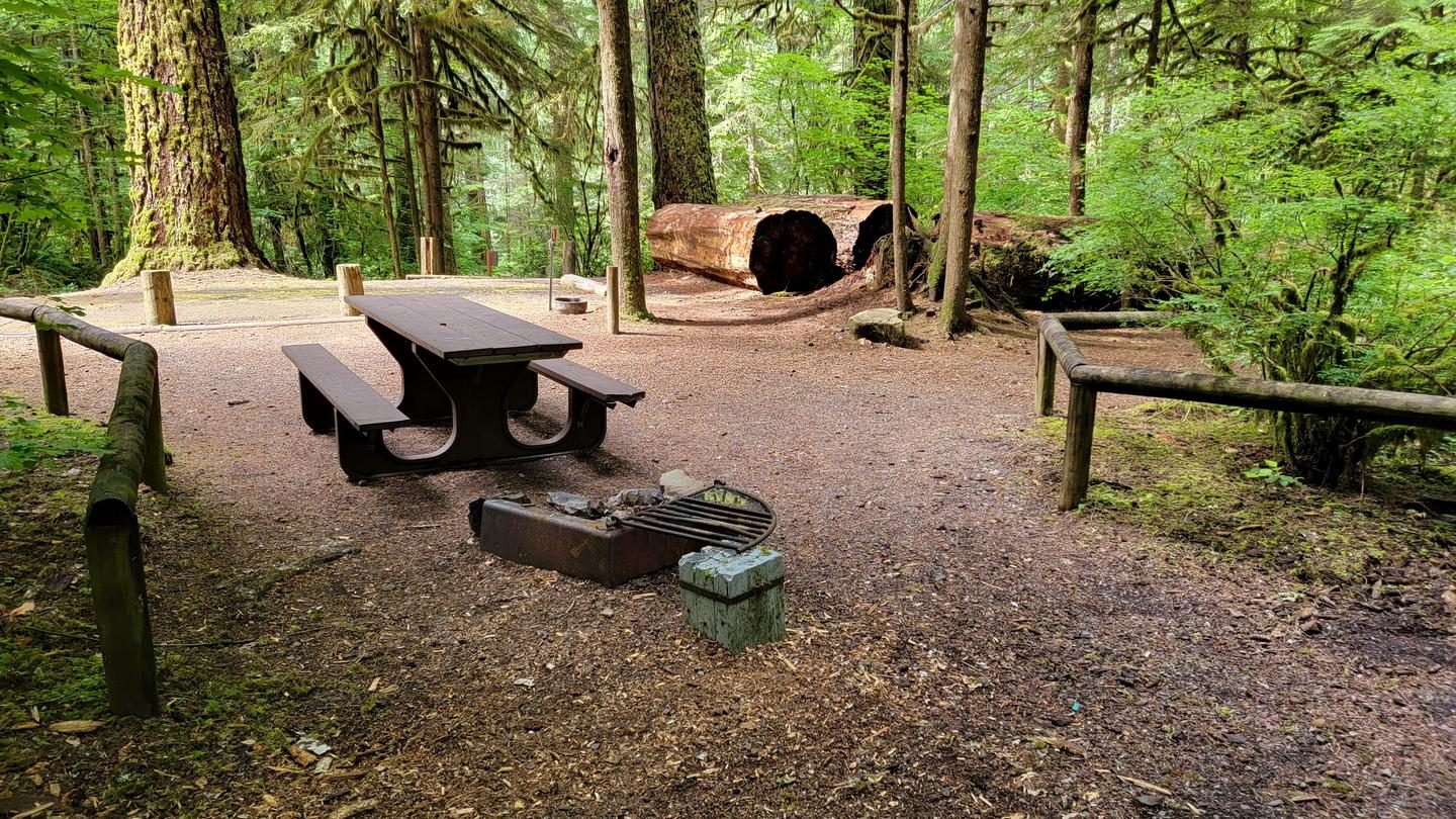
- ✓ Fire rings
- ✕ Potable water
On site: Toilets and fire rings. No potable water.
Sources: recreation.gov, accessed 2026-09-29; blm.gov, accessed 2026-09-29
Campsites
1 site. Every site below links to its own page on Recreation.gov, where it is booked. Official site list and booking on recreation.gov.
| Book | ||||||||
|---|---|---|---|---|---|---|---|---|
| 001 | Old Miner's Meadow Group Site | Group standard area nonelectric | Not on record | Not on record | Not on record | No | Yes | Book site 001 |
Data source: Recreation.gov , accessed 2026-09-29. Site details are Recreation.gov's own per-site listing and can differ from the campground-wide facts above.
Rules
- Campground host
- None
Source: blm.gov, accessed 2026-09-29
Access and cell service
- Shade
- Some shade
- Elevation
- 1,460 ft
44.5858, -122.3508 in Linn. Open in OpenStreetMap. Map © OpenStreetMap contributors.
Common questions
Do you need a reservation at Old Miner's Meadow Group Use Area?
How much does it cost to camp at Old Miner's Meadow Group Use Area?
What happens if I cancel or don't show up at Old Miner's Meadow Group Use Area?
How many campsites does Old Miner's Meadow Group Use Area have?
Is there drinking water at Old Miner's Meadow Group Use Area?
Is there cell service at Old Miner's Meadow Group Use Area?
Who manages Old Miner's Meadow Group Use Area?
Around Old Miner's Meadow Group Use Area
Hot springs, waterfalls and swimming nearby
Nearest to Old Miner's Meadow Group Use Area, in straight-line miles: Opal Creek / Little North Santiam (swimming hole, 19 miles), Breitenbush Hot Springs (hot spring, 23 miles), Clear Lake (swimming hole, 23 miles), Sahalie Falls (waterfall, 24 miles), and Butte Creek Falls (swimming hole, 25 miles). Each has its own page on swimholesmap.com.
 Reservable Yellowbottom Recreation Site Reservable Rocky Top Bridge Group Camp First-come Rock Creek Campsites Reservable Santiam Horse Camp
 More campgrounds: camping near Gates and campgrounds in Linn.
Sources
- gis.blm.gov (all fields), accessed 2026-09-28
- recreation.gov (toilets, sites, campsites, fee), accessed 2026-09-29
- epqs.nationalmap.gov (elevationFt), accessed 2026-09-29
- broadbandmap.fcc.gov (cellCoverage), accessed 2026-09-27
- blm.gov (sites, water, fireRings, hostOnSite, shade, cancellationPolicy, notableFeature), accessed 2026-09-29
Photo credits
- Photo 1: Marcella Lang - BLM, via Recreation.gov, Public domain (US federal government work)
- Photo 2: Marcella Lang - BLM, via Recreation.gov, Public domain (US federal government work)
- Photo 3: Marcella Lang - BLM, via Recreation.gov, Public domain (US federal government work)