
Irondyke Forest Camp
Its 5 sites are first-come, first-served (no reservations), and camping costs Single Site: $10 per night. Irondyke Forest Camp is a National Forest campground near Lostine, Oregon.
First-come, first-served
- Managed by
- National Forest
Irondyke Forest Camp sits inside Wallowa-Whitman National Forest. Its dispersed-camping rule, ranger offices, and boundary are on publiclandsdb.com. It sits right at the edge of Eagle Cap Wilderness; its permit and camping rules and boundary are on publiclandsdb.com.
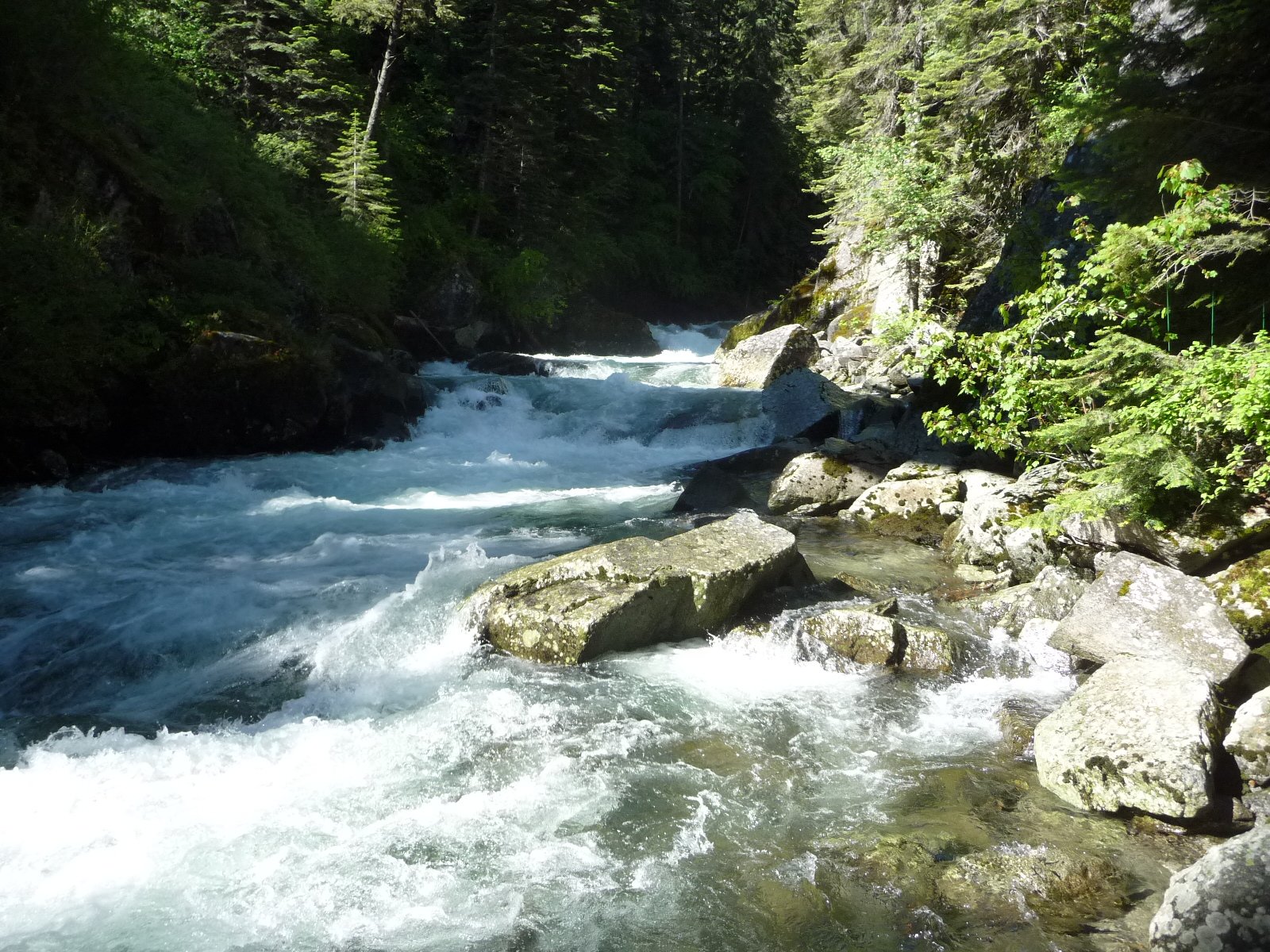
Wild and Scenic Lostine River: A small rustic camp in pine and fir along the Wild and Scenic Lostine River, used as a base for the adjacent Eagle Cap Wilderness.
Getting a site
- Managed by
- National Forest
- Reservations
- None, first-come
- Fee
- Single Site: $10 per night
Source: apps.fs.usda.gov, accessed 2026-09-28
Sites and hookups
- Total sites
- 5
- ✓ Toilets
- ✓ Fire rings
- ✕ Potable water
On site: Toilets and fire rings. No potable water.
Source: recreation.gov, accessed 2026-09-29
Rules
- Quiet hours
- 10:00 p.m. until 6:00 a.m.
Sources: fs.usda.gov, accessed 2026-09-29; recreation.gov, accessed 2026-09-29
Access and cell service
- Elevation
- 5,188 ft
45.2975, -117.3965 in Wallowa. Open in OpenStreetMap. Map © OpenStreetMap contributors.
Season and winter services
Irondyke Forest Camp's season is not on record , at 5,188 ft.
Sources: epqs.nationalmap.gov, accessed 2026-09-29; fs.usda.gov, accessed 2026-09-29
Common questions
Do you need a reservation at Irondyke Forest Camp?
How much does it cost to camp at Irondyke Forest Camp?
How many campsites does Irondyke Forest Camp have?
Is there drinking water at Irondyke Forest Camp?
When is Irondyke Forest Camp open?
Is there cell service at Irondyke Forest Camp?
Who manages Irondyke Forest Camp?
Around Irondyke Forest Camp

 First-come Arrow Forest Camp First-come Shady Campground
 More campgrounds: camping near Lostine and campgrounds in Wallowa.
Sources
- apps.fs.usda.gov (all fields), accessed 2026-09-28
- epqs.nationalmap.gov (elevationFt), accessed 2026-09-29
- broadbandmap.fcc.gov (cellCoverage), accessed 2026-09-27
- fs.usda.gov (quietHours, season, notableFeature), accessed 2026-09-29
- recreation.gov (sites, fireRings, quietHours), accessed 2026-09-29
Photo credits
- Photo 1: USDA Forest Service, Pacific Northwest Region, Public domain (US federal government work, 17 U.S.C. 105)