
Minam State Recreation Area
Its 22 sites are first-come, first-served (no reservations), and it is open from March 10 to November 30. Minam State Recreation Area is a State Park campground near Wallowa, Oregon.
First-come, first-served
 1 / 4
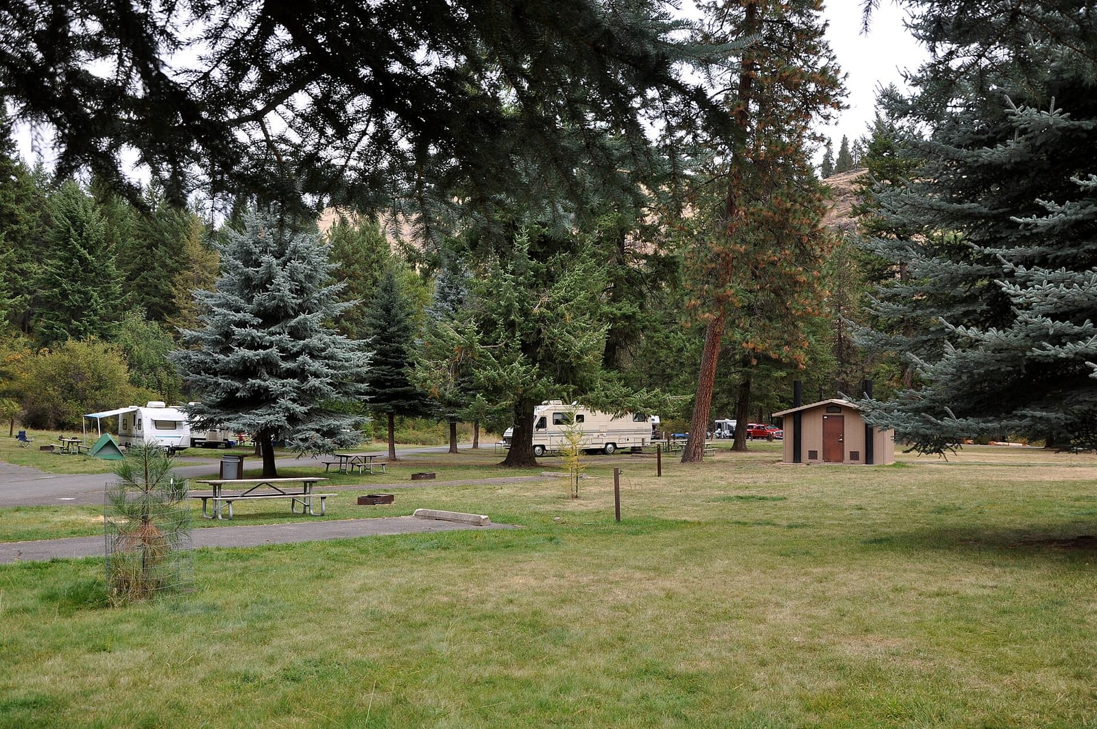
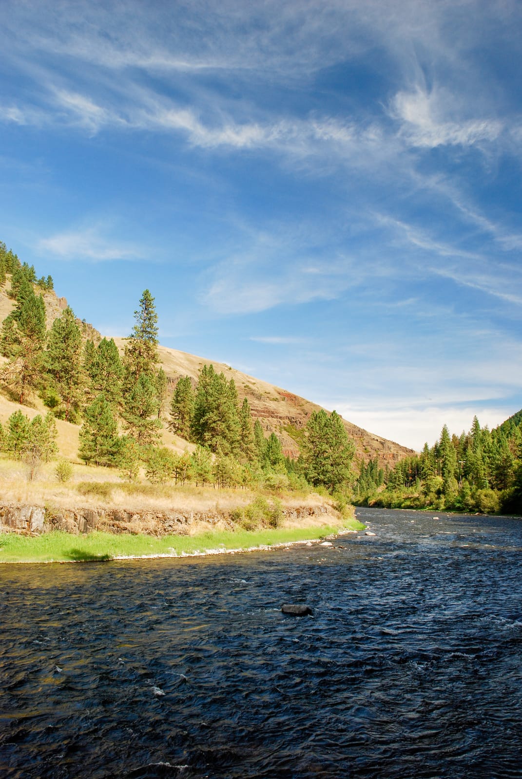
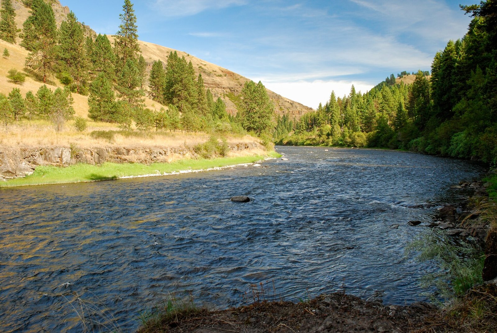
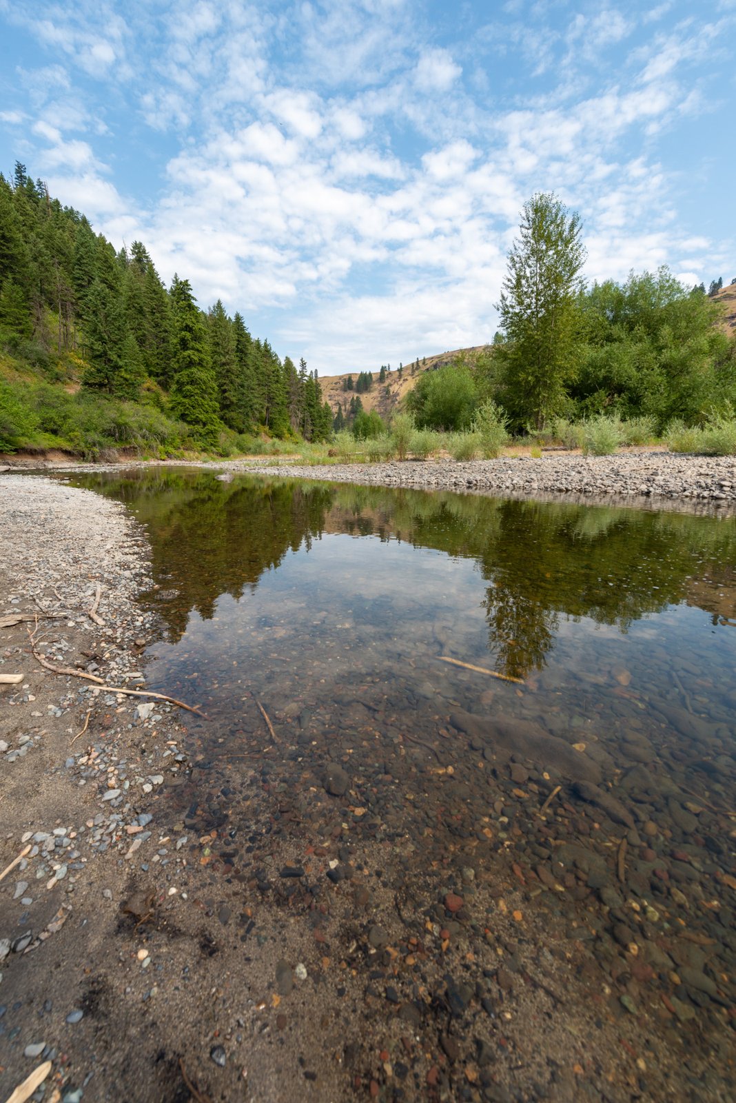
1 / 4en:Minam State Recreation Area near the Wallowa River in the U.S. state of Oregon. Photo: Finetooth, CC BY-SA 3.0
- Managed by
- State Park
- Hookups
- None
Getting a site
- Managed by
- State Park
- Reservations
- None, first-come
- Fee
- Fee unknown, see agency
Source: stateparks.oregon.gov, accessed 2026-09-29
Sites and hookups
- Total sites
- 22
- Accessible sites
- 1
- Hookups
- None
- ✓ Toilets
- ✓ Potable water
- ✓ Pets allowed
On site: Toilets, potable water, and pets allowed.
Source: stateparks.oregon.gov, accessed 2026-09-29
Rules
- Stay limit
- 14 nights in any 30-night period
- Quiet hours
- 10 p.m. to 7 a.m.
- Pets
- Allowed
Source: stateparks.oregon.gov, accessed 2026-09-29
Access and cell service
- Elevation
- 2,572 ft
45.6213, -117.7249 in Wallowa. Open in OpenStreetMap. Map © OpenStreetMap contributors.
Season and winter services
Minam State Recreation Area is open from March 10 to November 30 , at 2,572 ft.
Source: epqs.nationalmap.gov, accessed 2026-09-29
Common questions
Do you need a reservation at Minam State Recreation Area?
How many campsites does Minam State Recreation Area have?
Are there accessible (ADA) campsites at Minam State Recreation Area?
Does Minam State Recreation Area have RV hookups?
Is there drinking water at Minam State Recreation Area?
Are dogs allowed at Minam State Recreation Area?
When is Minam State Recreation Area open?
How long can you stay at Minam State Recreation Area?
Is there cell service at Minam State Recreation Area?
Who manages Minam State Recreation Area?
Around Minam State Recreation Area
More campgrounds: camping near Wallowa and campgrounds in Wallowa.
Sources
- stateparks.oregon.gov (all fields), accessed 2026-09-29
- stateparks.oregon.gov (quietHours, stayLimit, petsAllowed, water, fireRings), accessed 2026-09-29
- epqs.nationalmap.gov (elevationFt), accessed 2026-09-29
- broadbandmap.fcc.gov (cellCoverage), accessed 2026-09-27
Photo credits
- Photo 1: Finetooth, CC BY-SA 3.0
- Photo 2: Gary Halvorson, Oregon State Archives, CC BY 4.0
- Photo 3: Gary Halvorson, Oregon State Archives, CC BY 4.0
- Photo 4: Gary Halvorson, Oregon State Archives, CC BY 4.0