
Mcneil
Its sites are first-come, first-served (no reservations), camping costs Single Site: $21 per night; additional vehicle $10, and it is open from May 22 to September 7. Mcneil is a National Forest campground near Welches, Oregon.
First-come, first-served

- Managed by
- National Forest
- Max RV length
- 22 ft
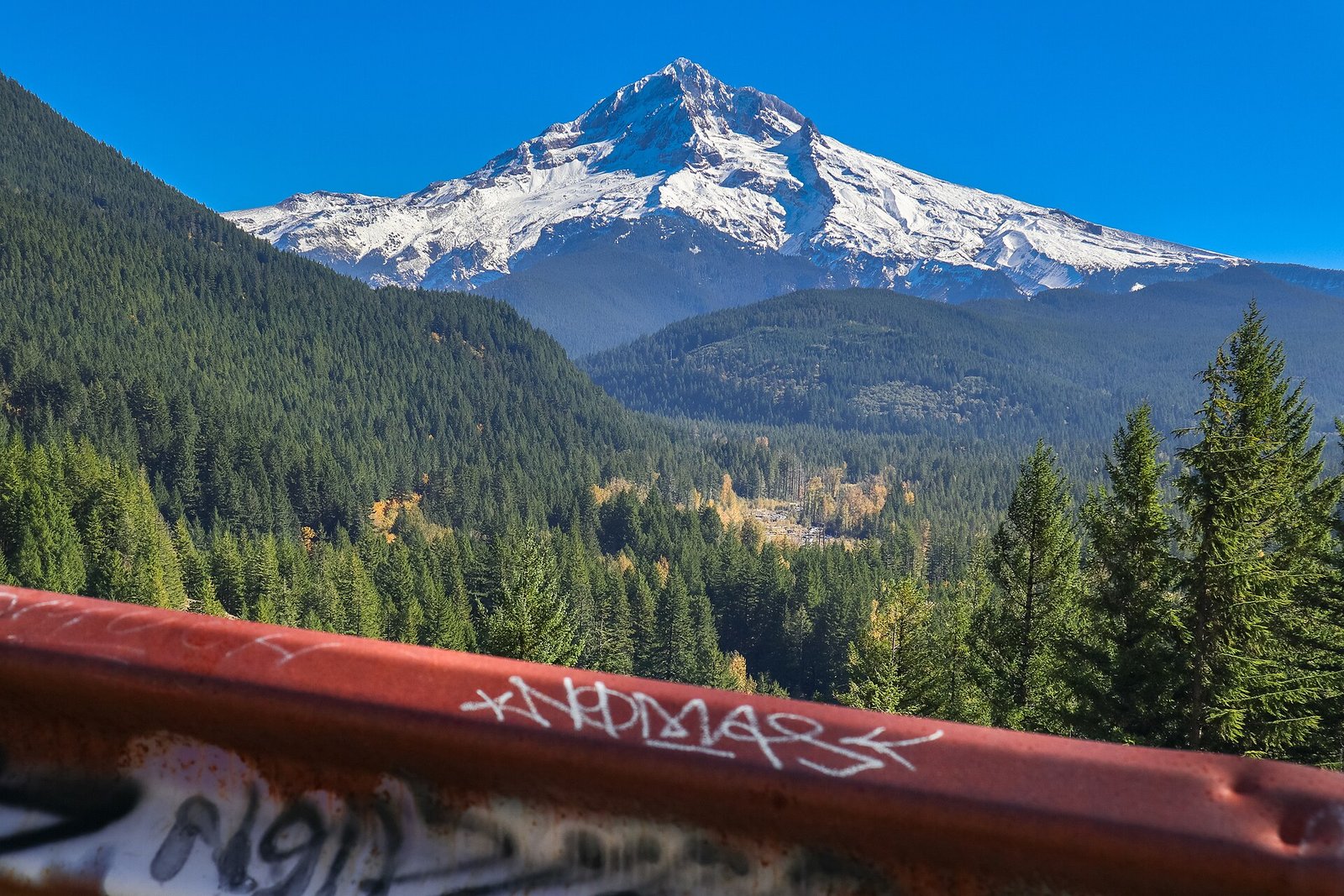
Mcneil sits inside Mt. Hood National Forest. Its dispersed-camping rule, ranger offices, and boundary are on publiclandsdb.com. It sits 0.2 miles outside the boundary of Mount Hood Wilderness; its permit and camping rules and boundary are on publiclandsdb.com.
Sandy Wild and Scenic River: Campground on the Wild and Scenic Sandy River in lodgepole forest on an old Mt. Hood mudflow, close to trails including the Ramona Falls hike.
Getting a site
- Managed by
- National Forest
- Reservations
- None, first-come
- Fee
- Single Site: $21 per night; additional vehicle $10
Source: fs.usda.gov, accessed 2026-09-29
Sites and hookups
- Max RV length
- 22 ft
- ✓ Toilets
- ✕ Potable water
On site: Toilets. No potable water.
Source: fs.usda.gov, accessed 2026-09-29
Access and cell service
- Elevation
- 2,052 ft
45.3841, -121.8668 in Clackamas. Open in OpenStreetMap. Map © OpenStreetMap contributors.
Season and winter services
Mcneil is open from May 22 to September 7 , at 2,052 ft.
Sources: epqs.nationalmap.gov, accessed 2026-09-29; fs.usda.gov, accessed 2026-09-29
Common questions
Do you need a reservation at Mcneil?
How much does it cost to camp at Mcneil?
Is there drinking water at Mcneil?
When is Mcneil open?
Is there cell service at Mcneil?
Who manages Mcneil?
Around Mcneil
The nearest lake with a fishing page is Ice House Lake, whose mapped center point is 19 miles away in a straight line. Stocking record and species: Ice House Lake fishing on fishypedia.com.
Waterfalls nearby
Nearest to Mcneil, in straight-line miles: Punch Bowl Falls (waterfall, 16 miles), Oneonta Falls (waterfall, 17 miles), Multnomah Falls (waterfall, 18 miles), Wahkeena Falls (waterfall, 18 miles), and Bridal Veil Falls (waterfall, 19 miles). Each has its own page on swimholesmap.com.
More campgrounds: camping near Welches and campgrounds in Clackamas.
Sources
- apps.fs.usda.gov (all fields), accessed 2026-09-28
- epqs.nationalmap.gov (elevationFt), accessed 2026-09-29
- broadbandmap.fcc.gov (cellCoverage), accessed 2026-09-27
- fs.usda.gov (reservationSystem, season, maxRvLengthFt, fee, notableFeature, toilets, water), accessed 2026-09-29