
Sids Mountain Wilderness - The Wedge
Sids Mountain Wilderness - The Wedge is a BLM campground near Castle Dale, Utah. Reservation, fee, and season are not on record yet.
 1 / 3
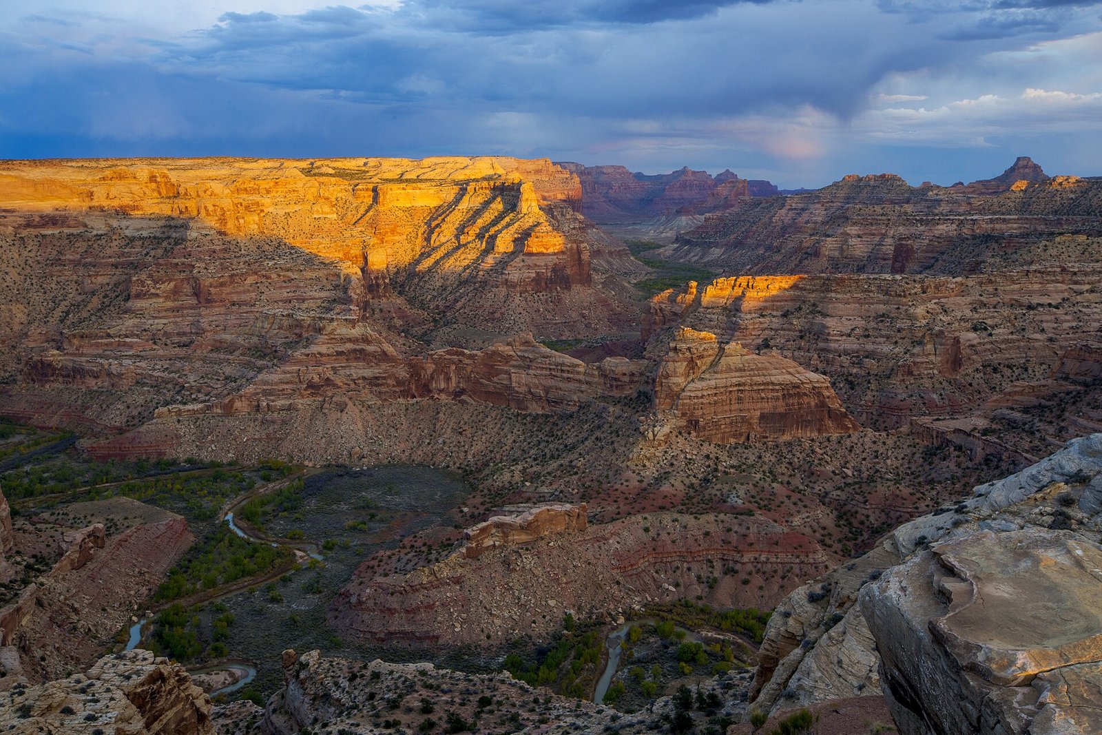
1 / 3The Little Grand Canyon of the San Rafael River from the Wedge Overlook in evening light. Photo: Bob Wick, BLM, Public domain (US federal government work, 17 U.S.C. 105)
- Managed by
- BLM
- Access road
- Gravel
It sits right at the edge of Sid's Mountain Wilderness; its permit and camping rules and boundary are on publiclandsdb.com.
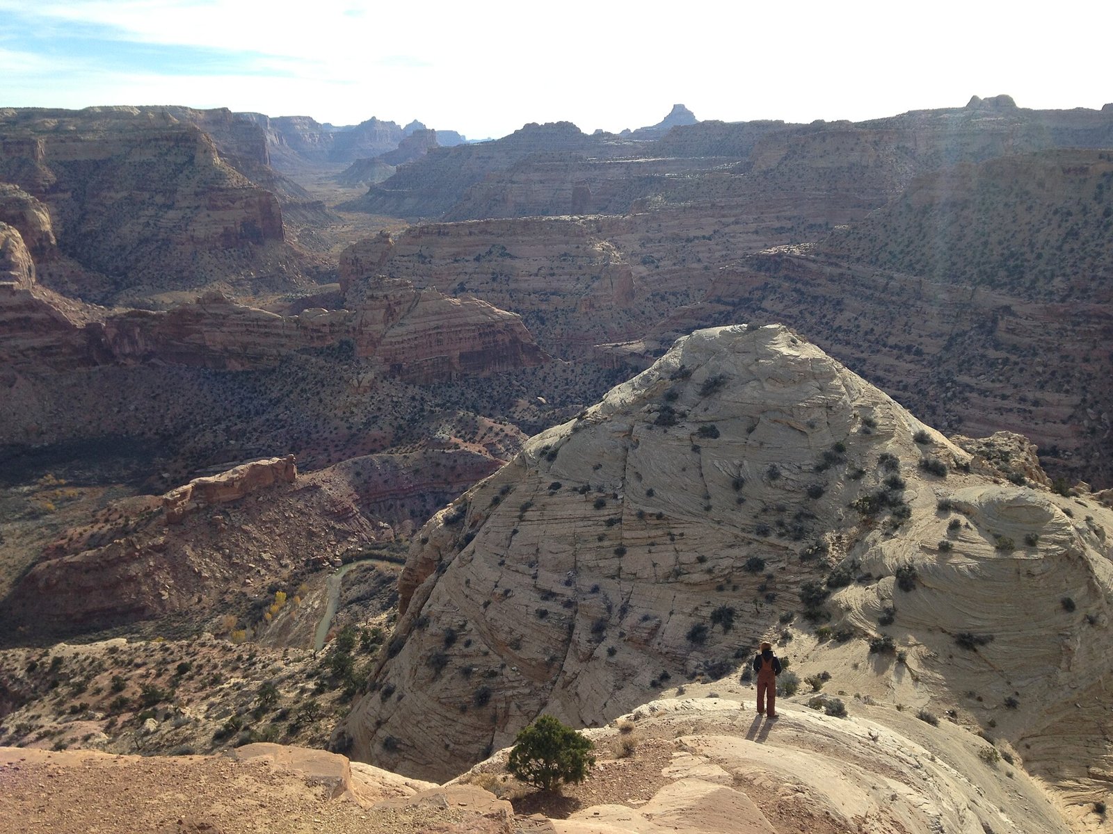
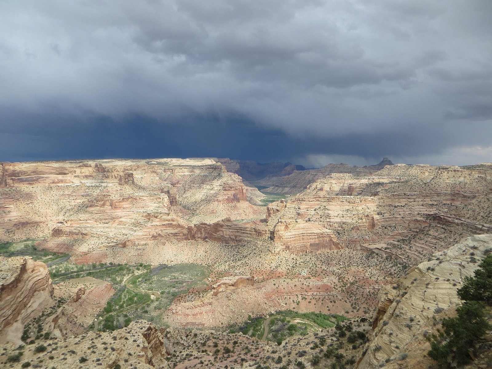
Wedge Overlook (Little Grand Canyon): The Wedge Overlook looks down into the Little Grand Canyon, the deepest part of the San Rafael River canyon, with the Sids Mountain Wilderness beyond. BLM allows camping only at designated sites before the rim.
Getting a site
- Managed by
- BLM
- Fee
- Fee unknown, see agency
Source: gis.blm.gov, accessed 2026-09-28
Access and cell service
- Access road
- Gravel
- Elevation
- 6,288 ft
Cell coverage by carrier (FCC map)
- AT&T
- No coverage at the campground; 4G LTE and 5G mapped about 0.2 mi away
- T-Mobile
- No coverage at the campground; 4G LTE and 5G mapped about 0.2 mi away
- Verizon
- 4G LTE
Source: FCC Broadband Data Collection, data as of December 31, 2025
Outdoor coverage each carrier reports to the FCC at this campground's map point, and the nearest mapped coverage within about half a mile. The FCC map only includes 4G LTE at 5/1 Mbps or better and 5G; a weaker signal, a text, or an emergency call may still get through, but don't count on it. These are carrier predictions, not measurements, and can be wrong either way: real service in canyons, under trees, and inside a tent or vehicle is often weaker. 5G speeds are the FCC's 7/1 and 35/3 Mbps tiers. This product uses the FCC Data API but is not endorsed or certified by the FCC.
39.0932, -110.7588 in Emery. Open in OpenStreetMap. Map © OpenStreetMap contributors.
Common questions
Is there cell service at Sids Mountain Wilderness - The Wedge?
Who manages Sids Mountain Wilderness - The Wedge?
Around Sids Mountain Wilderness - The Wedge
The nearest lake with a fishing page is Huntington North Reservoir, whose mapped center point is 20 miles away in a straight line. Stocking record and species: Huntington North Reservoir fishing on fishypedia.com.
Public land within 15 miles: Mexican Mountain Wilderness (13 miles to its center) , and Cold Wash Wilderness (14 miles to its center) ; publiclandsdb.com has each unit's camping rules and boundary.
 Reservable Buckhorn Draw
 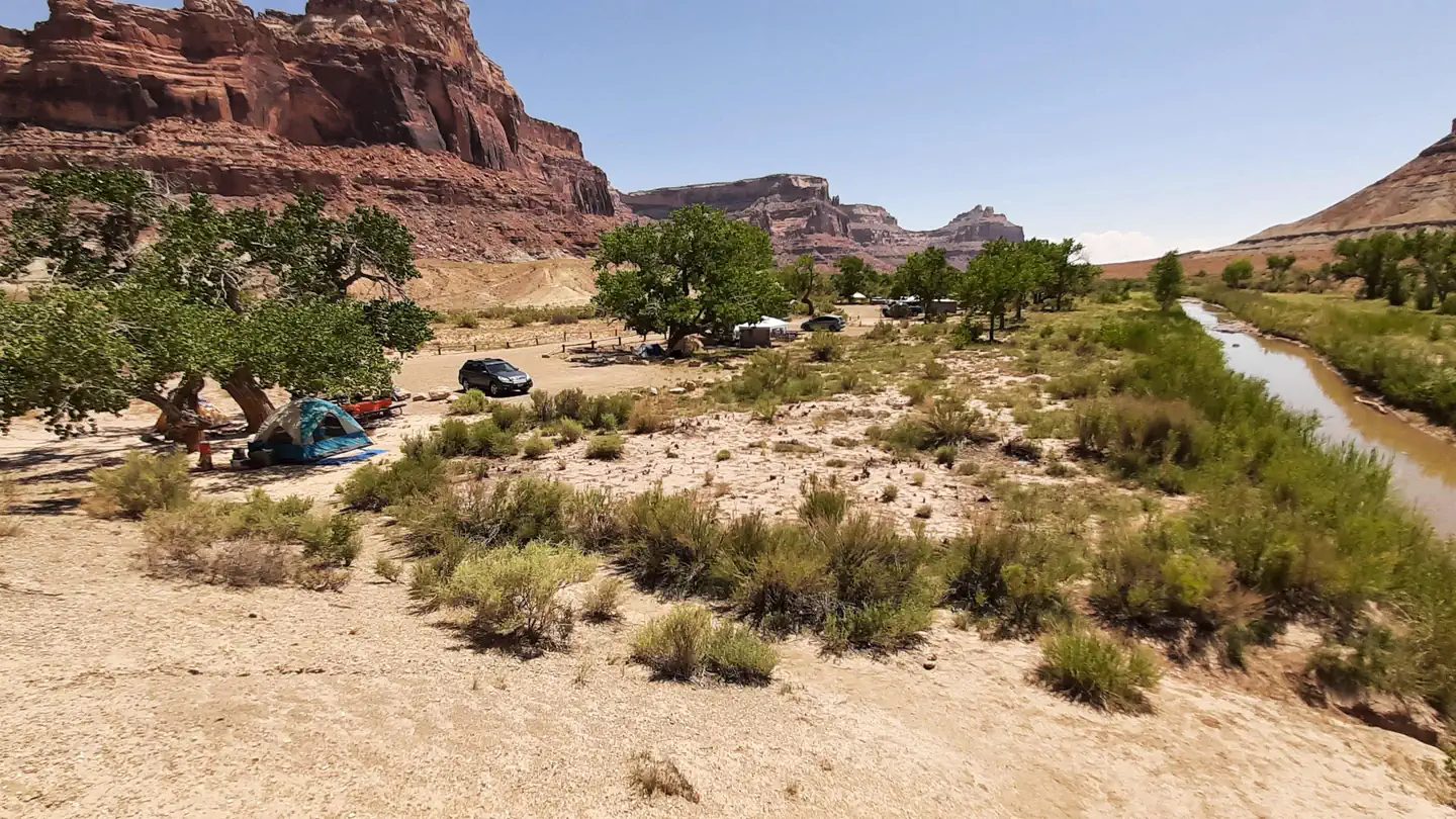 First-come San Rafael Swinging Bridge Campground
 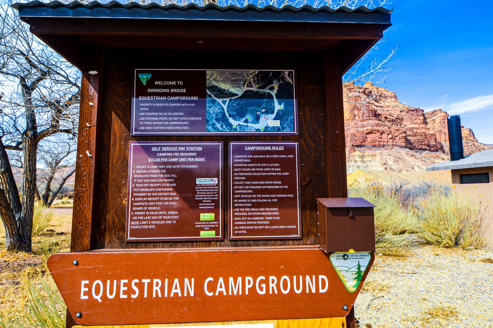 First-come Equestrian Campground
 More campgrounds: camping near Castle Dale and campgrounds in Emery.
Sources
- gis.blm.gov (all fields), accessed 2026-09-28
- epqs.nationalmap.gov (elevationFt), accessed 2026-09-29
- gis.blm.gov (notableFeature), accessed 2026-09-29
- gis.blm.gov (notableFeature), accessed 2026-09-29
- geology.utah.gov (accessRoad, notableFeature), accessed 2026-09-29
- broadbandmap.fcc.gov (cellCoverage), accessed 2026-09-27
Photo credits
- Photo 1: Bob Wick, BLM, Public domain (US federal government work, 17 U.S.C. 105)
- Photo 2: Chad Douglas, BLM Utah, Public domain (US federal government work, 17 U.S.C. 105)
- Photo 3: Jaydon Mead, BLM Utah, Public domain (US federal government work, 17 U.S.C. 105)