
Kamloops Island Campground
Its 17 sites are reservable through Recreation.gov, and camping costs $23/night. Kamloops Island Campground is a National Park Service campground near Kettle Falls, Washington.
Reservable: Recreation.gov
 1 / 7
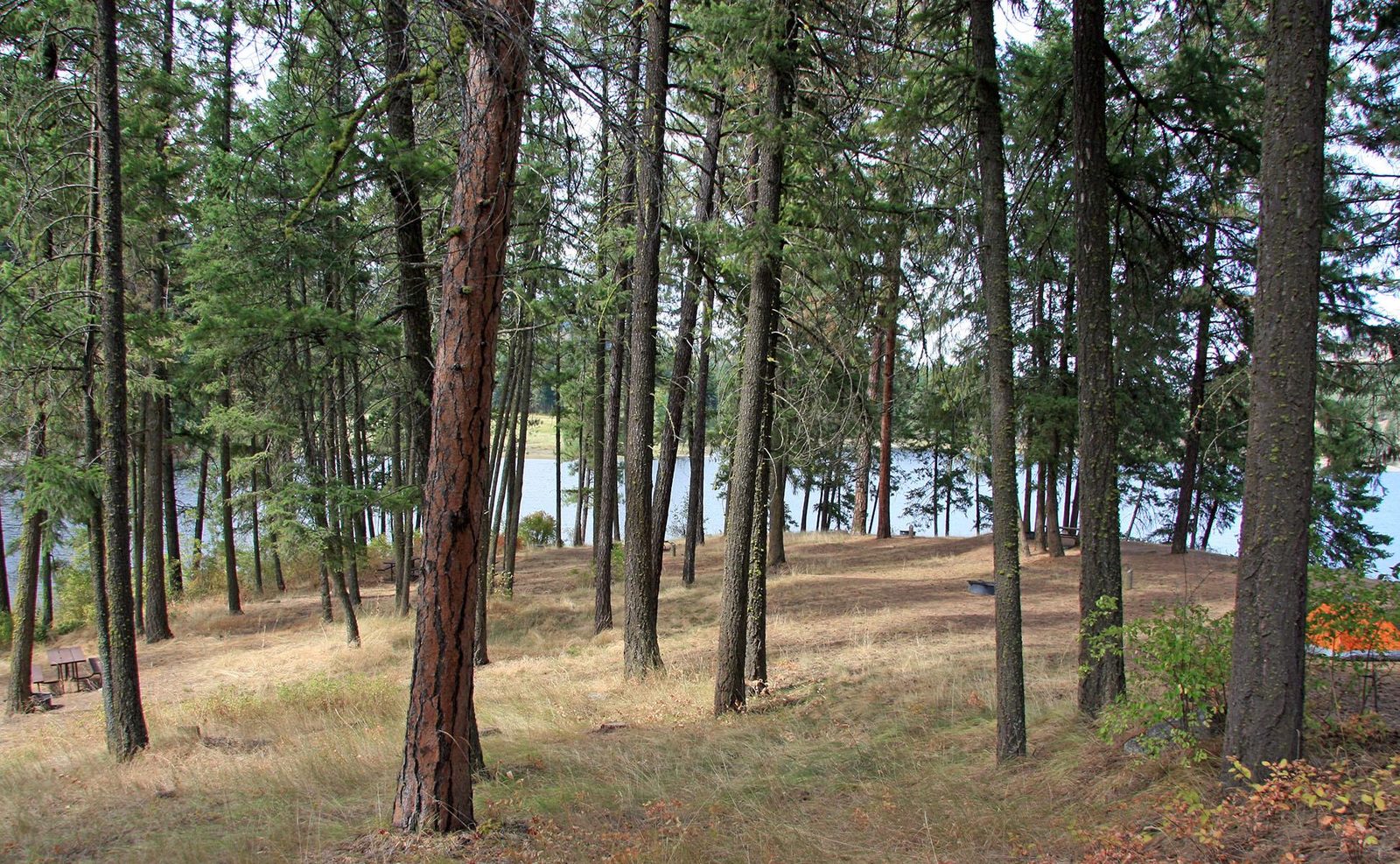
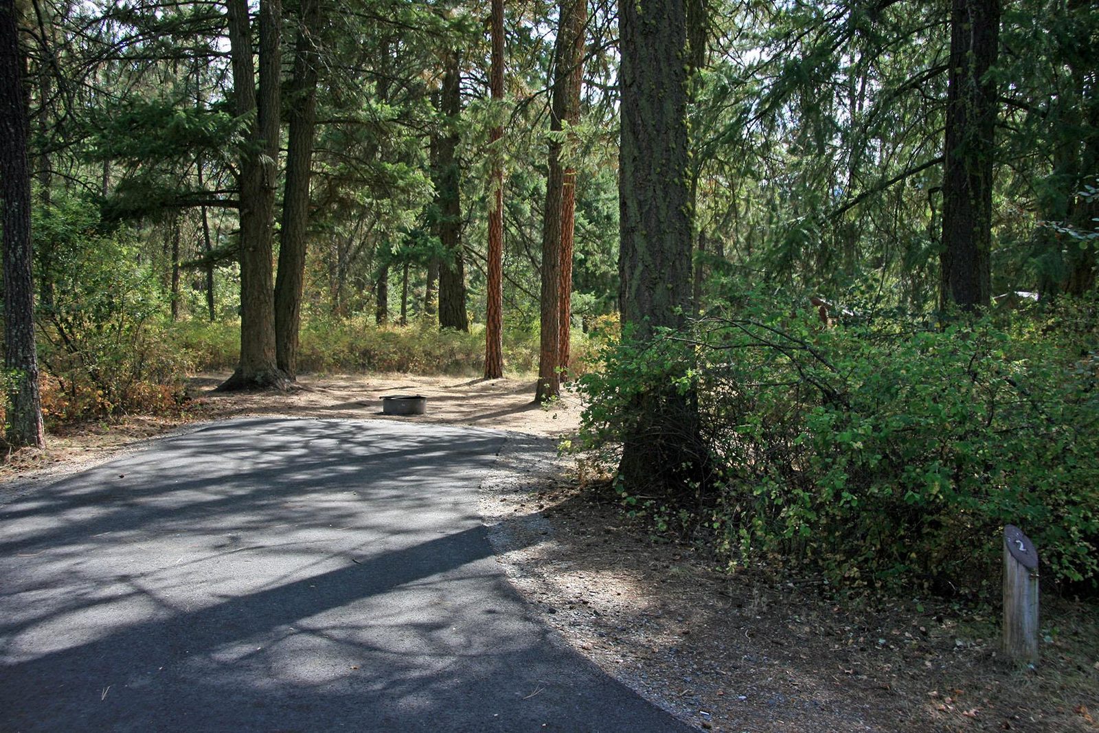
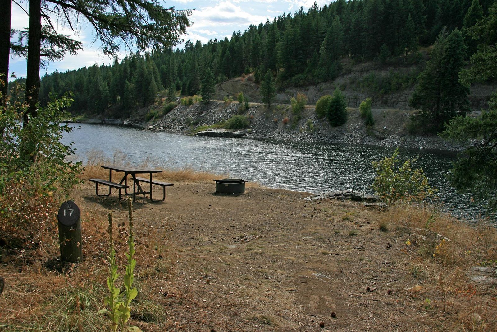
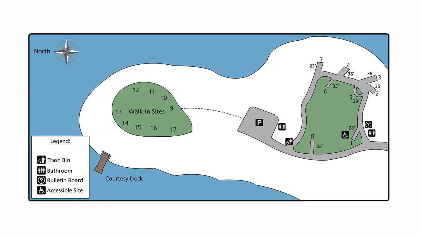
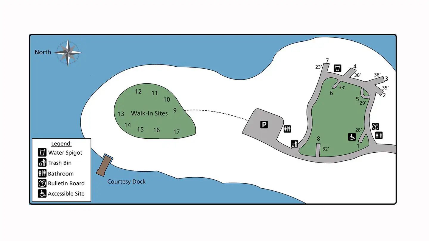
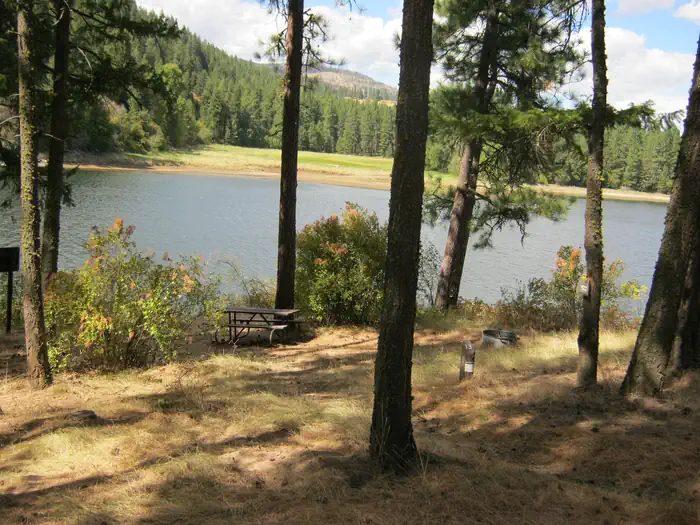
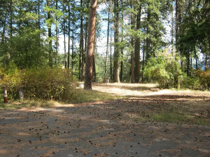
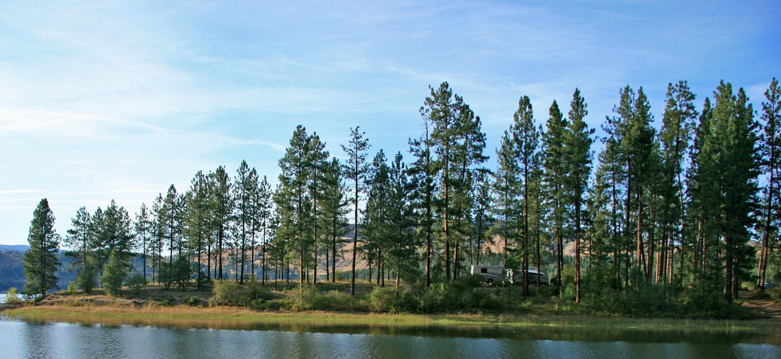
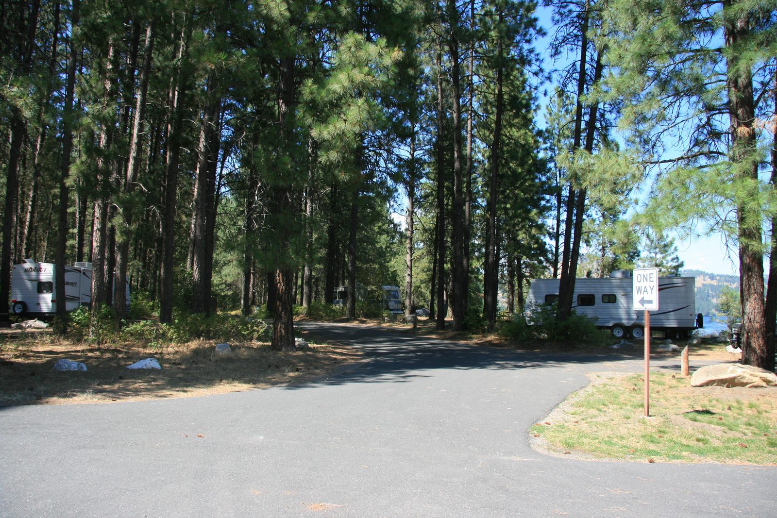
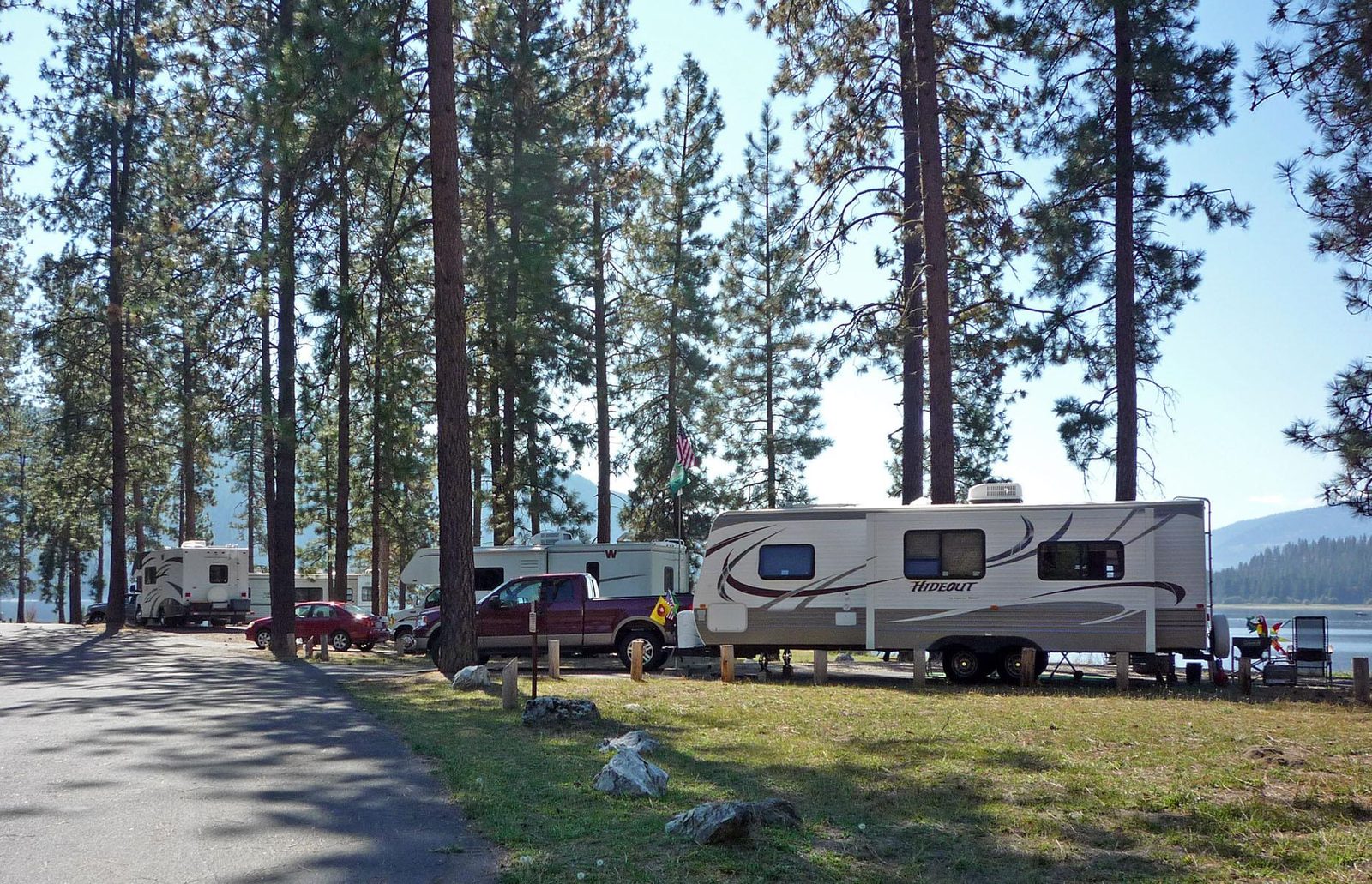
1 / 7Half of Kamloop's campsites are walk-in only. Photo: NPS Photo, Public domain (US federal government work)
- Managed by
- National Park Service
- Hookups
- None
- Max RV length
- 40 ft
- Cell service
- Spotty
Getting a site
- Managed by
- National Park Service
- Reservations
- Recreation.gov Book a site
- Fee
- $23/night
Source: nps.gov, accessed 2026-09-29
Sites and hookups
- Total sites
- 17
- Walk-in sites
- 9
- Accessible sites
- 1
- Hookups
- None
- Max RV length
- 40 ft
- Site driveways
- Mixed
- ✓ Toilets
- ✓ Fire rings
- ✓ Pets allowed
- ✕ Potable water
On site: Toilets, fire rings, and pets allowed. No potable water.
Source: recreation.gov, accessed 2026-09-29
Campsites
17 sites in 2 loops; 1 pull-through; the longest takes a 40 ft vehicle. Every site below links to its own page on Recreation.gov, where it is booked. Official site list and booking on recreation.gov.
| Book | ||||||||
|---|---|---|---|---|---|---|---|---|
| 1 | 1 | Standard nonelectric | 27 ft | Back-in | Not on record | Yes | Yes | Book loop 1, site 1 |
| 2 | 1 | Standard nonelectric | 33 ft | Back-in | Not on record | No | Yes | Book loop 1, site 2 |
| 3 | 1 | Standard nonelectric | 36 ft | Back-in | Not on record | No | Yes | Book loop 1, site 3 |
| 4 | 1 | Standard nonelectric | 40 ft | Back-in | Not on record | No | Yes | Book loop 1, site 4 |
| 5 | 1 | Standard nonelectric | 22 ft | Pull-through | Not on record | No | Yes | Book loop 1, site 5 |
| 6 | 1 | Standard nonelectric | 33 ft | Back-in | Not on record | No | Yes | Book loop 1, site 6 |
| 7 | 1 | Standard nonelectric | 22 ft | Back-in | Not on record | No | Yes | Book loop 1, site 7 |
| 8 | 1 | Standard nonelectric | 32 ft | Back-in | Not on record | No | Yes | Book loop 1, site 8 |
| 9 | 2 | Walk to | Not on record | Not on record | Not on record | No | Yes | Book loop 2, site 9 |
| 10 | 2 | Walk to | Not on record | Not on record | Not on record | No | Yes | Book loop 2, site 10 |
| 11 | 2 | Walk to | Not on record | Not on record | Not on record | No | Yes | Book loop 2, site 11 |
| 12 | 2 | Walk to | Not on record | Not on record | Not on record | No | Yes | Book loop 2, site 12 |
| 13 | 2 | Walk to | Not on record | Not on record | Not on record | No | Yes | Book loop 2, site 13 |
| 14 | 2 | Walk to | Not on record | Not on record | Not on record | No | Yes | Book loop 2, site 14 |
| 15 | 2 | Walk to | Not on record | Not on record | Not on record | No | Yes | Book loop 2, site 15 |
| 16 | 2 | Walk to | Not on record | Not on record | Not on record | No | Yes | Book loop 2, site 16 |
| 17 | 2 | Walk to | Not on record | Not on record | Not on record | No | Yes | Book loop 2, site 17 |
Data source: Recreation.gov , accessed 2026-09-29. Site details are Recreation.gov's own per-site listing and can differ from the campground-wide facts above.
Rules
- Pets
- Allowed
Source: recreation.gov, accessed 2026-09-29
Access and cell service
- Cell service, reported
- Spotty
- Elevation
- 1,348 ft
Cell coverage by carrier (FCC map)
- AT&T
- 4G LTE and 5G (35/3 Mbps)
- T-Mobile
- 4G LTE and 5G (35/3 Mbps)
- Verizon
- 4G LTE
- Inland Cellular LLC
- 4G LTE
Source: FCC Broadband Data Collection, data as of December 31, 2025
Outdoor coverage each carrier reports to the FCC at this campground's map point, and the nearest mapped coverage within about half a mile. The FCC map only includes 4G LTE at 5/1 Mbps or better and 5G; a weaker signal, a text, or an emergency call may still get through, but don't count on it. These are carrier predictions, not measurements, and can be wrong either way: real service in canyons, under trees, and inside a tent or vehicle is often weaker. 5G speeds are the FCC's 7/1 and 35/3 Mbps tiers. This product uses the FCC Data API but is not endorsed or certified by the FCC.
48.6783, -118.1170 in Stevens. Open in OpenStreetMap. Map © OpenStreetMap contributors.
Common questions
Do you need a reservation at Kamloops Island Campground?
How much does it cost to camp at Kamloops Island Campground?
How many campsites does Kamloops Island Campground have?
Are there accessible (ADA) campsites at Kamloops Island Campground?
Does Kamloops Island Campground have RV hookups?
Are there pull-through sites at Kamloops Island Campground?
Is there drinking water at Kamloops Island Campground?
Are dogs allowed at Kamloops Island Campground?
Is there cell service at Kamloops Island Campground?
Who manages Kamloops Island Campground?
Around Kamloops Island Campground
The nearest lake with a fishing page is Rigley Lake, whose mapped center point is 6.1 miles away in a straight line. Stocking record and species: Rigley Lake fishing on fishypedia.com.
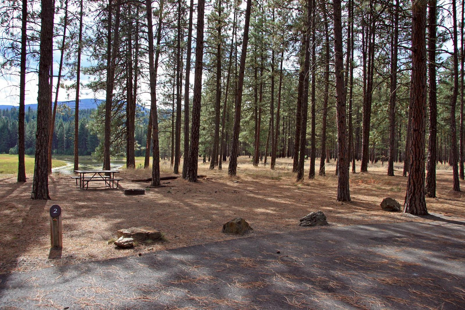 Reservable Kettle River Campground
  Reservable Marcus Island Campground
  Reservable Snag Cove Campground
  Reservable Evans Campground
 More campgrounds: camping near Kettle Falls and campgrounds in Stevens.
Sources
- nps.gov (all fields), accessed 2026-09-29
- epqs.nationalmap.gov (elevationFt), accessed 2026-09-29
- recreation.gov (hookups, maxRvLengthFt, drivewayType, petsAllowed, sites, campsites), accessed 2026-09-29
- broadbandmap.fcc.gov (cellCoverage), accessed 2026-09-27
Photo credits
- Photo 1: NPS Photo, Public domain (US federal government work)
- Photo 2: NPS Photo, Public domain (US federal government work)
- Photo 3: NPS Photo, Public domain (US federal government work)
- Photo 4: NPS-LARO, via Recreation.gov, Public domain (US federal government work)
- Photo 5: NPS-LARO, via Recreation.gov, Public domain (US federal government work)
- Photo 6: NPS-LARO, via Recreation.gov, Public domain (US federal government work)
- Photo 7: NPS-LARO, via Recreation.gov, Public domain (US federal government work)