
River Bend
Its sites are first-come, first-served (no reservations), camping costs Single Site: $10 per night, and it is open from May to October. River Bend is a National Forest campground near Mazama, Washington.
First-come, first-served
 1 / 3
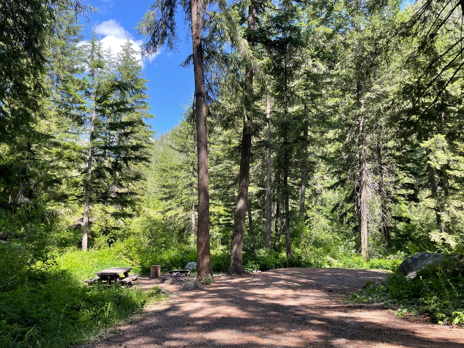
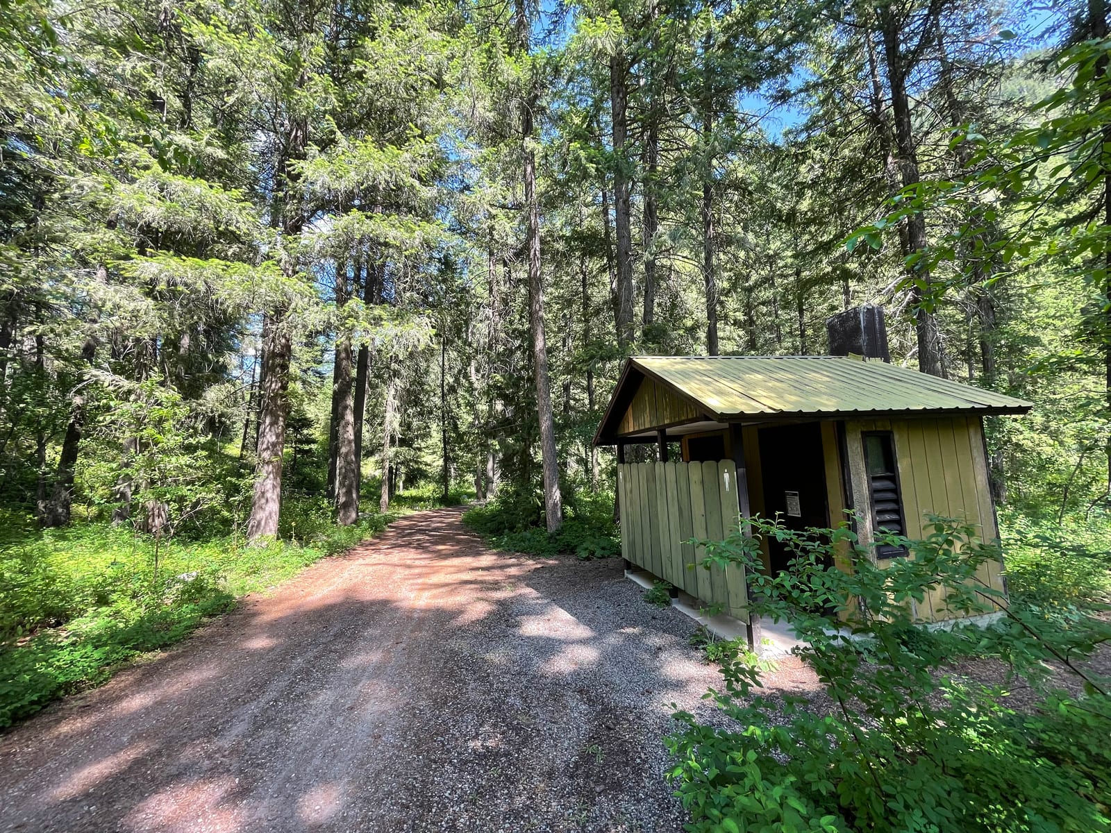
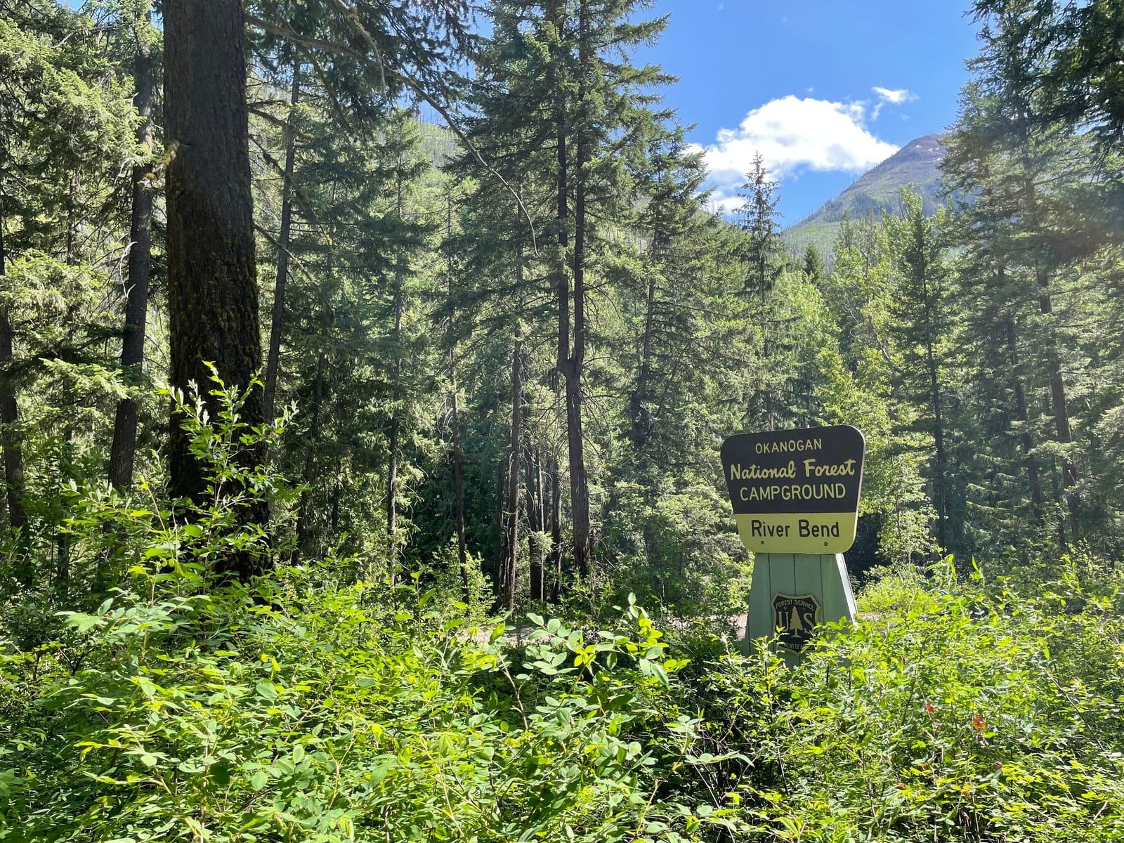
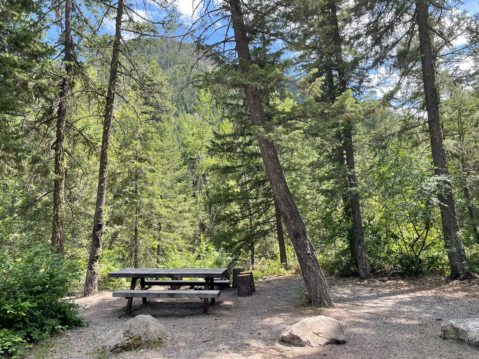
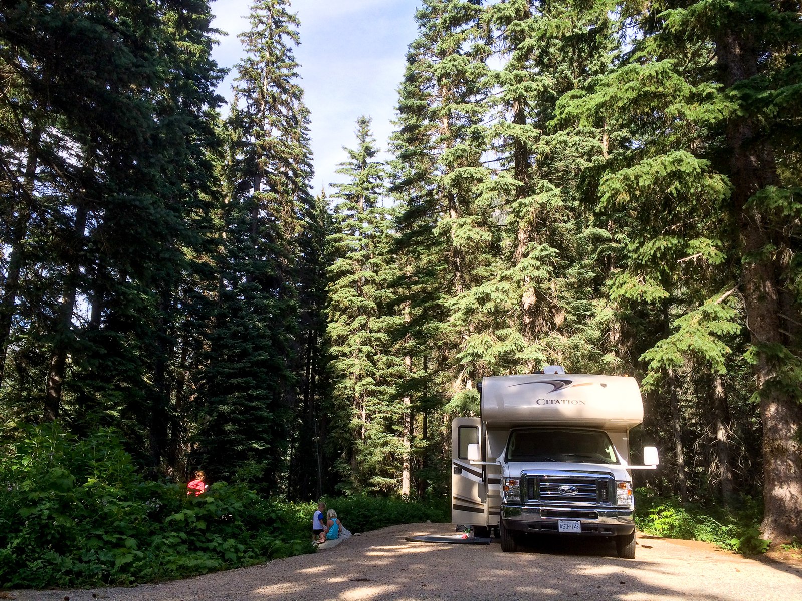
1 / 3A shaded campsite at River Bend Campground. Photo: USDA Forest Service, Okanogan-Wenatchee National Forest, Public domain (US federal government work, 17 U.S.C. 105)
- Managed by
- National Forest
- Access road
- Gravel
River Bend sits inside Okanogan-Wenatchee National Forest. Its dispersed-camping rule, ranger offices, and boundary are on publiclandsdb.com.
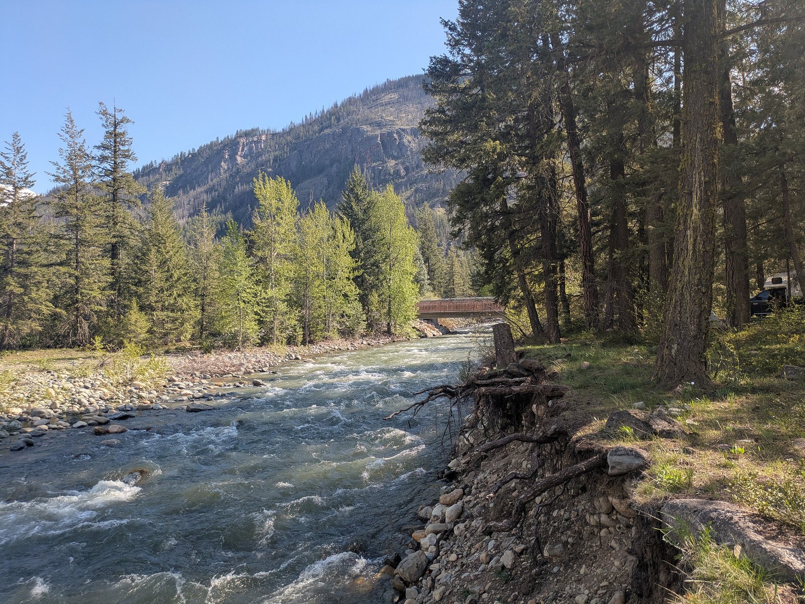
West Fork Methow Trail: Forested camp on the West Fork Methow River with the West Fork Methow, Robinson Creek and Monument Creek trails into the Pasayten Wilderness nearby. (fs.usda.gov)
Getting a site
- Managed by
- National Forest
- Reservations
- None, first-come
- Fee
- Single Site: $10 per night
Source: apps.fs.usda.gov, accessed 2026-09-28
What's there
- ✓ Toilets
- ✕ Potable water
On site: Toilets. No potable water.
Rules
- Stay limit
- 14 consecutive days, then 30 days off the forest; 28 days per calendar year
Sources: apps.fs.usda.gov, accessed 2026-09-29; fs.usda.gov, accessed 2026-09-29
Access and cell service
- Access road
- Gravel
- Elevation
- 2,616 ft
48.6520, -120.5536 in Okanogan. Open in OpenStreetMap. Map © OpenStreetMap contributors.
Season and winter services
River Bend is open from May to October , at 2,616 ft.
Sources: epqs.nationalmap.gov, accessed 2026-09-28; fs.usda.gov, accessed 2026-09-29
Common questions
Do you need a reservation at River Bend?
How much does it cost to camp at River Bend?
Is there drinking water at River Bend?
When is River Bend open?
How long can you stay at River Bend?
Is there cell service at River Bend?
Who manages River Bend?
Around River Bend
The nearest lake with a fishing page is Patterson Lake, whose mapped center point is 20 miles away in a straight line. Stocking record and species: Patterson Lake fishing on fishypedia.com.
More campgrounds: camping near Mazama and campgrounds in Okanogan.
Sources
- apps.fs.usda.gov (all fields), accessed 2026-09-28
- epqs.nationalmap.gov (elevationFt), accessed 2026-09-28
- broadbandmap.fcc.gov (cellCoverage), accessed 2026-09-27
- fs.usda.gov (accessRoad, season, notableFeature), accessed 2026-09-29
- apps.fs.usda.gov (stayLimit), accessed 2026-09-29
- fs.usda.gov (stayLimit), accessed 2026-09-29
- fs.usda.gov (photos), accessed 2026-09-30
- fs.usda.gov (photos), accessed 2026-09-30
- fs.usda.gov (photos), accessed 2026-09-30
Photo credits
- Photo 1: USDA Forest Service, Okanogan-Wenatchee National Forest, Public domain (US federal government work, 17 U.S.C. 105)
- Photo 2: USDA Forest Service, Okanogan-Wenatchee National Forest, Public domain (US federal government work, 17 U.S.C. 105)
- Photo 3: USDA Forest Service, Okanogan-Wenatchee National Forest, Public domain (US federal government work, 17 U.S.C. 105)