
Lost Meadow
Its sites are first-come, first-served (no reservations). Lost Meadow is a National Forest campground near Naches, Washington.
First-come, first-served
 1 / 2
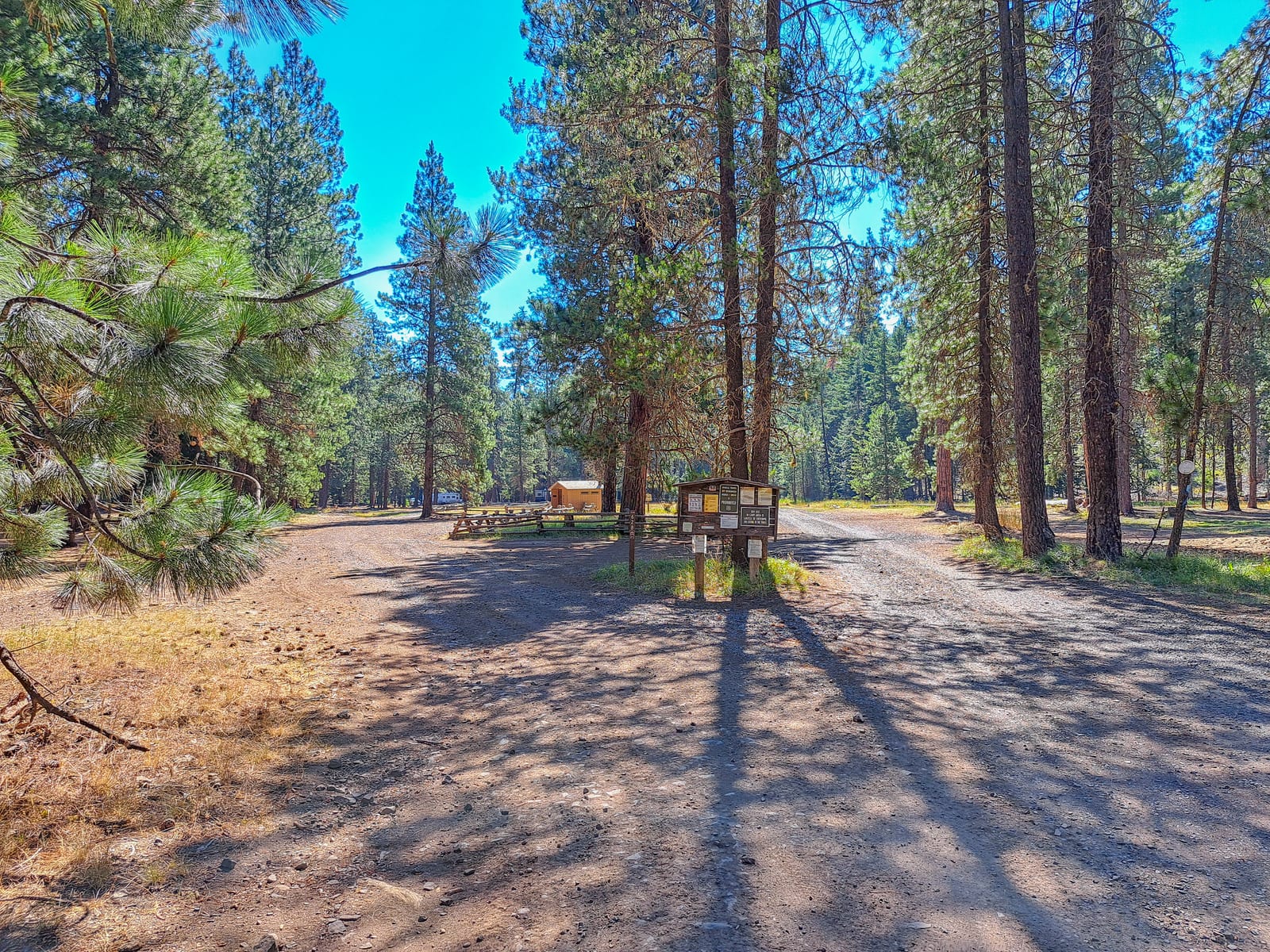
1 / 2The camp road through ponderosa pines at Lost Meadow Campground. Photo: USDA Forest Service, Okanogan-Wenatchee National Forest, Public domain (US federal government work, 17 U.S.C. 105)
- Managed by
- National Forest
Lost Meadow sits inside Okanogan-Wenatchee National Forest. Its dispersed-camping rule, ranger offices, and boundary are on publiclandsdb.com.
OHV staging and motorcycle trails: A popular OHV staging area with motorcycle trails nearby, off Little Naches Road (Forest Road 1900). (fs.usda.gov)
Getting a site
- Managed by
- National Forest
- Reservations
- None, first-come
- Fee
- Fee unknown, see agency
- Entrance fee
- Day use: $5 per vehicle per day or $30 annual
Source: fs.usda.gov, accessed 2026-09-29
What's there
- ✓ Toilets
- ✕ Potable water
On site: Toilets. No potable water.
Rules
- Stay limit
- 14 consecutive days, then 30 days off the forest; 28 days per calendar year
Source: fs.usda.gov, accessed 2026-09-29
Access and cell service
- Elevation
- 3,121 ft
47.0613, -121.2246 in Yakima. Open in OpenStreetMap. Map © OpenStreetMap contributors.
Common questions
Do you need a reservation at Lost Meadow?
Is there a separate entrance fee at Lost Meadow?
Is there drinking water at Lost Meadow?
How long can you stay at Lost Meadow?
Is there cell service at Lost Meadow?
Who manages Lost Meadow?
Around Lost Meadow
The nearest lake with a fishing page is Indian Flat Pond, whose mapped center point is 7 miles away in a straight line. Stocking record and species: Indian Flat Pond fishing on fishypedia.com.
Waterfalls nearby
The nearest waterfall to Lost Meadow, in a straight line: Franklin Falls (waterfall, 27 miles). Each has its own page on swimholesmap.com.
More campgrounds: camping near Naches and campgrounds in Yakima.
Sources
- apps.fs.usda.gov (all fields), accessed 2026-09-28
- epqs.nationalmap.gov (elevationFt), accessed 2026-09-28
- broadbandmap.fcc.gov (cellCoverage), accessed 2026-09-27
- fs.usda.gov (entranceFee, notableFeature), accessed 2026-09-29
- fs.usda.gov (stayLimit), accessed 2026-09-29
- fs.usda.gov (photos), accessed 2026-09-30
- fs.usda.gov (photos), accessed 2026-09-30
Photo credits
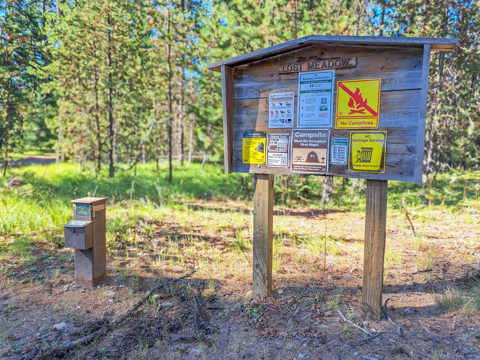
- Photo 1: USDA Forest Service, Okanogan-Wenatchee National Forest, Public domain (US federal government work, 17 U.S.C. 105)
- Photo 2: USDA Forest Service, Okanogan-Wenatchee National Forest, Public domain (US federal government work, 17 U.S.C. 105)