
Beebe Bridge State Park
Its 46 sites are reservable through Washington State Parks reservations, and it is open from April 15 to October 15. Beebe Bridge State Park is a State Park campground near Orondo, Washington.
Reservable: Washington State Parks reservations
 1 / 2
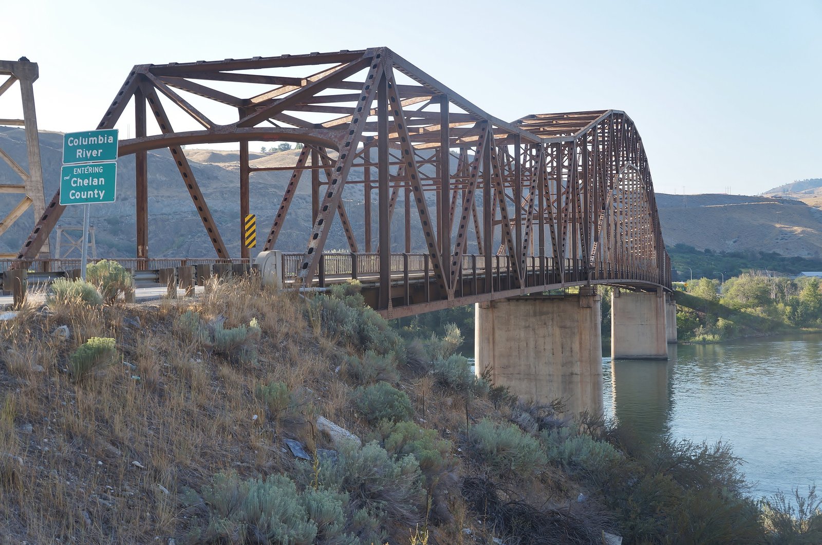
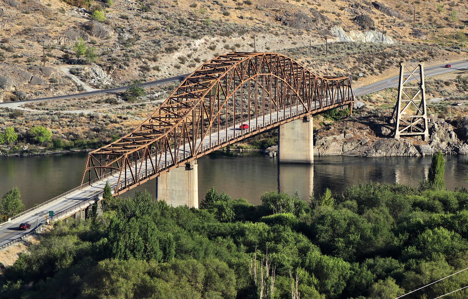
1 / 2Beebe Bridge over the Columbia River, seen from the east bank by the park. Photo: SounderBruce, CC BY-SA 4.0
- Managed by
- State Park
- Hookups
- Some sites
- Max RV length
- 90 ft
Getting a site
- Managed by
- State Park
- Reservations
- Washington State Parks reservations Book a site
- Fee
- Fee unknown, see agency
- Entrance fee
- None for campers in the park they stay in; Discover Pass $10/day or $45/year for day visits
- Booking window
- Up to nine months before the first night; same-day campsite bookings until 2 p.m.
- Cancellations
- $8 online or $10 by phone, plus 5% to 50% of cancelled nights depending on how long the reservation was held; no-shows get no refund
Source: parks.wa.gov, accessed 2026-09-29
Sites and hookups
- Total sites
- 46
- RV sites
- 46
- Hookups
- Some sites , up to 50 amp
- Max RV length
- 90 ft
- Site driveways
- Mixed
- ✓ Toilets
- ✓ Potable water
- ✓ Showers
- ✓ Dump station
- ✓ Fire rings
- ✓ Pets allowed
On site: Toilets, potable water, showers, dump station, fire rings, and pets allowed.
Source: parks.wa.gov, accessed 2026-09-29
Rules
- Stay limit
- 10 nights in one park within a 30-day period; 90 nights per calendar year in all state parks
- Quiet hours
- 10 p.m. to 6:30 a.m.
- Generators
- Allowed outside quiet hours
- Pets
- Allowed
Source: parks.wa.gov, accessed 2026-09-29
Access and cell service
- Elevation
- 735 ft
Cell coverage by carrier (FCC map)
- AT&T
- 4G LTE
- T-Mobile
- 4G LTE and 5G (35/3 Mbps)
- Verizon
- 4G LTE and 5G (35/3 Mbps)
Source: FCC Broadband Data Collection, data as of December 31, 2025
Outdoor coverage each carrier reports to the FCC at this campground's map point, and the nearest mapped coverage within about half a mile. The FCC map only includes 4G LTE at 5/1 Mbps or better and 5G; a weaker signal, a text, or an emergency call may still get through, but don't count on it. These are carrier predictions, not measurements, and can be wrong either way: real service in canyons, under trees, and inside a tent or vehicle is often weaker. 5G speeds are the FCC's 7/1 and 35/3 Mbps tiers. This product uses the FCC Data API but is not endorsed or certified by the FCC.
47.8056, -119.9741 in Douglas. Open in OpenStreetMap. Map © OpenStreetMap contributors.
Season and winter services
Beebe Bridge State Park is open from April 15 to October 15 , at 735 ft.
Source: epqs.nationalmap.gov, accessed 2026-09-29
Common questions
Do you need a reservation at Beebe Bridge State Park?
Is there a separate entrance fee at Beebe Bridge State Park?
What happens if I cancel or don't show up at Beebe Bridge State Park?
How many campsites does Beebe Bridge State Park have?
Does Beebe Bridge State Park have RV hookups?
Is there drinking water at Beebe Bridge State Park?
Are dogs allowed at Beebe Bridge State Park?
When is Beebe Bridge State Park open?
How long can you stay at Beebe Bridge State Park?
Are generators allowed at Beebe Bridge State Park?
Is there cell service at Beebe Bridge State Park?
Who manages Beebe Bridge State Park?
Around Beebe Bridge State Park
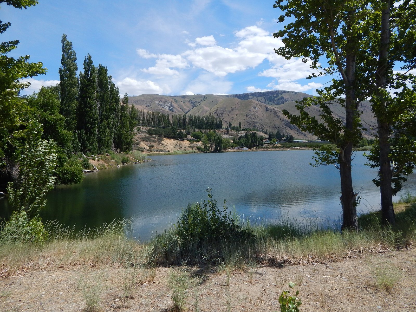
Beebe Bridge State Park sits on Frank's Pond, 0.8 miles from the lake's mapped center point. Stocking record and species: Frank's Pond fishing on fishypedia.com.
Lake Chelan's mapped center point is 4.6 miles from Beebe Bridge State Park in a straight line. Current water level: Lake Chelan water level on reservoirfinder.com.
Other lakes within 15 miles: Roses Lake fishing (11 miles) , Dry Lake fishing (12 miles) , Antilon (Lower) fishing (14 miles) , and Alta Lake fishing (15 miles) , each with its stocking record on fishypedia.com.
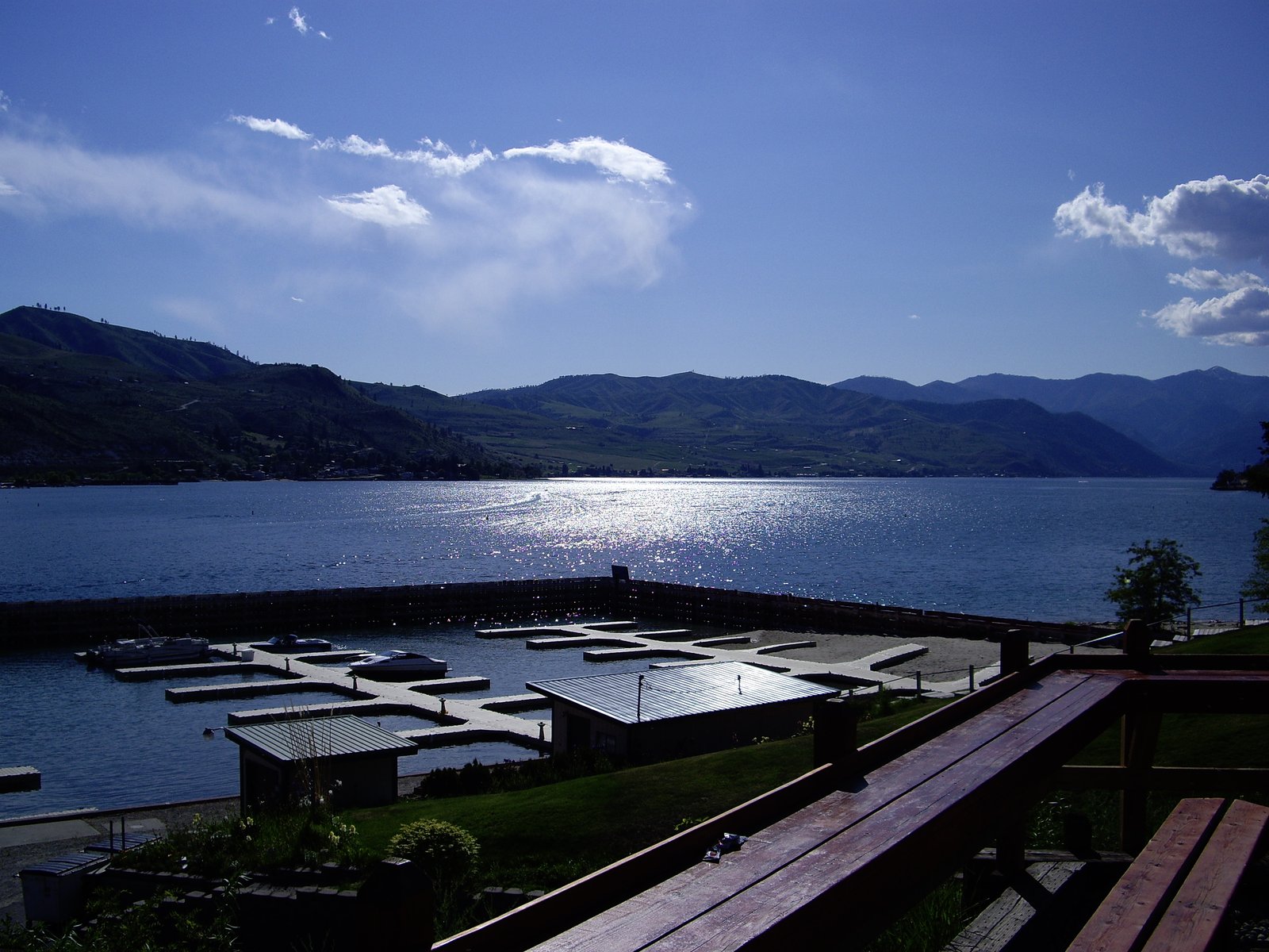 Reservable Lakeshore RV Park
 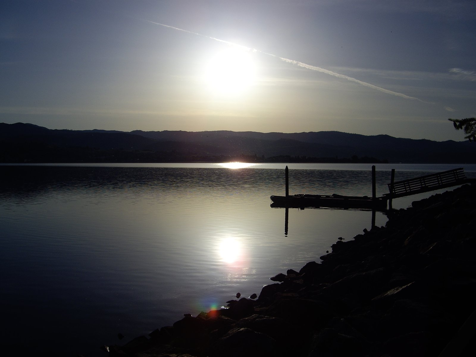 Reservable Lake Chelan State Park
  Reservable Daroga State Park First-come Antilon Lake
 More campgrounds: camping near Orondo and campgrounds in Douglas.
Sources
- parks.wa.gov (all fields), accessed 2026-09-29
- services5.arcgis.com (coordinates), accessed 2026-09-29
- parks.wa.gov (stayLimit, quietHours, generatorsAllowed, entranceFee), accessed 2026-09-29
- parks.wa.gov (reservationWindow), accessed 2026-09-29
- parks.wa.gov (cancellationPolicy), accessed 2026-09-29
- parks.wa.gov (reservationSystem), accessed 2026-09-29
- epqs.nationalmap.gov (elevationFt), accessed 2026-09-29
- broadbandmap.fcc.gov (cellCoverage), accessed 2026-09-27
Photo credits
- Photo 1: SounderBruce, CC BY-SA 4.0
- Photo 2: SounderBruce, CC BY-SA 4.0