
Camping near Desha, Arkansas
Camping near Desha, Arkansas includes 1 public campground on record, 1 reservable. All are run by the U.S. Army Corps of Engineers. Another 7 public campgrounds filed under nearby towns are within 30 miles of Desha.
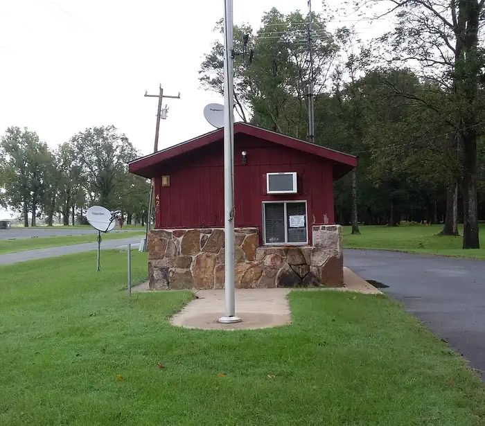
noindex Fewer than 5 campgrounds here clear the indexable bar yet, so this page stays noindex.
Camping near Desha at a glance
- Public campgrounds
- 1 (1 Army Corps of Engineers)
- Getting a site
- 1 reservable
- Distance from Desha
- 122 miles in a straight line
- Elevation
- 169 ft at Pendleton Bend (the only one on record)
- Campsites
- 31 across the 1 campground that state a count
- RVs
- 1 take RVs; hookups at Pendleton Bend; longest stated RV length 115 ft (Pendleton Bend)
Distances are straight-line miles from Desha's point in the US Census Bureau Gazetteer (2025), not driving distances. Every other fact comes from each campground's own sourced record, linked from its page.
More campgrounds within 30 miles of Desha
- Dam Site, 23 miles from Desha in a straight line , Army Corps of Engineers , reservable ; listed under camping near Cleburne.
- John F Kennedy, 23 miles from Desha in a straight line , Army Corps of Engineers , reservable ; listed under camping near Cleburne.
- Old Highway 25, 23 miles from Desha in a straight line , Army Corps of Engineers , reservable ; listed under camping near Cleburne.
- Heber Springs, 27 miles from Desha in a straight line , Army Corps of Engineers , reservable ; listed under camping near Cleburne.
- Hill Creek, 27 miles from Desha in a straight line , Army Corps of Engineers , reservable ; listed under camping near Cleburne.
- Shiloh, 29 miles from Desha in a straight line , Army Corps of Engineers , reservable ; listed under camping near Cleburne.
- Devils Fork, 30 miles from Desha in a straight line , Army Corps of Engineers , reservable ; listed under camping near Cleburne.
Supplies and emergencies near Desha
Nearest emergency room
White River Medical Center
1710 Harrison St, Batesville, AR, 3.9 miles from Desha . (870) 262-1200
Next nearest: Baptist Health Medical Center Heber Springs, 1800 Bypass Road, Heber Springs, AR, 24 miles , (501) 887-3000.
In an emergency, call 911.
Both report emergency services in the CMS Hospital General Information dataset (accessed 2026-09-26) ; the location of Baptist Health Medical Center Heber Springs is from OpenStreetMap, the Census geocoder could not place its address.
- Groceries
-
- Littlefield Express
- Harps
- El Guero Mexican Store
- Fuel
-
- Citgo
- Harps
- Murphy USA
- Propane
-
- AmeriGas
- Pharmacy
-
- Walgreens
- Walling Drug
Not mapped in OpenStreetMap within 25 miles of Desha: RV dump station, potable water fill, laundromat, and ice. Stores, fuel, propane, dump stations, water fill, laundromats, and pharmacies are the nearest few mapped within 25 miles, straight-line, © OpenStreetMap contributors (data as of 2026-10-01; this extract under the ODbL). Hours are as mapped; call ahead.
Common questions
Where can I camp around Desha, AR?
1 public campground is on record near Desha. Nearest first, straight-line from town: Pendleton Bend (122 miles). 1 books through Recreation.gov.
Where can I camp with an RV near Desha, AR?
1 campground near Desha takes RVs: Pendleton Bend. Pendleton Bend has hookups.
Where is the nearest emergency room to Desha, AR?
White River Medical Center, 1710 Harrison St, Batesville, AR, is 3.9 miles from Desha in a straight line and reports emergency services to CMS; phone (870) 262-1200. In an emergency, call 911.
Every campground in the state: camping in Arkansas ; by agency: Army Corps of Engineers campgrounds in Arkansas .