
Spillway
Its sites are reservable through Recreation.gov. Spillway is a Army Corps of Engineers campground near Garland, Arkansas.
Reservable: Recreation.gov
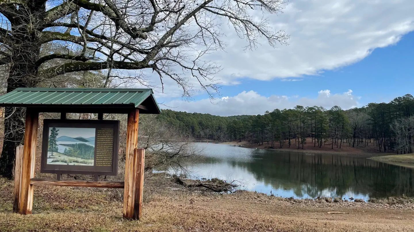
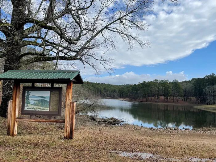
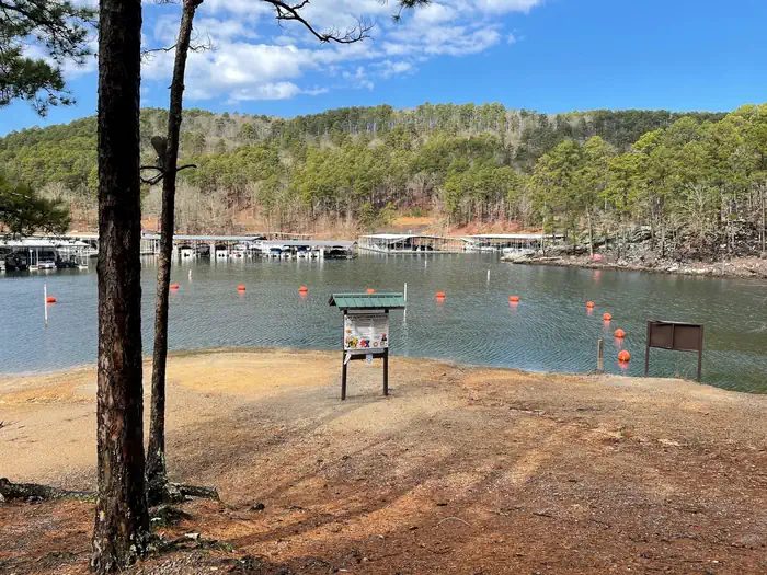

- Army Corps of Engineers
- Managed by
It sits 0.3 miles outside the boundary of Ouachita National Forest; its dispersed-camping rule, ranger offices, and boundary are on publiclandsdb.com.
Getting a site
- Managed by
- Army Corps of Engineers
- Reservations
- Recreation.gov Book a site
- Fee
- Fee unknown, see agency
Source: recreation.gov, accessed 2026-09-29
Access and cell service
- Elevation
- 622 ft
34.5693, -93.2151 in Garland. Open in OpenStreetMap. Map © OpenStreetMap contributors.
Common questions
Do you need a reservation at Spillway?
Sites at Spillway are reserved through Recreation.gov (https://www.recreation.gov/camping/campgrounds/10103089).
Who manages Spillway?
Spillway is managed by the U.S. Army Corps of Engineers.
Around Spillway
Hot springs nearby
Nearest to Spillway, in straight-line miles: Quapaw Baths (hot spring, 10 miles), Buckstaff Bathhouse (hot spring, 10 miles), and Hot Springs National Park (hot spring, 10 miles). Each has its own page on swimholesmap.com.
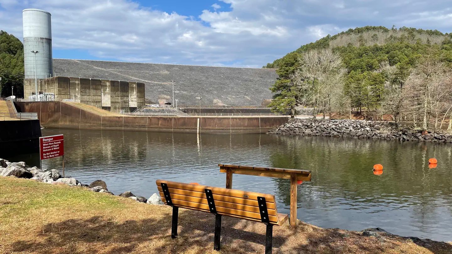 Avery
Avery - Sites
- Not on record
- Season
- Not on record
- Fee
- Not on record
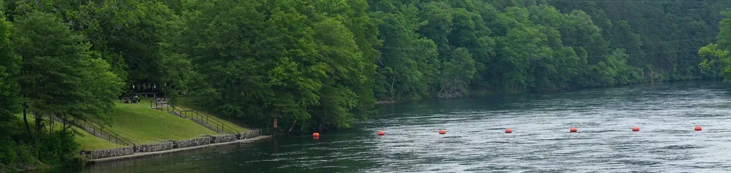 Stephens Park
 - Sites
- 9
- Season
- Not on record
- Fee
- Not on record
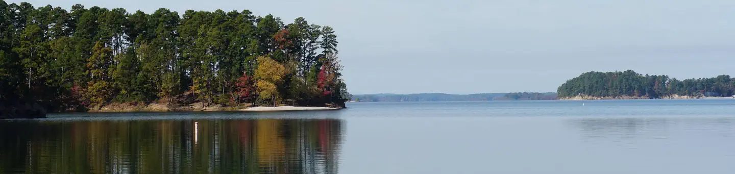 Brady Mountain
 - Sites
- 72
- Season
- Not on record
- Fee
- Not on record
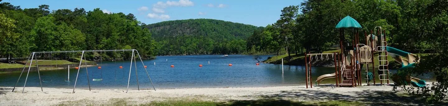 Crystal Springs
 - Sites
- 64
- Season
- Not on record
- Fee
- Not on record
More campgrounds: camping near Garland and campgrounds in Garland.
Sources
- recreation.gov (name, coordinates, manager), accessed 2026-09-29
- recreation.gov (name, coordinates, manager, reservationSystem, reservationSystemName, reservationUrl), accessed 2026-09-29
- epqs.nationalmap.gov (elevationFt), accessed 2026-10-01
Photo credits
- Photo 1: usace, via Recreation.gov, Public domain (US federal government work)
- Photo 2: usace, via Recreation.gov, Public domain (US federal government work)
- Photo 3: usace, via Recreation.gov, Public domain (US federal government work)