
Camping near Marion, Arkansas
Camping near Marion, Arkansas includes 5 public campgrounds on record, 4 reservable. Most (3 of 5) are run by the U.S. Army Corps of Engineers. The nearest, Buffalo Point, is 146 miles from Marion in a straight line, and none is within 15 miles.
noindex Fewer than 5 campgrounds here clear the indexable bar yet, so this page stays noindex.
Camping near Marion at a glance
- Public campgrounds
- 5 (3 Army Corps of Engineers, 2 National Park Service)
- Getting a site
- 4 reservable
- Distance from Marion
- 146 miles (Buffalo Point) to 170 miles (Buck Creek) in a straight line; none within 15 miles
- Elevation
- 481 ft (Rush Campground) to 738 ft (Oakland Park), 5 of 5 on record
- Campsites
- 211 across the 4 campgrounds that state a count
- RVs
- 4 take RVs; hookups at Buffalo Point, Oakland Park, Highway 125 Park Bull Shoals, and Buck Creek; longest stated RV length 65 ft (Buffalo Point)
- Drinking water
- 2 of 5
Distances are straight-line miles from Marion's point in the US Census Bureau Gazetteer (2025), not driving distances. Every other fact comes from each campground's own sourced record, linked from its page.
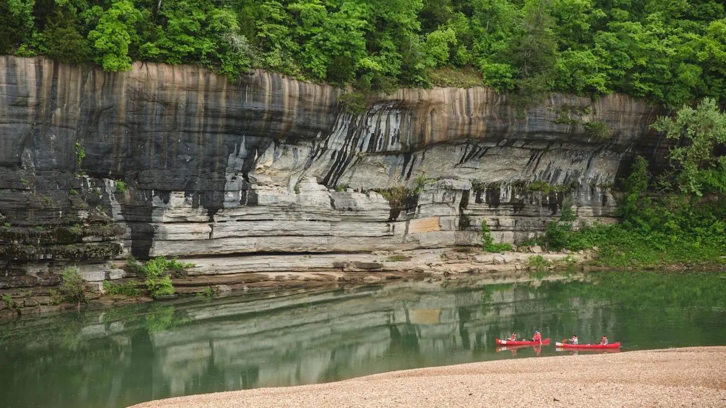 Buffalo Point
 - Sites
- 108
- Season
- Not on record
- Fee
- Not on record
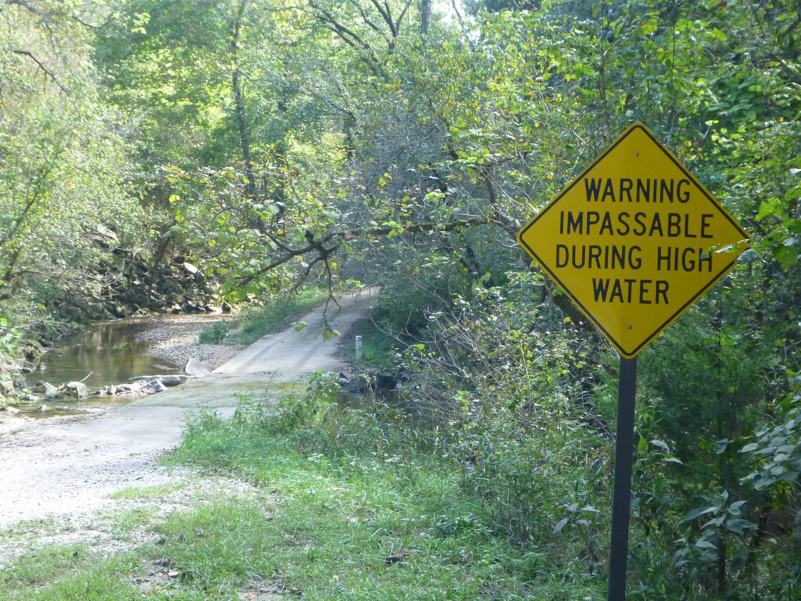 Rush Campground
 - Sites
- Not on record
- Season
- Not on record
- Fee
- Not on record

- Sites
- 30
- Season
- Not on record
- Fee
- Not on record
- Sites
- 37
- Season
- Not on record
- Fee
- Not on record
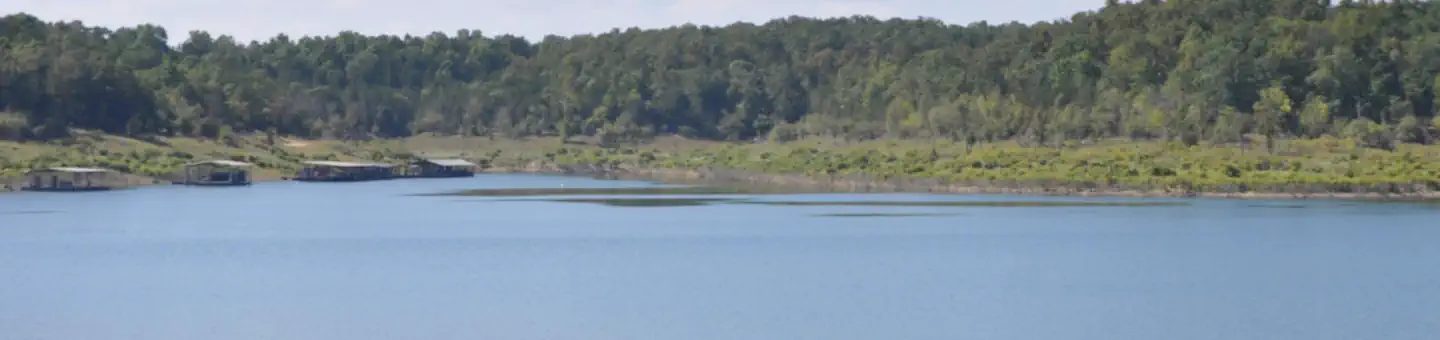 Buck Creek
 - Sites
- 36
- Season
- Not on record
- Fee
- Not on record
No campgrounds match these filters.
Things to do near Marion
Public land and water within 30 miles of Marion, the public land its campgrounds sit in, and landmarks at those campgrounds, nearest first.
- Wapanocca National Wildlife Refuge, a national wildlife refuge whose mapped point is 10 miles from Marion; its hours, camping, hunting and fishing rules, and boundary on publiclandsdb.com.
- T. O. Fuller State Park, a state park whose mapped point is 11 miles from Marion; its hours, entrance fee, and boundary on publiclandsdb.com.
- Meeman-Shelby Forest State Park, a state park whose mapped point is 13 miles from Marion; its hours, entrance fee, and boundary on publiclandsdb.com.
- Meeman-Shelby State Natural Area, a state park whose mapped point is 13 miles from Marion; its hours, entrance fee, and boundary on publiclandsdb.com.
- Parkin Archeological State Park, a state park whose mapped point is 20 miles from Marion; its hours, entrance fee, and boundary on publiclandsdb.com.
- Hampson Archeological Museum State Park, a state park whose mapped point is 27 miles from Marion; its hours, entrance fee, and boundary on publiclandsdb.com.
- Village Creek State Park (Arkansas), a state park whose mapped point is 28 miles from Marion; its hours, entrance fee, and boundary on publiclandsdb.com.
- Buffalo National River, Rush Campground (146 miles from Marion) sits inside this National Park Service unit; publiclandsdb.com has its entrance fees, current alerts and fire restrictions, and boundary.
- Bull Shoals-White River State Park, Oakland Park (160 miles from Marion) sits inside this state park; publiclandsdb.com has its hours, entrance fee, and boundary.
Supplies and emergencies near Marion
Nearest emergency room
Baptist Memorial Hospital-crittenden, Inc
2100 N 7th St, West Memphis, AR, 3.1 miles from Marion . (870) 394-7800
Next nearest: Regional One Health, 877 Jefferson Ave, Memphis, TN, 11 miles , (901) 545-7928.
In an emergency, call 911.
Both report emergency services in the CMS Hospital General Information dataset (accessed 2026-09-26) .
- Groceries
-
- Shamrock Gas
- Shell
- Flash Market
- Fuel
-
- Shell
- Exxon
- Valero
- Pharmacy
-
- Walgreens
- Walgreens
- Madison Pharmacy
- Laundromat
-
- Linen King
- Georgian Hills Coin Laundry
- Mercury Valet
Not mapped in OpenStreetMap within 25 miles of Marion: propane, RV dump station, potable water fill, and ice. Stores, fuel, propane, dump stations, water fill, laundromats, and pharmacies are the nearest few mapped within 25 miles, straight-line, © OpenStreetMap contributors (data as of 2026-10-01; this extract under the ODbL). Hours are as mapped; call ahead.
Common questions
Where can I camp around Marion, AR?
5 public campgrounds are on record near Marion. Nearest first, straight-line from town: Buffalo Point (146 miles), Rush Campground (146 miles), Oakland Park (160 miles), Highway 125 Park Bull Shoals (169 miles), and 1 more. 4 book through Recreation.gov.
Where can I camp with an RV near Marion, AR?
4 campgrounds near Marion take RVs: Buck Creek, Buffalo Point, Highway 125 Park Bull Shoals, and Oakland Park. Buck Creek, Buffalo Point, Highway 125 Park Bull Shoals, and Oakland Park have hookups.
Where can I go tent camping near Marion, AR?
Buffalo Point lists tent or walk-in sites on record.
Where can I camp near Marion with drinking water?
Buffalo Point and Highway 125 Park Bull Shoals have potable water on record.
Where is the nearest emergency room to Marion, AR?
Baptist Memorial Hospital-crittenden, Inc, 2100 N 7th St, West Memphis, AR, is 3.1 miles from Marion in a straight line and reports emergency services to CMS; phone (870) 394-7800. In an emergency, call 911.
Every campground in the state: camping in Arkansas ; by agency: Army Corps of Engineers campgrounds in Arkansas and National Park Service campgrounds in Arkansas .