
Camping near Fredonia, Arizona
Camping near Fredonia, Arizona includes 5 public campgrounds on record, 4 reservable and 1 first-come. Most (4 of 5) are run by the U.S. Forest Service. The nearest, Jacob Lake Campground, is 24 miles from Fredonia in a straight line, and none is within 15 miles. 1 is free, and 1 stays open all year.
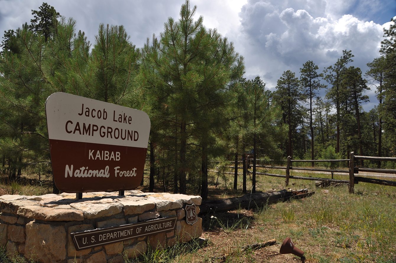 Jacob Lake Campground Jacob Lake Group Campground
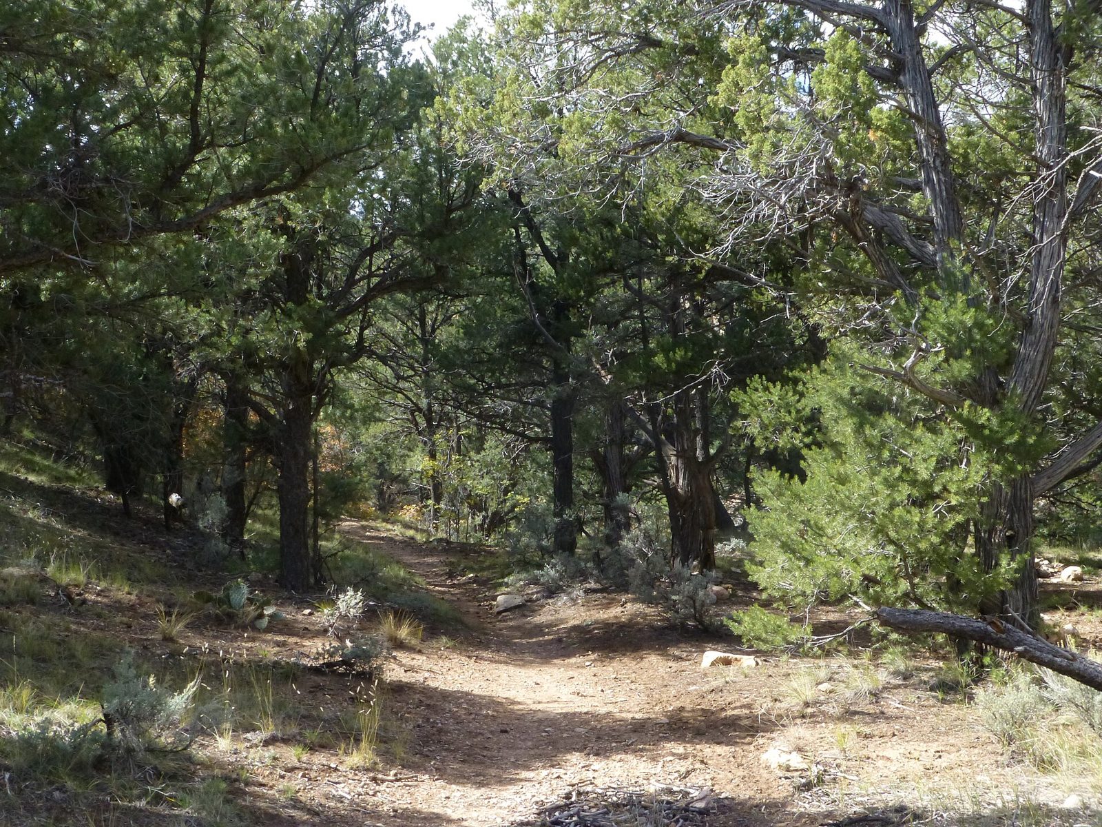 Indian Hollow
 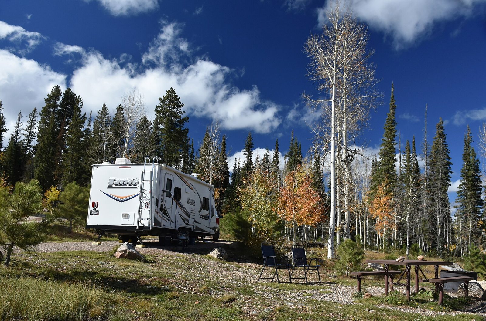 Demotte Campground
 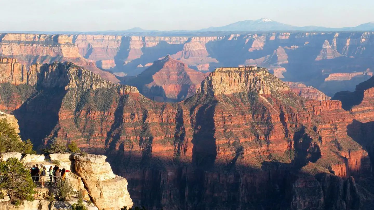 North Rim Campground
 Camping near Fredonia at a glance
- Public campgrounds
- 5 (4 National Forest, 1 National Park Service)
- Getting a site
- 4 reservable and 1 first-come
- Cost
- 1 free; lowest posted fee at Demotte Campground: "Single Site: $30 per night"
- Distance from Fredonia
- 24 miles (Jacob Lake Campground) to 58 miles (North Rim Campground) in a straight line; none within 15 miles
- Elevation
- 6,276 ft (Indian Hollow) to 8,307 ft (North Rim Campground), 3 of 5 on record
- Season
- 1 open all year, 2 seasonal with posted dates
- Campsites
- 181 across the 4 campgrounds that state a count
- RVs
- 3 take RVs; no hookups on record; longest stated RV length 100 ft (Jacob Lake Campground)
- Drinking water
- 1 of 5
Distances are straight-line miles from Fredonia's point in the US Census Bureau Gazetteer (2025), not driving distances. Every other fact comes from each campground's own sourced record, linked from its page.
Reservable Jacob Lake Campground - Agency
- National Forest
- Sites
- 53
- Season
- Not on record
- Fee
- Single Site: $30 per night
- Agency
- National Forest
- Sites
- Not on record
- Season
- May 1 to September 16
- Fee
- Group Site: $125 per night (up to 10 people), $175 (up to 75 people), $225 (up to 100 people)
First-come Indian Hollow - Agency
- National Forest
- Sites
- 3
- Season
- Year-round
- Fee
- Free
Reservable Demotte Campground - Agency
- National Forest
- Sites
- 38
- Season
- Not on record
- Fee
- Single Site: $30 per night
Reservable North Rim Campground - Agency
- National Park Service
- Sites
- 87
- Season
- June 1 to October 15
- Fee
- Not on record
No campgrounds match.
Things to do near Fredonia
Public land and water within 30 miles of Fredonia, the public land its campgrounds sit in, and landmarks at those campgrounds, nearest first.
- Jackson Flat Reservoir fishing, a fishing water whose mapped point is 3.1 miles from Fredonia; stocking record and species on fishypedia.com.
- Coral Pink Sand Dunes State Park, a state park whose mapped point is 12 miles from Fredonia; its hours, entrance fee, and boundary on publiclandsdb.com.
- Pipe Spring National Monument, a National Park Service unit whose mapped point is 14 miles from Fredonia; its entrance fees, current alerts and fire restrictions, and boundary on publiclandsdb.com.
- Baaj Nwaavjo I'tah Kukveni - Ancestral Footprints of the Grand Canyon, a BLM unit whose mapped point is 18 miles from Fredonia; its camping rule, field office, and boundary on publiclandsdb.com.
- Cottonwood Point Wilderness, a wilderness area whose mapped point is 23 miles from Fredonia; its permit and camping rules and boundary on publiclandsdb.com.
- Kaibab National Forest, 4 of the 5 campgrounds here sit inside this national forest, the nearest Jacob Lake Campground at 24 miles from Fredonia; publiclandsdb.com has its dispersed-camping rule, ranger offices, and boundary.
- Canaan Mountain Wilderness, a wilderness area whose mapped point is 28 miles from Fredonia; its permit and camping rules and boundary on publiclandsdb.com.
- Thunder River Trail 23, at Indian Hollow (35 miles from Fredonia): The campground provides access to Thunder River Trail 23 into the Grand Canyon.
- Grand Canyon National Park, North Rim Campground (58 miles from Fredonia) sits inside this National Park Service unit; publiclandsdb.com has its entrance fees, current alerts and fire restrictions, and boundary.
Supplies and emergencies near Fredonia
Nearest emergency room: Kane County Hospital, 355 Main St, Kanab, UT, 6.4 miles from Fredonia , (435) 644-5811. Next nearest: St. George Regional Hospital, 1380 East Medical Center Drive, St George, UT, 58 miles, (435) 251-2100. Both report emergency services in the CMS Hospital General Information dataset (accessed 2026-09-26) ; the location of St. George Regional Hospital is from OpenStreetMap, the Census geocoder could not place its address. In an emergency, call 911.
- Groceries
-
- Short Stop
- Judd Auto
- Honey's Market
- Fuel
-
- Sinclair
- Chevron
- Kelly's Sinclair
- RV dump station
-
- Kanab RV Corral
- J&J RV Park
- Pharmacy
-
- Kanab Drug
Not mapped in OpenStreetMap within 25 miles of Fredonia: propane, potable water fill, laundromat, and ice. Stores, fuel, propane, dump stations, water fill, laundromats, and pharmacies are the nearest few mapped within 25 miles, straight-line, © OpenStreetMap contributors (data as of 2026-09-29; this extract under the ODbL). Hours are as mapped; call ahead.
Common questions
Where can I camp around Fredonia, AZ?
Is there free camping near Fredonia, AZ?
Where can I camp with an RV near Fredonia, AZ?
Where can I go tent camping near Fredonia, AZ?
Where can I camp near Fredonia with drinking water?
Are there year-round campgrounds near Fredonia, AZ?
When is camping season near Fredonia, AZ?
Where is the nearest emergency room to Fredonia, AZ?
Every campground in the state: camping in Arizona ; by agency: National Forest campgrounds in Arizona and National Park Service campgrounds in Arizona ; by county: campgrounds in Coconino .