
Indian Hollow
Its 3 sites are first-come, first-served (no reservations), camping is free, and it is open year-round. Indian Hollow is a National Forest campground near Fredonia, Arizona.
First-come, first-served
 1 / 2
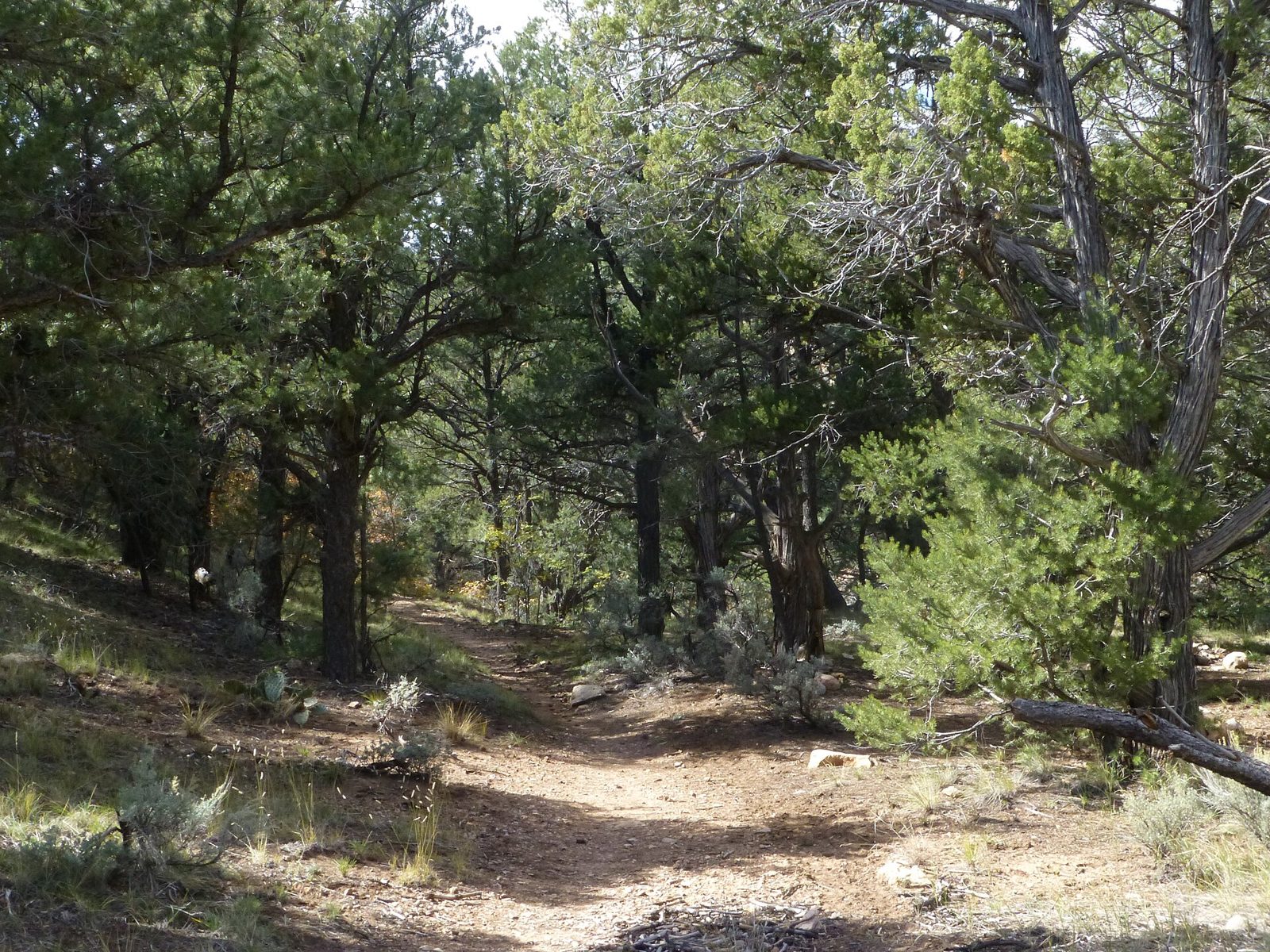
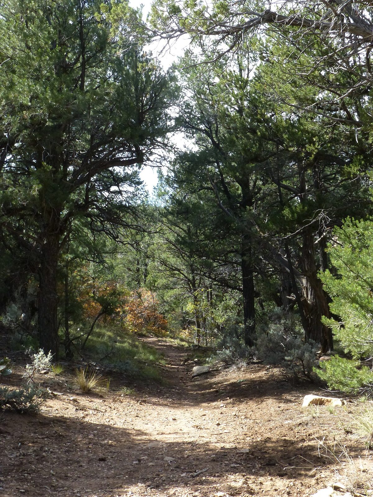
1 / 2The Thunder River Trail, which starts at Indian Hollow, October 2013. Photo: Dyan Bone, U.S. Forest Service, Kaibab National Forest, CC BY-SA 2.0
- Managed by
- National Forest
Indian Hollow sits inside Kaibab National Forest. Its dispersed-camping rule, ranger offices, and boundary are on publiclandsdb.com. It sits 0.4 miles outside the boundary of Kanab Creek Wilderness; its permit and camping rules and boundary are on publiclandsdb.com. It sits 0.4 miles outside the boundary of Grand Canyon National Park; its entrance fees, current alerts and fire restrictions, and boundary are on publiclandsdb.com.
Thunder River Trail 23: The campground provides access to Thunder River Trail 23 into the Grand Canyon. (fs.usda.gov)
Getting a site
- Managed by
- National Forest
- Reservations
- None, first-come
- Fee
- Free
Sources: apps.fs.usda.gov, accessed 2026-09-28; fs.usda.gov, accessed 2026-09-29
Sites and hookups
- Total sites
- 3
- ✓ Toilets
- ✕ Potable water
On site: Toilets. No potable water.
Sources: apps.fs.usda.gov, accessed 2026-09-28; fs.usda.gov, accessed 2026-09-29
Access and cell service
- Elevation
- 6,276 ft
36.4622, -112.4842 in Coconino. Open in OpenStreetMap. Map © OpenStreetMap contributors.
Season and winter services
Indian Hollow is open year-round .
Source: epqs.nationalmap.gov, accessed 2026-09-29
Common questions
Do you need a reservation at Indian Hollow?
How much does it cost to camp at Indian Hollow?
How many campsites does Indian Hollow have?
Is there drinking water at Indian Hollow?
When is Indian Hollow open?
Is there cell service at Indian Hollow?
Who manages Indian Hollow?
Around Indian Hollow
Waterfalls nearby
Nearest to Indian Hollow, in straight-line miles: Beaver Falls (waterfall, 19 miles), Mooney Falls (waterfall, 19 miles), and Havasu Falls (waterfall, 19 miles). Each has its own page on swimholesmap.com.
More campgrounds: camping near Fredonia and campgrounds in Coconino.
Sources
- apps.fs.usda.gov (all fields), accessed 2026-09-28
- fs.usda.gov (all fields), accessed 2026-09-29
- epqs.nationalmap.gov (elevationFt), accessed 2026-09-29
- broadbandmap.fcc.gov (cellCoverage), accessed 2026-09-27
Photo credits
- Photo 1: Dyan Bone, U.S. Forest Service, Kaibab National Forest, CC BY-SA 2.0
- Photo 2: Dyan Bone, U.S. Forest Service, Kaibab National Forest, CC BY-SA 2.0