
Camping near Saguache, Colorado
Camping near Saguache, Colorado includes 4 public campgrounds on record, 1 reservable and 2 first-come. The U.S. Forest Service runs the most, 2 of 4. The nearest, Penitente Canyon Campground, is 19 miles from Saguache in a straight line, and none is within 15 miles. Another 9 public campgrounds filed under nearby towns are within 30 miles of Saguache.
noindex Fewer than 5 campgrounds here clear the indexable bar yet, so this page stays noindex.
Camping near Saguache at a glance
- Public campgrounds
- 4 (2 National Forest, 1 BLM, 1 National Park Service)
- Getting a site
- 1 reservable and 2 first-come
- Distance from Saguache
- 19 miles (Penitente Canyon Campground) to 40 miles (Medano Pass Primitive Road Campsites) in a straight line; none within 15 miles
- Elevation
- 7,915 ft (Penitente Canyon Campground) to 10,000 ft (Luders Creek), 4 of 4 on record
- Campsites
- 17 across the 1 campground that state a count
Distances are straight-line miles from Saguache's point in the US Census Bureau Gazetteer (2025), not driving distances. Every other fact comes from each campground's own sourced record, linked from its page.
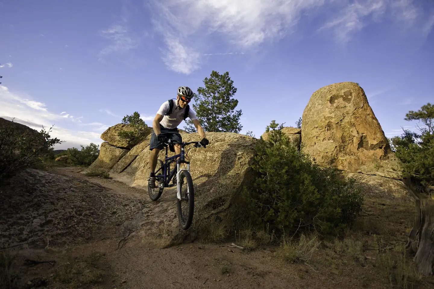 Penitente Canyon Campground
 - Sites
- 17
- Season
- Not on record
- Fee
- Not on record

- Sites
- Not on record
- Season
- Not on record
- Fee
- Day Use:
- Sites
- Not on record
- Season
- Not on record
- Fee
- Day Use:
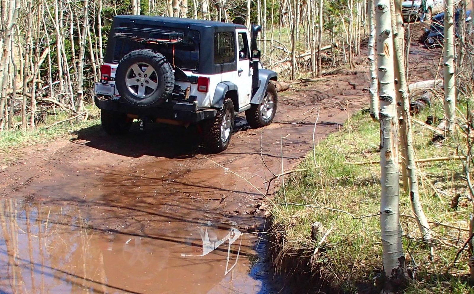 Medano Pass Primitive Road Campsites
 - Sites
- Not on record
- Season
- Not on record
- Fee
- Not on record
More campgrounds within 30 miles of Saguache
- Storm King, 18 miles from Saguache in a straight line , National Forest , first-come (Single Site: $10 per night); listed under camping near La Garita.
- Poso, 20 miles from Saguache in a straight line , National Forest , first-come (Single Site: $10 per night); listed under camping near La Garita.
- O'haver Lake, 24 miles from Saguache in a straight line , National Forest , first-come ($28.00 for overnight use as of 2025. $10.00 for day use as of 2025.); listed under camping near Salida.
- Ohaver Lake, 24 miles from Saguache in a straight line , National Forest , reservable ; listed under camping near Chaffee.
- Hayden Creek, 24 miles from Saguache in a straight line , National Forest , reservable ($22.00 for overnight use as of 2025 summer operating season.); listed under camping near Coaldale.
- North Crestone Creek, 25 miles from Saguache in a straight line , National Forest , first-come (Day Use:); listed under camping near Crestone.
- Coaldale, 25 miles from Saguache in a straight line , National Forest , first-come (Single Site: $22 per night); listed under camping near Coaldale.
- Lake Creek, 29 miles from Saguache in a straight line , National Forest , reservable (Site: $25 per night); listed under camping near Westcliffe.
- Stone Cellar, 30 miles from Saguache in a straight line , National Forest , first-come (Day Use:); listed under camping near Gunnison.
Things to do near Saguache
Public land and water within 30 miles of Saguache, the public land its campgrounds sit in, and landmarks at those campgrounds, nearest first.
- Valley View Hot Springs, a hot spring whose mapped point is 19 miles from Saguache; soaking details on swimholesmap.com.
- Baca National Wildlife Refuge, a national wildlife refuge whose mapped point is 21 miles from Saguache; its hours, camping, hunting and fishing rules, and boundary on publiclandsdb.com.
- Rio Grande National Forest, 2 of the 4 campgrounds here sit inside this national forest, the nearest Buffalo Pass at 22 miles from Saguache; publiclandsdb.com has its dispersed-camping rule, ranger offices, and boundary.
- Lake O'Haver fishing, a fishing water whose mapped point is 24 miles from Saguache; stocking record and species on fishypedia.com.
- San Isabel Lake fishing, a fishing water whose mapped point is 26 miles from Saguache; stocking record and species on fishypedia.com.
- Sangre de Cristo Wilderness, a wilderness area whose mapped point is 27 miles from Saguache; its permit and camping rules and boundary on publiclandsdb.com.
- Great Sand Dunes National Park & Preserve, Medano Pass Primitive Road Campsites (40 miles from Saguache) sits inside this National Park Service unit; publiclandsdb.com has its entrance fees, current alerts and fire restrictions, and boundary.
Supplies and emergencies near Saguache
Nearest emergency room
Rio Grande Hospital
310 CO Rd A, Del Norte, CO, 24 miles from Saguache . (719) 657-2510
Next nearest: San Luis Valley Regional Medical Center, 106 Blanca Ave, Alamosa, CO, 45 miles , (719) 587-1202.
In an emergency, call 911.
Both report emergency services in the CMS Hospital General Information dataset (accessed 2026-09-26) .
- Groceries
-
- Alta
- Saguache Town Market
- Gunbarrel Station
- Fuel
-
- Conoco
- Sinclair
- Gunbarrel Station
- Propane
-
- Jones Oil Co.
Not mapped in OpenStreetMap within 25 miles of Saguache: RV dump station, potable water fill, pharmacy, laundromat, and ice. Stores, fuel, propane, dump stations, water fill, laundromats, and pharmacies are the nearest few mapped within 25 miles, straight-line, © OpenStreetMap contributors (data as of 2026-10-01; this extract under the ODbL). Hours are as mapped; call ahead.
Common questions
Where can I camp around Saguache, CO?
4 public campgrounds are on record near Saguache. Nearest first, straight-line from town: Penitente Canyon Campground (19 miles), Buffalo Pass (22 miles), Luders Creek (25 miles), and Medano Pass Primitive Road Campsites (40 miles). 2 are first-come, first-served with no reservations and 1 books through Recreation.gov.
Where can I go tent camping near Saguache, CO?
Penitente Canyon Campground lists tent or walk-in sites on record.
Where is the nearest emergency room to Saguache, CO?
Rio Grande Hospital, 310 CO Rd A, Del Norte, CO, is 24 miles from Saguache in a straight line and reports emergency services to CMS; phone (719) 657-2510. In an emergency, call 911.
Every campground in the state: camping in Colorado ; by agency: BLM campgrounds in Colorado , National Forest campgrounds in Colorado and National Park Service campgrounds in Colorado .