
Westville Recreation Area
Its sites are reservable through Recreation.gov, camping costs Site: $30–$60 per night, and it is open from 05-20 to 09-04. Westville Recreation Area is a Army Corps of Engineers campground near Worcester, Massachusetts.
Reservable: Recreation.gov
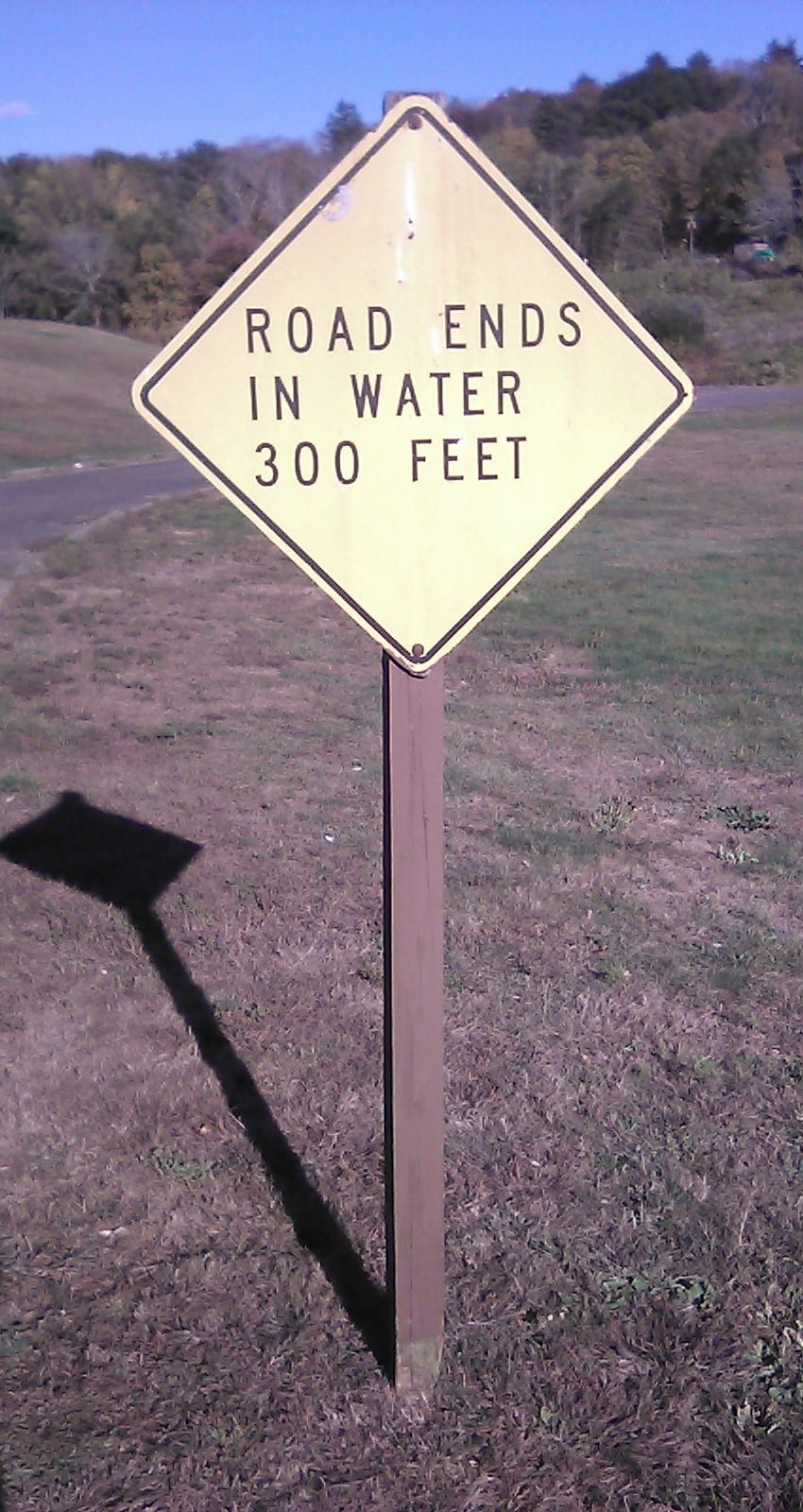
- Army Corps of Engineers
- Managed by
Getting a site
- Managed by
- Army Corps of Engineers
- Reservations
- Recreation.gov Book a site
- Fee
- Site: $30–$60 per night
Source: recreation.gov, accessed 2026-09-30
What's there
- ✓ Toilets
- ✓ Potable water
- ✓ Pets allowed
On site: Toilets, potable water, and pets allowed.
Rules
- Pets
- Allowed
Source: recreation.gov, accessed 2026-09-30
Access and cell service
- Elevation
- 530 ft
42.0728, -72.0628 in Worcester. Open in OpenStreetMap. Map © OpenStreetMap contributors.
Season and winter services
Westville Recreation Area is open from 05-20 to 09-04 , at 530 ft.
Sources: recreation.gov, accessed 2026-09-30; epqs.nationalmap.gov, accessed 2026-10-01
Common questions
Do you need a reservation at Westville Recreation Area?
Sites at Westville Recreation Area are reserved through Recreation.gov (https://www.recreation.gov/camping/campgrounds/249997).
How much does it cost to camp at Westville Recreation Area?
Camping at Westville Recreation Area costs Site: $30–$60 per night.
Is there drinking water at Westville Recreation Area?
Yes, Westville Recreation Area has potable water. It also has toilets.
Are dogs allowed at Westville Recreation Area?
Yes, pets are allowed at Westville Recreation Area.
When is Westville Recreation Area open?
Westville Recreation Area is open from 05-20 to 09-04.
Who manages Westville Recreation Area?
Westville Recreation Area is managed by the U.S. Army Corps of Engineers.
Around Westville Recreation Area

More campgrounds: camping near Worcester and campgrounds in Worcester.
Sources
- recreation.gov (name, coordinates, manager, reservationSystem, reservationSystemName, reservationUrl, toilets, water, petsAllowed, fee, season.open, season.close), accessed 2026-09-30
- epqs.nationalmap.gov (elevationFt), accessed 2026-10-01
Photo credits
- Photo 1: PeterCooperJr, CC0