
Slate Creek Campground - Back Loop
Its sites are first-come, first-served (no reservations), and camping is free. Slate Creek Campground - Back Loop is a National Forest campground near Darby, Montana.
First-come, first-served

- National Forest
- Managed by
Slate Creek Campground - Back Loop sits inside Bitterroot National Forest. Its dispersed-camping rule, ranger offices, and boundary are on publiclandsdb.com.
Getting a site
- Managed by
- National Forest
- Reservations
- None, first-come
- Fee
- Free
Source: apps.fs.usda.gov, accessed 2026-09-30
What's there
- ✓ Toilets
- ✓ Fire rings
- ✕ Potable water
On site: Toilets and fire rings. No potable water.
Access and cell service
- Elevation
- 4,763 ft
45.6981, -114.2819 in Ravalli. Open in OpenStreetMap. Map © OpenStreetMap contributors.
Common questions
Do you need a reservation at Slate Creek Campground - Back Loop?
No. Slate Creek Campground - Back Loop is first-come, first-served: there is no reservation system, so arrive early to claim an open site.
How much does it cost to camp at Slate Creek Campground - Back Loop?
Camping at Slate Creek Campground - Back Loop is free.
Is there drinking water at Slate Creek Campground - Back Loop?
No. Slate Creek Campground - Back Loop has no potable water, so bring all the water you need.
Who manages Slate Creek Campground - Back Loop?
Slate Creek Campground - Back Loop is managed by the U.S. Forest Service.
Around Slate Creek Campground - Back Loop
Lake Como's mapped center point is 25 miles from Slate Creek Campground - Back Loop in a straight line. Current water level: Lake Como water level on reservoirfinder.com.
- Sites
- Not on record
- Season
- Not on record
- Fee
- Free
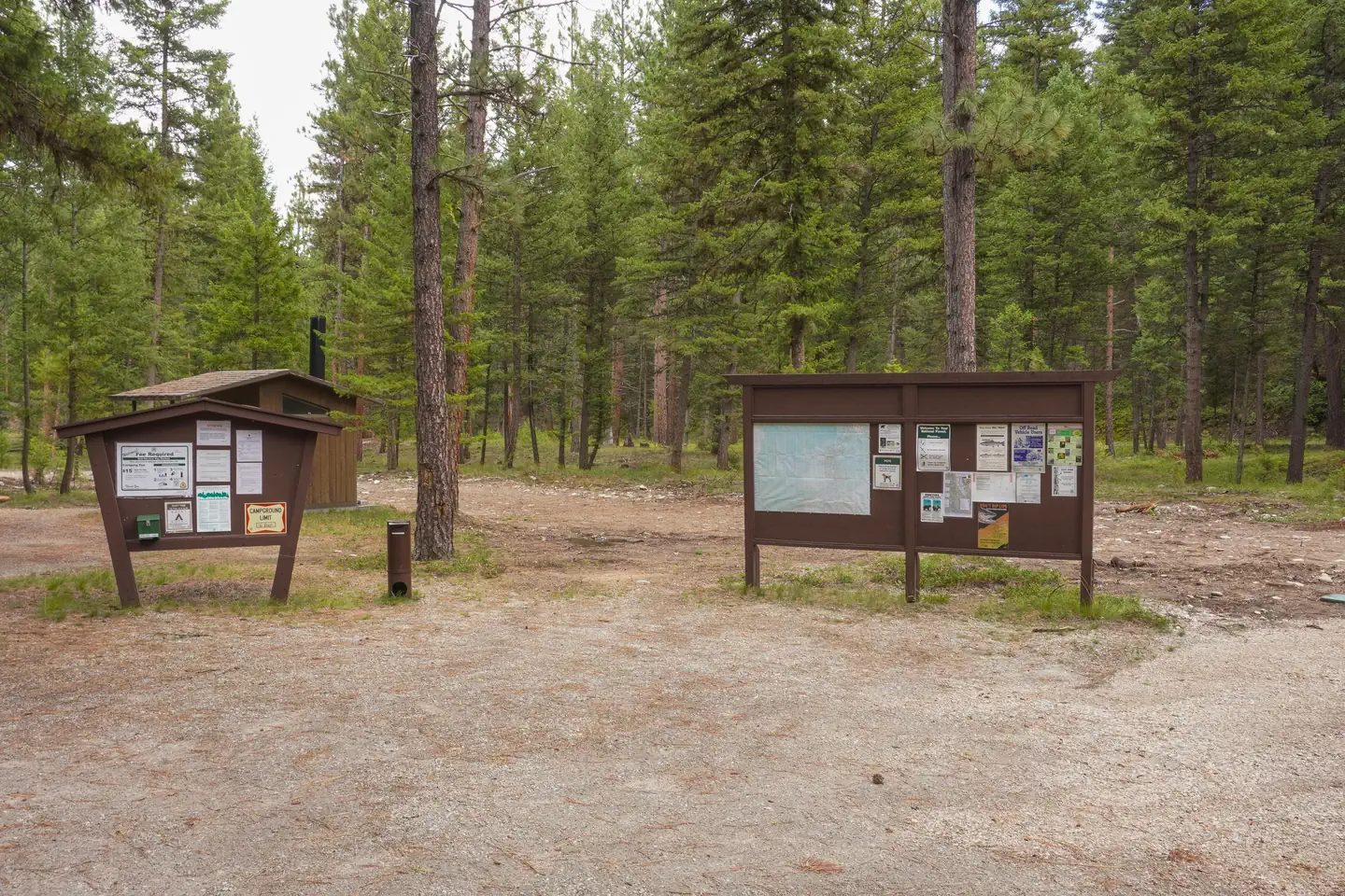 Rombo Campground
 - Sites
- 16
- Season
- Not on record
- Fee
- Single Site: $15 per night
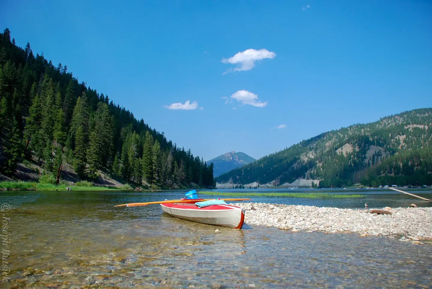 Alta Campground
 - Sites
- 14
- Season
- Not on record
- Fee
- Single Site: $15 per night
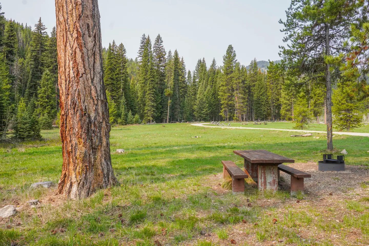 Fales Flat Campground
 - Sites
- 3
- Season
- Not on record
- Fee
- Not on record
More campgrounds: camping near Darby and campgrounds in Ravalli.
Sources
- apps.fs.usda.gov (all fields), accessed 2026-09-30
- epqs.nationalmap.gov (elevationFt), accessed 2026-10-01