
Chewaucan Crossing Campground / Trailhead
Its 5 sites are first-come, first-served (no reservations), camping is free, and it is open from May 15 to October 15. Chewaucan Crossing Campground / Trailhead is a National Forest campground near Paisley, Oregon.
First-come, first-served
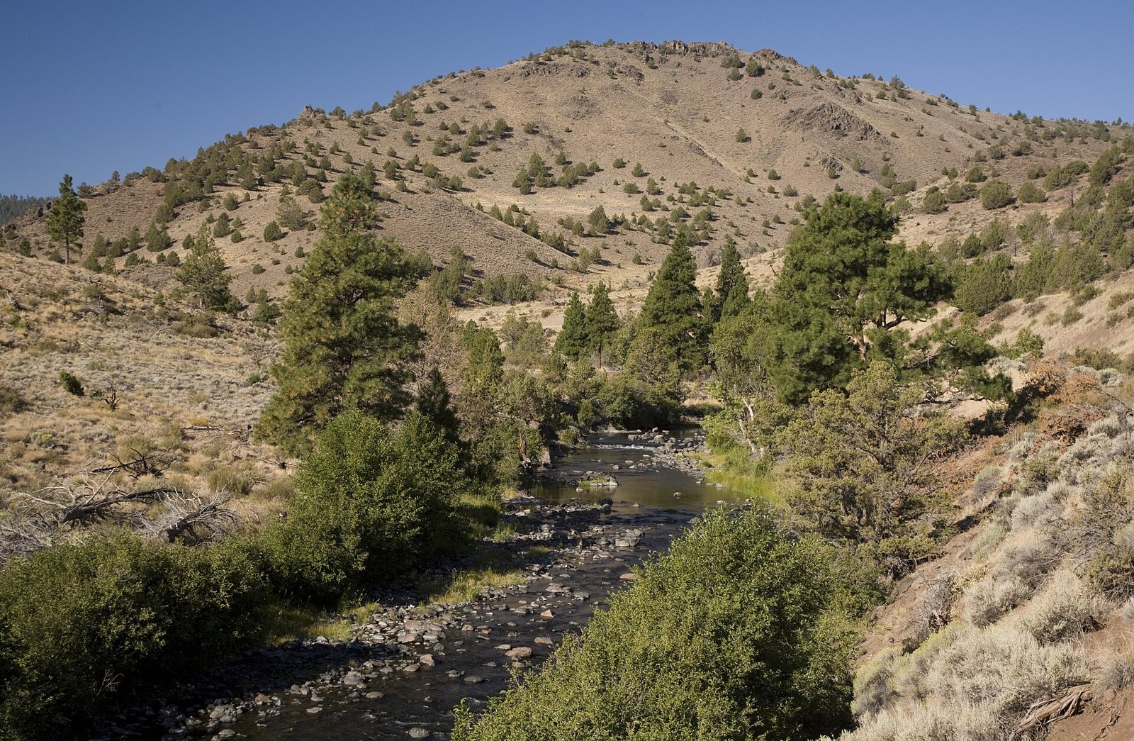
 1 / 2
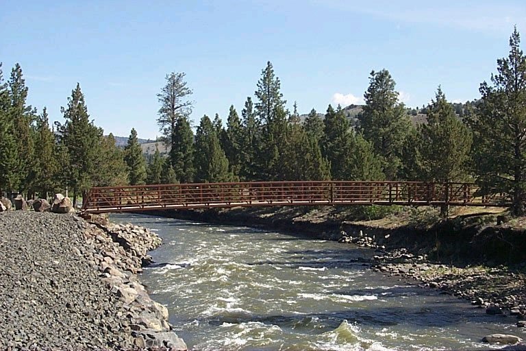
1 / 2The pedestrian bridge over the Chewaucan River on the Chewaucan Crossing Trail. Photo: U.S. Forest Service, via Wikimedia Commons, Public domain (US federal government work, 17 U.S.C. 105)
- Managed by
- National Forest
Chewaucan Crossing Campground / Trailhead sits inside Fremont-Winema National Forest. Its dispersed-camping rule, ranger offices, and boundary are on publiclandsdb.com.
Fremont National Recreation Trail #160: The trailhead in the campground reaches the Fremont National Recreation Trail across a pedestrian bridge over the Chewaucan River, north to Yamsay Mountain or south to Cox Pass. (fs.usda.gov)
Getting a site
- Managed by
- National Forest
- Reservations
- None, first-come
- Fee
- Free
Source: fs.usda.gov, accessed 2026-09-29
Sites and hookups
- Total sites
- 5
- ✓ Toilets
- ✓ Fire rings
- ✕ Potable water
On site: Toilets and fire rings. No potable water.
Source: fs.usda.gov, accessed 2026-09-29
Rules
- Stay limit
- 14 days; 28 days total per calendar year
Source: fs.usda.gov, accessed 2026-09-29
Access and cell service
- Elevation
- 4,791 ft
42.6158, -120.6063 in Lake. Open in OpenStreetMap. Map © OpenStreetMap contributors.
Season and winter services
Chewaucan Crossing Campground / Trailhead is open from May 15 to October 15 , at 4,791 ft.
Sources: epqs.nationalmap.gov, accessed 2026-09-29; fs.usda.gov, accessed 2026-09-29
Common questions
Do you need a reservation at Chewaucan Crossing Campground / Trailhead?
How much does it cost to camp at Chewaucan Crossing Campground / Trailhead?
How many campsites does Chewaucan Crossing Campground / Trailhead have?
Is there drinking water at Chewaucan Crossing Campground / Trailhead?
When is Chewaucan Crossing Campground / Trailhead open?
How long can you stay at Chewaucan Crossing Campground / Trailhead?
Is there cell service at Chewaucan Crossing Campground / Trailhead?
Who manages Chewaucan Crossing Campground / Trailhead?
Around Chewaucan Crossing Campground / Trailhead
The nearest lake with a fishing page is Ana River, whose mapped center point is 22 miles away in a straight line. Stocking record and species: Ana River fishing on fishypedia.com.
Hot springs nearby
The nearest hot spring to Chewaucan Crossing Campground / Trailhead, in a straight line: Summer Lake Hot Springs (hot spring, 7.9 miles). Each has its own page on swimholesmap.com.
 Reservable Marsters Spring First-come Jones Crossing First-come Campbell Lake Campground
  First-come Deadhorse Lake Campground / Trailhead
 More campgrounds: camping near Paisley and campgrounds in Lake.
Sources
- apps.fs.usda.gov (all fields), accessed 2026-09-28
- epqs.nationalmap.gov (elevationFt), accessed 2026-09-29
- broadbandmap.fcc.gov (cellCoverage), accessed 2026-09-27
- fs.usda.gov (sites, season, fee, water, toilets, fireRings, notableFeature), accessed 2026-09-29
- fs.usda.gov (stayLimit), accessed 2026-09-29
Photo credits
- Photo 1: U.S. Forest Service, via Wikimedia Commons, Public domain (US federal government work, 17 U.S.C. 105)
- Photo 2: U.S. Forest Service, Pacific Northwest Region, via Wikimedia Commons, Public domain (US federal government work, 17 U.S.C. 105)