
Camping near Powers, Oregon
Camping near Powers, Oregon includes 9 public campgrounds on record, 1 reservable and 7 first-come. Most (8 of 9) are run by the U.S. Forest Service. The nearest, Powers County Park Campground, is 0.6 miles from Powers in a straight line, and 8 of 9 are within 15 miles. 4 are free, and 1 stays open all year. Another 19 public campgrounds filed under nearby towns are within 30 miles of Powers.

Camping near Powers at a glance
- Public campgrounds
- 9 (8 National Forest, 1 County)
- Getting a site
- 1 reservable and 7 first-come
- Cost
- 4 free; lowest posted fee at Rock Creek: "Single Site: $6 per night; additional vehicle $3 per night"
- Distance from Powers
- 0.6 miles (Powers County Park Campground) to 16 miles (Rogue River Dispersed Campsites) in a straight line; 8 within 15 miles
- Elevation
- 268 ft (Rogue River Dispersed Campsites) to 2,339 ft (Eden Valley), 9 of 9 on record
- Season
- 1 open all year
- Campsites
- 120 across the 8 campgrounds that state a count
- RVs
- 1 take RVs; hookups at Powers County Park Campground
- Drinking water
- 1 of 9
Distances are straight-line miles from Powers's point in the US Census Bureau Gazetteer (2025), not driving distances. Every other fact comes from each campground's own sourced record, linked from its page.
- Agency
- County
- Sites
- 70
- Season
- Year-round
- Fee
- $23/night hookup ($28 Fri, Sat, holidays), $17 no hookup ($22); cabins $61 ($66); $12 online res. fee
- Agency
- National Forest
- Sites
- 5
- Season
- Not on record
- Fee
- Free
- Agency
- National Forest
- Sites
- 2
- Season
- Not on record
- Fee
- Free
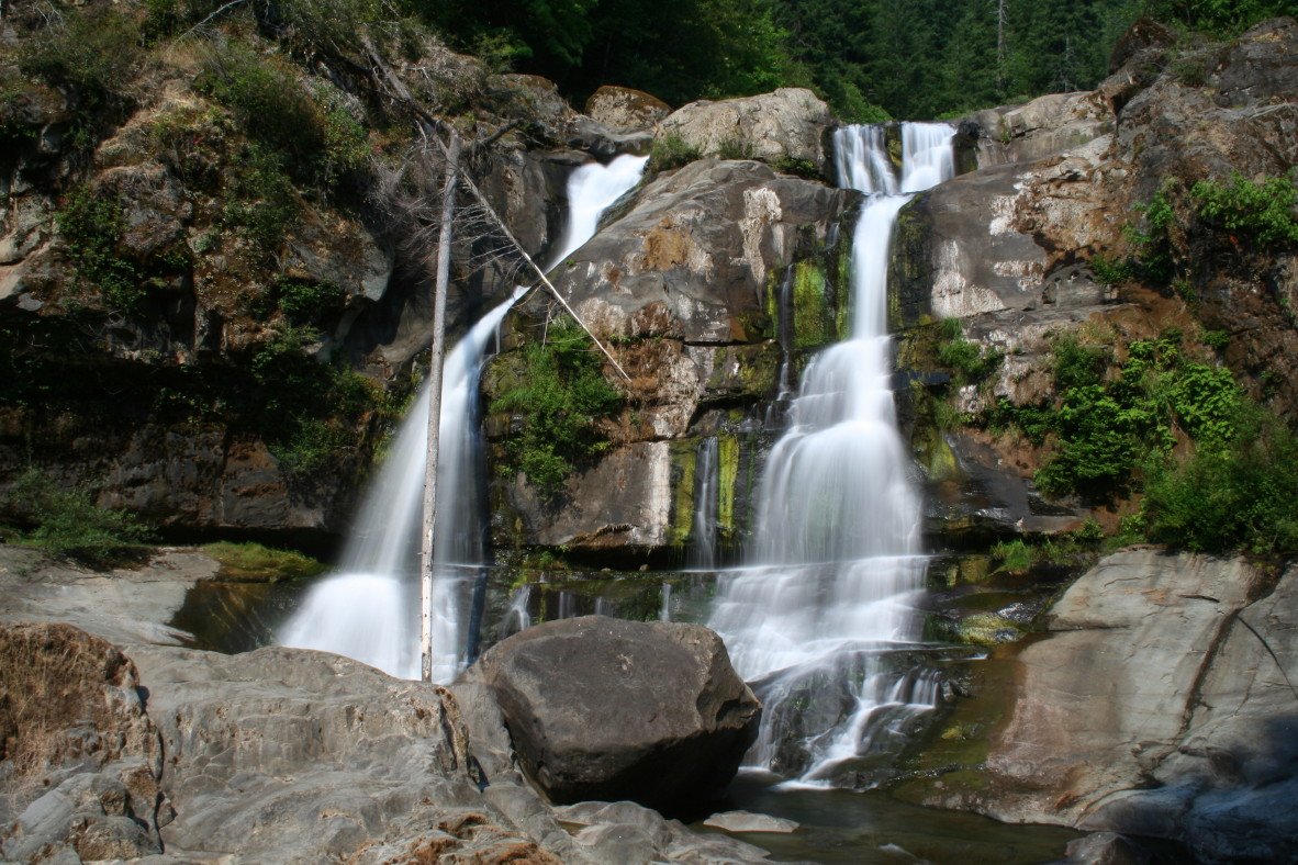 First-come Daphne Grove
 - Agency
- National Forest
- Sites
- 14
- Season
- Not on record
- Fee
- Single Site: $10 per night
- Agency
- National Forest
- Sites
- 11
- Season
- Not on record
- Fee
- Free
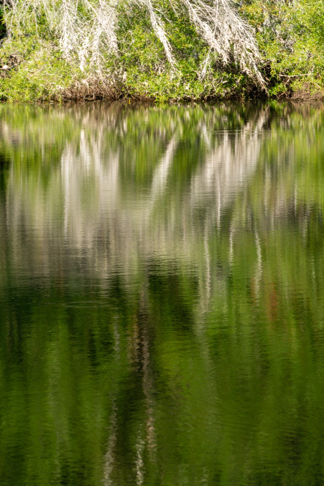 First-come Sru Lake
 - Agency
- National Forest
- Sites
- 6
- Season
- Not on record
- Fee
- Free
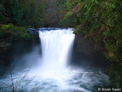 First-come Island
 - Agency
- National Forest
- Sites
- 5
- Season
- Not on record
- Fee
- Single Site: $10 per night
- Agency
- National Forest
- Sites
- 7
- Season
- Not on record
- Fee
- Single Site: $6 per night; additional vehicle $3 per night
- Agency
- National Forest
- Sites
- Not on record
- Season
- Not on record
- Fee
- Not on record
No campgrounds match.
More campgrounds within 30 miles of Powers
- Sixes River Campground OR, 13 miles from Powers in a straight line , BLM , reservable ($16 single site; $8 additional vehicle; $6 day use); listed under camping near Port Orford.
- Laird Lake, 14 miles from Powers in a straight line , National Forest , first-come (free); listed under camping near Port Orford.
- Butler Bar, 15 miles from Powers in a straight line , National Forest , first-come (free); listed under camping near Port Orford.
- Sunshine Bar, 17 miles from Powers in a straight line , National Forest , first-come (free); listed under camping near Port Orford.
- Foster Bar Campground, 17 miles from Powers in a straight line , National Forest , first-come (Single Site: $15 per night); listed under camping near Agness.
- Edson Creek Campground (OR), 18 miles from Powers in a straight line , BLM , reservable ; listed under camping near Port Orford.
- Illahe Campground, 19 miles from Powers in a straight line , National Forest , first-come (free); listed under camping near Gold Beach.
- Lobster Creek Camp, 21 miles from Powers in a straight line , County , reservable (Exclusive group use (up to 150): $450/night May 1 to Sept. 30; $600 for 5 days/4 nights off season); listed under camping near Gold Beach.
- Boice Cope Park Campground, 22 miles from Powers in a straight line , County , reservable ($45/night RV water/electric, $40 lake view, $35 RV no hookups, $25 tent (high season); lower off-season; $10 res. fee); listed under camping near Langlois.
- Humbug Mountain State Park, 23 miles from Powers in a straight line , State Park , reservable (Residents: electric $29-$55, tent $20-$33 a night (2026 statewide ranges)); listed under camping near Port Orford.
- Bullards Beach State Park, 25 miles from Powers in a straight line , State Park , reservable (Residents: full hookup $31-$60, electric $29-$55, horse $20-$45 a night (2026 statewide ranges)); listed under camping near Bandon.
- Cape Blanco State Park, 25 miles from Powers in a straight line , State Park , reservable (Residents: full hookup $31-$60, electric $29-$55, horse $20-$45 a night (2026 statewide ranges)); listed under camping near Port Orford.
- Oak Flat Campground, 25 miles from Powers in a straight line , National Forest , first-come (free); listed under camping near Agness.
- LaVerne County Park Campground, 26 miles from Powers in a straight line , County , reservable ($23/night hookup ($28 Fri, Sat, holidays), $17 no hookup ($22); $12 online reservation fee); listed under camping near Coquille.
- Park Creek Campground, 27 miles from Powers in a straight line , BLM , first-come (No fees); listed under camping near Coquille.
- Skull Creek Campground, 27 miles from Powers in a straight line , BLM , first-come (No fees); listed under camping near Glendale.
- Quosatana Campground, 28 miles from Powers in a straight line , National Forest , first-come (Single Site: $20 per night; additional vehicle $5 per night); listed under camping near Gold Beach.
- Lobster Creek Campground, 29 miles from Powers in a straight line , National Forest , first-come (Single Site: $15 per night; additional vehicle $5 per night); listed under camping near Gold Beach.
- Wildhorse, 29 miles from Powers in a straight line , National Forest , first-come (free); listed under camping near Gold Beach.
Things to do near Powers
Public land and water within 30 miles of Powers, the public land its campgrounds sit in, and landmarks at those campgrounds, nearest first.
- Powers pond and Steam Donkey, at Powers County Park Campground (0.6 miles from Powers): A stocked 30-plus-acre pond (trout, bass, catfish, crappie; non-motorized boats) and a displayed early-1900s steam logging yarder, near the South Fork Coquille River.
- Rogue River-Siskiyou National Forests, 8 of the 9 campgrounds here sit inside this national forest, the nearest Myrtle Grove at 7.4 miles from Powers; publiclandsdb.com has its dispersed-camping rule, ranger offices, and boundary.
- Powers to Glendale Bike Route, at Buck Creek (9.9 miles from Powers): A two-site campground on the Powers to Glendale Bike Route, six miles from Panther Ridge Trail #1253 to Hanging Rock.
- Coquille River Falls Trail #1257, at Daphne Grove (10 miles from Powers): On the South Fork Coquille River 14 miles south of Powers; the nearby Coquille River Falls Trail winds through old-growth Douglas-fir, hemlock and Port Orford cedar.
- Glendale-Powers Bicycle Recreation Area, at Eden Valley (11 miles from Powers): The campsites lie along the Glendale-Powers Bicycle Recreation Area, a road-cycling route past waterfalls in the southern Oregon Coast Range.
- Coquille River Falls Trail #1257, at Island (11 miles from Powers): Nearby trail through old-growth Douglas-fir, hemlock and Port Orford cedar to Coquille River Falls on the South Fork Coquille River.
- Coquille River Falls Trail, at Rock Creek (12 miles from Powers): Seven-site creekside camp on Rock Creek, a South Fork Coquille tributary; the Coquille River Falls Trail #1257 and Big Tree Trail #1150 are a short drive away.
- Copper Salmon Wilderness, a wilderness area whose mapped point is 13 miles from Powers; its permit and camping rules and boundary on publiclandsdb.com.
- Wild Rogue Wilderness, Rogue River Dispersed Campsites (16 miles from Powers) sits inside this wilderness area; publiclandsdb.com has its permit and camping rules and boundary.
- Grassy Knob Wilderness, a wilderness area whose mapped point is 17 miles from Powers; its permit and camping rules and boundary on publiclandsdb.com.
Supplies and emergencies near Powers
Nearest emergency room: Coquille Valley Hospital, 940 E 5th St, Coquille, OR, 21 miles from Powers , (541) 396-3101. Next nearest: Southern Coos Hospital & Health Center, 900 11th St SE, Bandon, OR, 23 miles, (541) 347-2426. Both report emergency services in the CMS Hospital General Information dataset (accessed 2026-09-26) . In an emergency, call 911.
- Groceries
-
- Powers Market
- Bridge Country Store
- Fat Albert's Mini Mart
- Fuel
-
- Pacific Pride
- 76
- Mobil
- Pharmacy
-
- Sempert's Drug
- Coquille Valley Hospital Community Pharmacy
- Safeway Pharmacy
- Laundromat
-
- Valley Laundry
- Lydiannas
- Busy Bubbles Laundromat and Car Wash
Not mapped in OpenStreetMap within 25 miles of Powers: propane, RV dump station, potable water fill, and ice. Stores, fuel, propane, dump stations, water fill, laundromats, and pharmacies are the nearest few mapped within 25 miles, straight-line, © OpenStreetMap contributors (data as of 2026-09-29; this extract under the ODbL). Hours are as mapped; call ahead.
Common questions
Where can I camp around Powers, OR?
Is there free camping near Powers, OR?
Where can I camp with an RV near Powers, OR?
Where can I go tent camping near Powers, OR?
Where can I camp near Powers with drinking water?
Are there year-round campgrounds near Powers, OR?
Where is the nearest emergency room to Powers, OR?
Every campground in the state: camping in Oregon ; by agency: County campgrounds in Oregon and National Forest campgrounds in Oregon ; by county: campgrounds in Coos and campgrounds in Curry .