
Daphne Grove
Its 14 sites are first-come, first-served (no reservations), and camping costs Single Site: $10 per night. Daphne Grove is a National Forest campground near Powers, Oregon.
First-come, first-served
 1 / 2
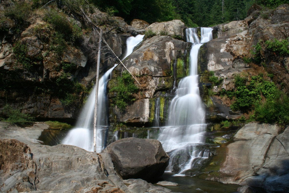
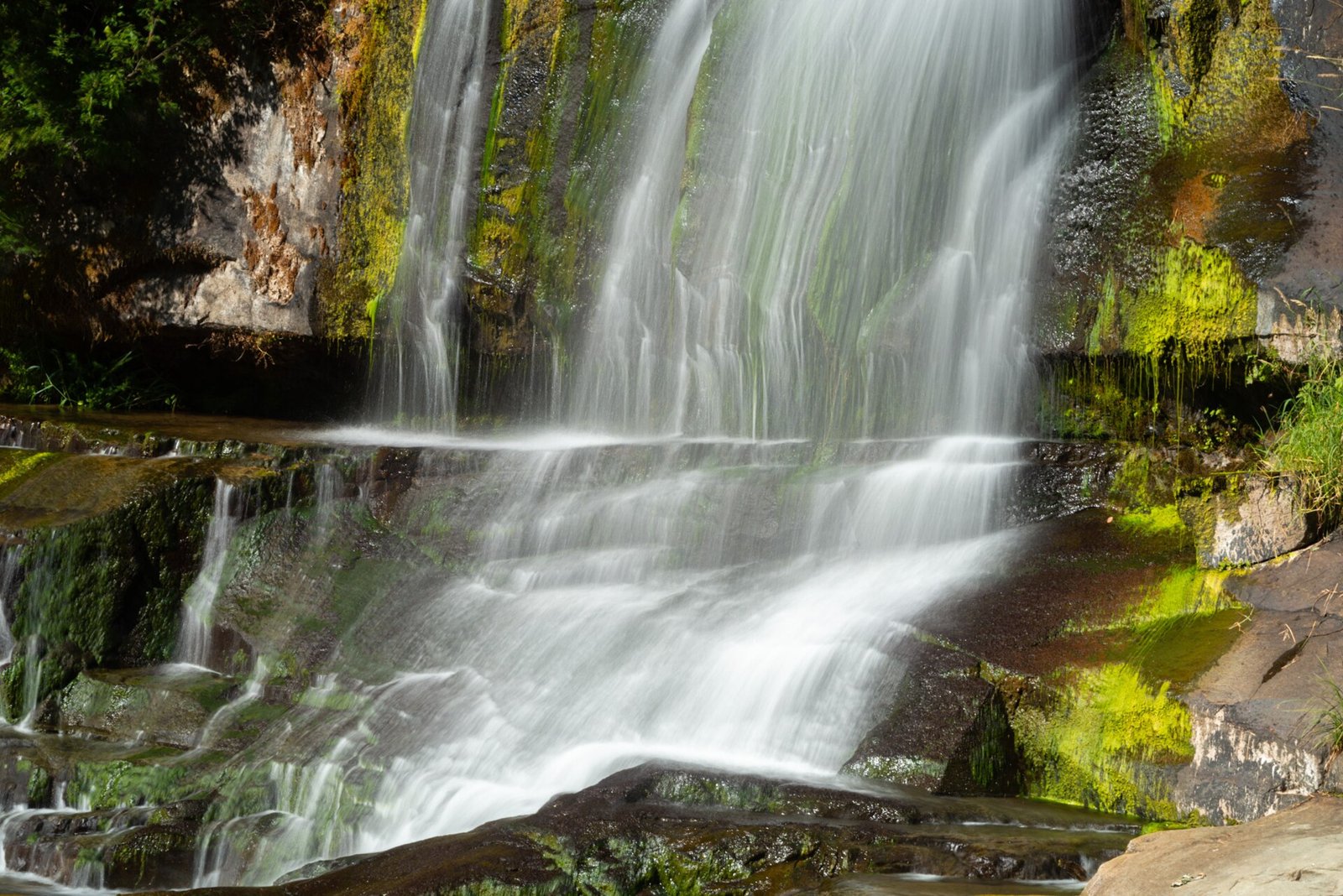
1 / 2Coquille River Falls, on the trail near Daphne Grove. Photo: Headwes at English Wikipedia, CC BY-SA 3.0
- Managed by
- National Forest
- Access road
- Paved
Daphne Grove sits inside Rogue River-Siskiyou National Forests. Its dispersed-camping rule, ranger offices, and boundary are on publiclandsdb.com.
Coquille River Falls Trail #1257: On the South Fork Coquille River 14 miles south of Powers; the nearby Coquille River Falls Trail winds through old-growth Douglas-fir, hemlock and Port Orford cedar. (fs.usda.gov)
Getting a site
- Managed by
- National Forest
- Reservations
- None, first-come
- Fee
- Single Site: $10 per night
Source: fs.usda.gov, accessed 2026-09-29
Sites and hookups
- Total sites
- 14
- ✓ Toilets
- ✓ Fire rings
- ✓ Pets allowed
- ✕ Potable water
On site: Toilets, fire rings, and pets allowed. No potable water.
Source: fs.usda.gov, accessed 2026-09-29
Rules
- Stay limit
- 14 days
- Quiet hours
- 10 p.m. to 6 a.m.
- Pets
- Allowed
Source: fs.usda.gov, accessed 2026-09-29
Access and cell service
- Access road
- Paved
- Elevation
- 800 ft
42.7360, -124.0540 in Coos. Open in OpenStreetMap. Map © OpenStreetMap contributors.
Common questions
Do you need a reservation at Daphne Grove?
How much does it cost to camp at Daphne Grove?
How many campsites does Daphne Grove have?
Is there drinking water at Daphne Grove?
Are dogs allowed at Daphne Grove?
How long can you stay at Daphne Grove?
Is there cell service at Daphne Grove?
Who manages Daphne Grove?
Around Daphne Grove
Public land within 15 miles: Wild Rogue Wilderness (6.3 miles to its center) , Copper Salmon Wilderness (7.8 miles to its center) , and Grassy Knob Wilderness (14 miles to its center) ; publiclandsdb.com has each unit's camping rules and boundary.
More campgrounds: camping near Powers and campgrounds in Coos.
Sources
- apps.fs.usda.gov (all fields), accessed 2026-09-28
- broadbandmap.fcc.gov (cellCoverage), accessed 2026-09-27
- fs.usda.gov (sites, stayLimit, petsAllowed, quietHours, toilets, water, accessRoad, fee, notableFeature), accessed 2026-09-29
Photo credits
- Photo 1: Headwes at English Wikipedia, CC BY-SA 3.0
- Photo 2: Gary Halvorson, Oregon State Archives, CC BY 4.0