
Honey Hill
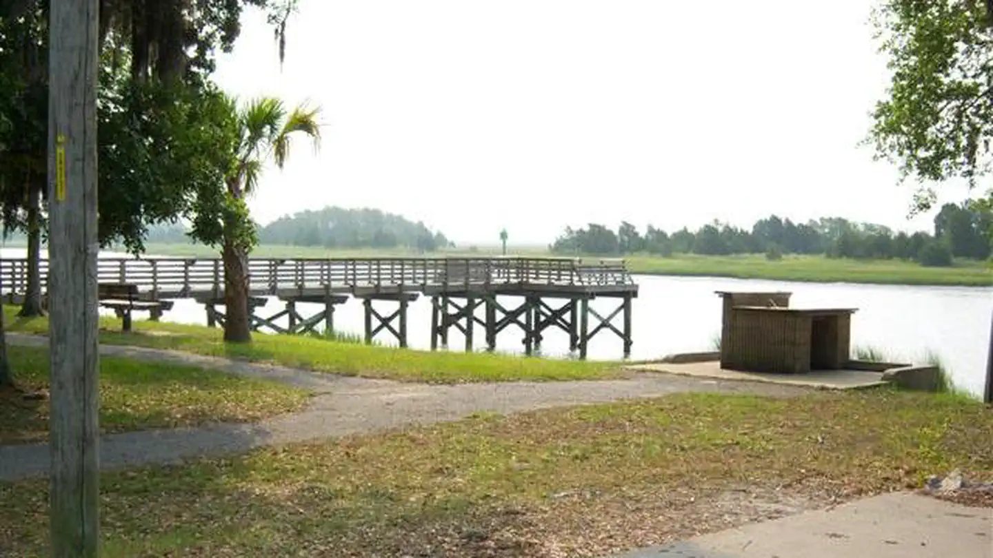
Its sites are first-come, first-served (no reservations), and camping is free. Honey Hill is a National Forest campground near McClellanville, South Carolina.
First-come, first-served

- National Forest
- Managed by
Honey Hill sits inside Francis Marion and Sumter National Forests. Its dispersed-camping rule, ranger offices, and boundary are on publiclandsdb.com.
Getting a site
- Managed by
- National Forest
- Reservations
- None, first-come
- Fee
- Free
Source: apps.fs.usda.gov, accessed 2026-09-30
What's there
- ✓ Toilets
- ✕ Potable water
On site: Toilets. No potable water.
Access and cell service
- Elevation
- 32 ft
33.1742, -79.5618 in Berkeley. Open in OpenStreetMap. Map © OpenStreetMap contributors.
Common questions
Do you need a reservation at Honey Hill?
No. Honey Hill is first-come, first-served: there is no reservation system, so arrive early to claim an open site.
How much does it cost to camp at Honey Hill?
Camping at Honey Hill is free.
Is there drinking water at Honey Hill?
No. Honey Hill has no potable water, so bring all the water you need.
Who manages Honey Hill?
Honey Hill is managed by the U.S. Forest Service.
Around Honey Hill
Lake Moultrie's mapped center point is 25 miles from Honey Hill in a straight line. Current water level: Lake Moultrie water level on reservoirfinder.com.
Public land within 15 miles: Wambaw Creek Wilderness (2.6 miles to its center) , Wambaw Swamp Wilderness (7 miles to its center) , Little Wambaw Swamp Wilderness (7.9 miles to its center) , Hell Hole Bay Wilderness (8.2 miles to its center) , and Cape Romain Wilderness (9.9 miles to its center) ; publiclandsdb.com has each unit's camping rules and boundary.
- Sites
- Not on record
- Season
- Not on record
- Fee
- Free
- Sites
- Not on record
- Season
- Not on record
- Fee
- Free
 Buckhall Recreation Area
 - Sites
- 19
- Season
- Year-round
- Fee
- Single Site: $20 per night
More campgrounds: camping near McClellanville and campgrounds in Berkeley.
Sources
- apps.fs.usda.gov (all fields), accessed 2026-09-30
- epqs.nationalmap.gov (elevationFt), accessed 2026-10-01