
Camping near Hot Springs, Arkansas
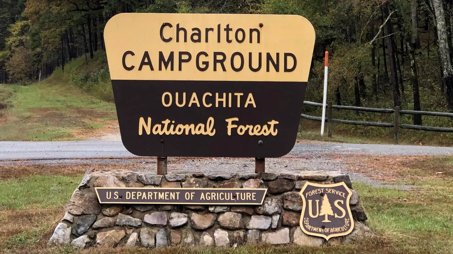
Camping near Hot Springs, Arkansas includes 1 public campground on record, 1 reservable. All are run by the U.S. Forest Service. Another 24 public campgrounds filed under nearby towns are within 30 miles of Hot Springs.
noindex Fewer than 5 campgrounds here clear the indexable bar yet, so this page stays noindex.
Camping near Hot Springs at a glance
- Public campgrounds
- 1 (1 National Forest)
- Getting a site
- 1 reservable
- Cost
- Lowest posted fee at Charlton: "Single Site: $15 per night"
- Distance from Hot Springs
- 19 miles in a straight line
- Elevation
- 673 ft at Charlton (the only one on record)
- Campsites
- 48 across the 1 campground that state a count
- RVs
- 1 take RVs; hookups at Charlton; longest stated RV length 80 ft (Charlton)
- Drinking water
- 1 of 1
Distances are straight-line miles from Hot Springs's point in the US Census Bureau Gazetteer (2025), not driving distances. Every other fact comes from each campground's own sourced record, linked from its page.
More campgrounds within 30 miles of Hot Springs
- Gulpha Gorge Campground, 2.5 miles from Hot Springs in a straight line , National Park Service , reservable ; listed under camping near Garland.
- Stephens Park, 9.7 miles from Hot Springs in a straight line , Army Corps of Engineers , reservable ; listed under camping near Garland.
- Avery, 9.8 miles from Hot Springs in a straight line , Army Corps of Engineers , reservable ; listed under camping near Garland.
- Spillway, 11 miles from Hot Springs in a straight line , Army Corps of Engineers , reservable ; listed under camping near Garland.
- Brady Mountain, 14 miles from Hot Springs in a straight line , Army Corps of Engineers , reservable ; listed under camping near Garland.
- Arlie Moore, 17 miles from Hot Springs in a straight line , Army Corps of Engineers , reservable ; listed under camping near Clark.
- Caddo Drive, 18 miles from Hot Springs in a straight line , Army Corps of Engineers , reservable ; listed under camping near Hot Spring.
- Crystal Springs, 18 miles from Hot Springs in a straight line , Army Corps of Engineers , reservable ; listed under camping near Garland.
- Highway 7 Recreation Area, 18 miles from Hot Springs in a straight line , Army Corps of Engineers , reservable ; listed under camping near Clark.
- Edgewood, 18 miles from Hot Springs in a straight line , Army Corps of Engineers , reservable ; listed under camping near Hot Spring.
- Shouse Ford, 19 miles from Hot Springs in a straight line , Army Corps of Engineers , reservable ; listed under camping near Hot Spring.
- Iron Mountain, 19 miles from Hot Springs in a straight line , Army Corps of Engineers , reservable ; listed under camping near Clark.
- Alpine Ridge, 19 miles from Hot Springs in a straight line , Army Corps of Engineers , reservable ; listed under camping near Clark.
- Charlton Group Campground, 19 miles from Hot Springs in a straight line , National Forest , first-come (Single Site: $15 per night); listed under camping near Garland.
- Hickory Nut Mountain, 22 miles from Hot Springs in a straight line , National Forest , first-come (free); listed under camping near Mount Ida.
- Lower Lake Recreation Area, 22 miles from Hot Springs in a straight line , Army Corps of Engineers , reservable ; listed under camping near Clark.
- Joplin, 23 miles from Hot Springs in a straight line , Army Corps of Engineers , reservable ; listed under camping near Montgomery.
- Tompkins Bend, 25 miles from Hot Springs in a straight line , Army Corps of Engineers , reservable ; listed under camping near Montgomery.
- Denby Point, 25 miles from Hot Springs in a straight line , Army Corps of Engineers , reservable ; listed under camping near Montgomery.
- Little Fir, 26 miles from Hot Springs in a straight line , Army Corps of Engineers , reservable ; listed under camping near Montgomery.
- South Fourche, 27 miles from Hot Springs in a straight line , National Forest , first-come (Single Site: $5 per night); listed under camping near Perry.
- Lake Sylvia, 29 miles from Hot Springs in a straight line , National Forest , first-come ; listed under camping near Perry.
- Lake Sylvia, 29 miles from Hot Springs in a straight line , National Forest , first-come ; listed under camping near Perry.
- Highway 27 Campground, 30 miles from Hot Springs in a straight line , Army Corps of Engineers ; listed under camping near Montgomery.
Things to do near Hot Springs
Public land and water within 30 miles of Hot Springs, the public land its campgrounds sit in, and landmarks at those campgrounds, nearest first.
- Buckstaff Bathhouse, a hot spring whose mapped point is 1.6 miles from Hot Springs; soaking details on swimholesmap.com.
- Hot Springs National Park, a hot spring whose mapped point is 1.6 miles from Hot Springs; soaking details on swimholesmap.com.
- Quapaw Baths, a hot spring whose mapped point is 1.6 miles from Hot Springs; soaking details on swimholesmap.com.
- Hot Springs National Park, a National Park Service unit whose mapped point is 2.4 miles from Hot Springs; its entrance fees, current alerts and fire restrictions, and boundary on publiclandsdb.com.
- Lake Catherine State Park, a state park whose mapped point is 8.7 miles from Hot Springs; its hours, entrance fee, and boundary on publiclandsdb.com.
- Lake Ouachita State Park, a state park whose mapped point is 12 miles from Hot Springs; its hours, entrance fee, and boundary on publiclandsdb.com.
- DeGray Lake Resort State Park, a state park whose mapped point is 18 miles from Hot Springs; its hours, entrance fee, and boundary on publiclandsdb.com.
- Ouachita National Forest, Charlton (19 miles from Hot Springs) sits inside this national forest; publiclandsdb.com has its dispersed-camping rule, ranger offices, and boundary.
- Flatside Wilderness, a wilderness area whose mapped point is 26 miles from Hot Springs; its permit and camping rules and boundary on publiclandsdb.com.
Supplies and emergencies near Hot Springs
Nearest emergency room
National Park Medical Center
1910 Malvern Ave, Hot Springs, AR, 1 mile from Hot Springs . (501) 321-1000
Next nearest: Levi Hospital, 300 Prospect Ave, Hot Springs, AR, 1.5 miles , (501) 624-1281.
In an emergency, call 911.
Both report emergency services in the CMS Hospital General Information dataset (accessed 2026-09-26) .
- Groceries
-
- Walmart Neighborhood Market
- Valero
- Exxon
- Fuel
-
- Valero
- Valero
- Exxon
- Pharmacy
-
- Walgreens
- Walgreens
Not mapped in OpenStreetMap within 25 miles of Hot Springs: propane, RV dump station, potable water fill, laundromat, and ice. Stores, fuel, propane, dump stations, water fill, laundromats, and pharmacies are the nearest few mapped within 25 miles, straight-line, © OpenStreetMap contributors (data as of 2026-10-01; this extract under the ODbL). Hours are as mapped; call ahead.
Common questions
Where can I camp around Hot Springs, AR?
1 public campground is on record near Hot Springs. Nearest first, straight-line from town: Charlton (19 miles). 1 books through Recreation.gov.
Is there free camping near Hot Springs, AR?
Not at a developed campground: each of the 1 public campground on record near Hot Springs charges a fee, listed in the table.
Where can I camp with an RV near Hot Springs, AR?
1 campground near Hot Springs takes RVs: Charlton. Charlton has hookups.
Where can I go tent camping near Hot Springs, AR?
Charlton lists tent or walk-in sites on record.
Where can I camp near Hot Springs with drinking water?
Charlton has potable water on record.
Where is the nearest emergency room to Hot Springs, AR?
National Park Medical Center, 1910 Malvern Ave, Hot Springs, AR, is 1 mile from Hot Springs in a straight line and reports emergency services to CMS; phone (501) 321-1000. In an emergency, call 911.
Every campground in the state: camping in Arkansas ; by agency: National Forest campgrounds in Arkansas .