
Camping near Oark, Arkansas
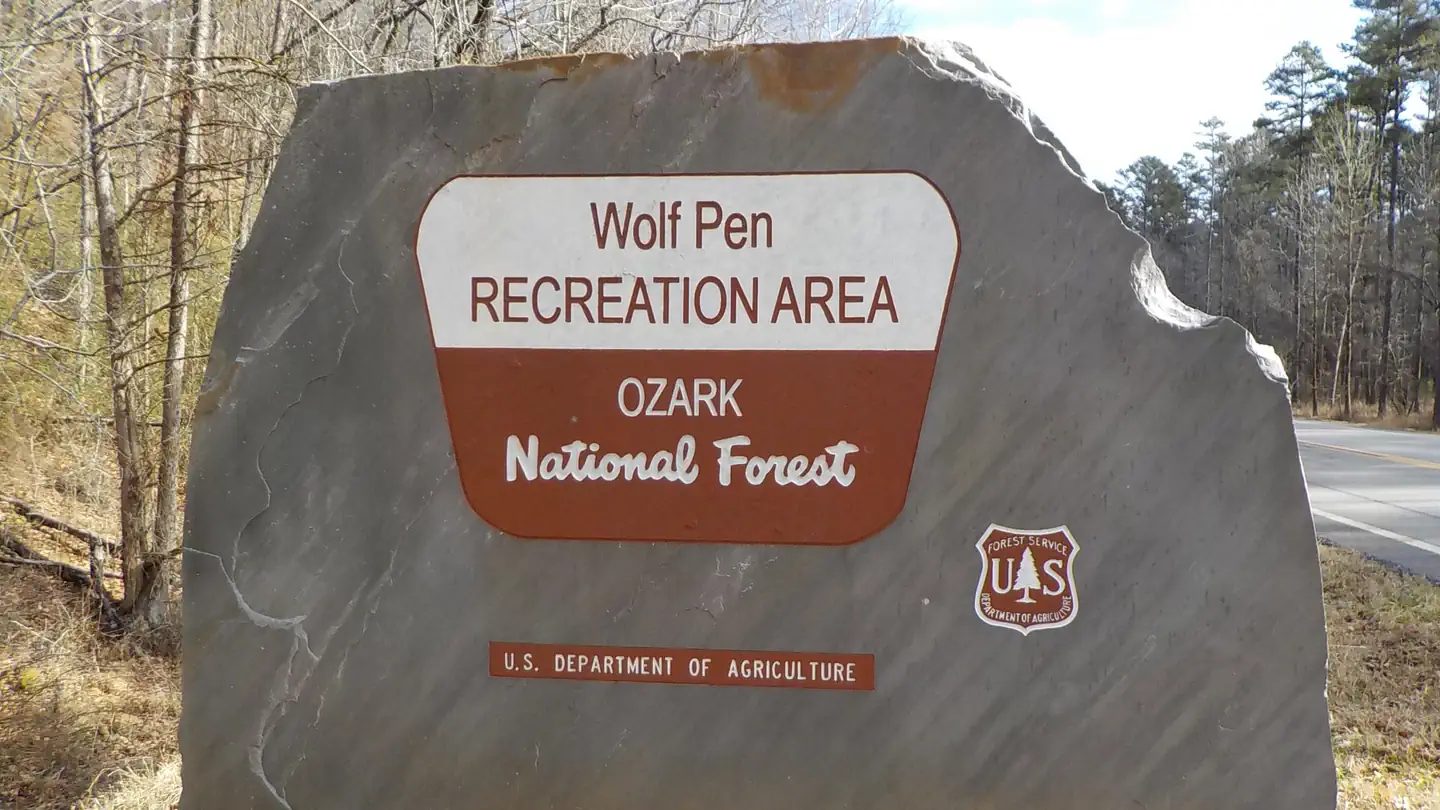
Camping near Oark, Arkansas includes 2 public campgrounds on record, 2 reservable. All are run by the U.S. Forest Service. The nearest, Wolf Pen Campground, is 3.4 miles from Oark in a straight line, and all 2 are within 15 miles. Another 13 public campgrounds filed under nearby towns are within 30 miles of Oark.
noindex Fewer than 5 campgrounds here clear the indexable bar yet, so this page stays noindex.
Camping near Oark at a glance
- Public campgrounds
- 2 (2 National Forest)
- Getting a site
- 2 reservable
- Cost
- Lowest posted fee at Wolf Pen Campground: "Single Site: $10 per night"
- Distance from Oark
- 3.4 miles (Wolf Pen Campground) to 12 miles (Redding Campground) in a straight line; 2 within 15 miles
- Elevation
- 1,000 ft (Wolf Pen Campground) to 1,000 ft (Redding Campground), 2 of 2 on record
- Campsites
- 2 across the 2 campgrounds that state a count
- Drinking water
- 1 of 2
Distances are straight-line miles from Oark's point in the US Census Bureau Gazetteer (2025), not driving distances. Every other fact comes from each campground's own sourced record, linked from its page.

More campgrounds within 30 miles of Oark
- Ozone Campground, 7.2 miles from Oark in a straight line , National Forest , reservable (Single Site: $10 per night); listed under camping near Ozone.
- Horsehead Lake Recreation Area, 9.7 miles from Oark in a straight line , National Forest , reservable (Single Site: $15 per night); listed under camping near Clarksville.
- Haw Creek Falls Campground, 18 miles from Oark in a straight line , National Forest , first-come (free); listed under camping near Pelsor.
- Spadra, 19 miles from Oark in a straight line , Army Corps of Engineers , reservable ; listed under camping near Johnson.
- Aux Arc, 21 miles from Oark in a straight line , Army Corps of Engineers , reservable ; listed under camping near Franklin.
- White Rock Campground, 21 miles from Oark in a straight line , National Forest , first-come ($15.00 per site, overnight); listed under camping near Ozark.
- Shores Lake Recreation Area, 22 miles from Oark in a straight line , National Forest , reservable (Single Site: $15 per night); listed under camping near Ozark.
- Piney Bay, 25 miles from Oark in a straight line , Army Corps of Engineers , reservable ; listed under camping near Johnson.
- Long Pool Recreation Area, 25 miles from Oark in a straight line , National Forest , reservable (Single Site: $15 per night - no elec and pit toilets, water available); listed under camping near Dover.
- Steel Creek Campground, 27 miles from Oark in a straight line , National Park Service , reservable ; listed under camping near Newton.
- Shoal Bay, 28 miles from Oark in a straight line , Army Corps of Engineers , reservable ; listed under camping near Logan.
- Moccasin Gap, 30 miles from Oark in a straight line , National Forest , reservable ; listed under camping near Pope.
- Kyles Landing Campground, 30 miles from Oark in a straight line , National Park Service , reservable ; listed under camping near Newton.
Things to do near Oark
Public land and water within 30 miles of Oark, the public land its campgrounds sit in, and landmarks at those campgrounds, nearest first.
- Ozark-St. Francis National Forest, all 2 campgrounds here sit inside this national forest, the nearest Wolf Pen Campground at 3.4 miles from Oark; publiclandsdb.com has its dispersed-camping rule, ranger offices, and boundary.
- Glory Hole Falls, a waterfall whose mapped point is 15 miles from Oark; details on the falls on swimholesmap.com.
- Upper Buffalo Wilderness, a wilderness area whose mapped point is 15 miles from Oark; its permit and camping rules and boundary on publiclandsdb.com.
- Haw Creek Falls, a waterfall whose mapped point is 18 miles from Oark; details on the falls on swimholesmap.com.
- Hurricane Creek Wilderness, a wilderness area whose mapped point is 22 miles from Oark; its permit and camping rules and boundary on publiclandsdb.com.
- Eden Falls, a waterfall whose mapped point is 25 miles from Oark; details on the falls on swimholesmap.com.
- Buffalo National River Wilderness, a wilderness area whose mapped point is 30 miles from Oark; its permit and camping rules and boundary on publiclandsdb.com.
Supplies and emergencies near Oark
Nearest emergency room
Johnson Regional Medical Center
1100 E Poplar St, Clarksville, AR, 18 miles from Oark . (479) 754-5454
Next nearest: Mercy Hospital Ozark, 801 W River St, Ozark, AR, 21 miles , (479) 667-4138.
In an emergency, call 911.
Both report emergency services in the CMS Hospital General Information dataset (accessed 2026-09-26) .
- Groceries
-
- Turner Bend Store
- El Palenque Market
- Harps
- Fuel
-
- McCormick's One Stop
- Fuel Stop
- Love's
- RV dump station
-
- Aux Arc Park
- Pharmacy
-
- Rose Drug
- Village Pharmacy
Not mapped in OpenStreetMap within 25 miles of Oark: propane, potable water fill, laundromat, and ice. Stores, fuel, propane, dump stations, water fill, laundromats, and pharmacies are the nearest few mapped within 25 miles, straight-line, © OpenStreetMap contributors (data as of 2026-10-01; this extract under the ODbL). Hours are as mapped; call ahead.
Common questions
Where can I camp around Oark, AR?
2 public campgrounds are on record near Oark. Nearest first, straight-line from town: Wolf Pen Campground (3.4 miles) and Redding Campground (12 miles). 2 book through Recreation.gov.
Is there free camping near Oark, AR?
Not at a developed campground: each of the 2 public campgrounds on record near Oark charges a fee, listed in the table.
Where can I camp near Oark with drinking water?
Redding Campground has potable water on record.
Where is the nearest emergency room to Oark, AR?
Johnson Regional Medical Center, 1100 E Poplar St, Clarksville, AR, is 18 miles from Oark in a straight line and reports emergency services to CMS; phone (479) 754-5454. In an emergency, call 911.
Every campground in the state: camping in Arkansas ; by agency: National Forest campgrounds in Arkansas .